Summer 2022, Part 4: July 27 to 30
(Read Part 1, Part 2, and Part 3)
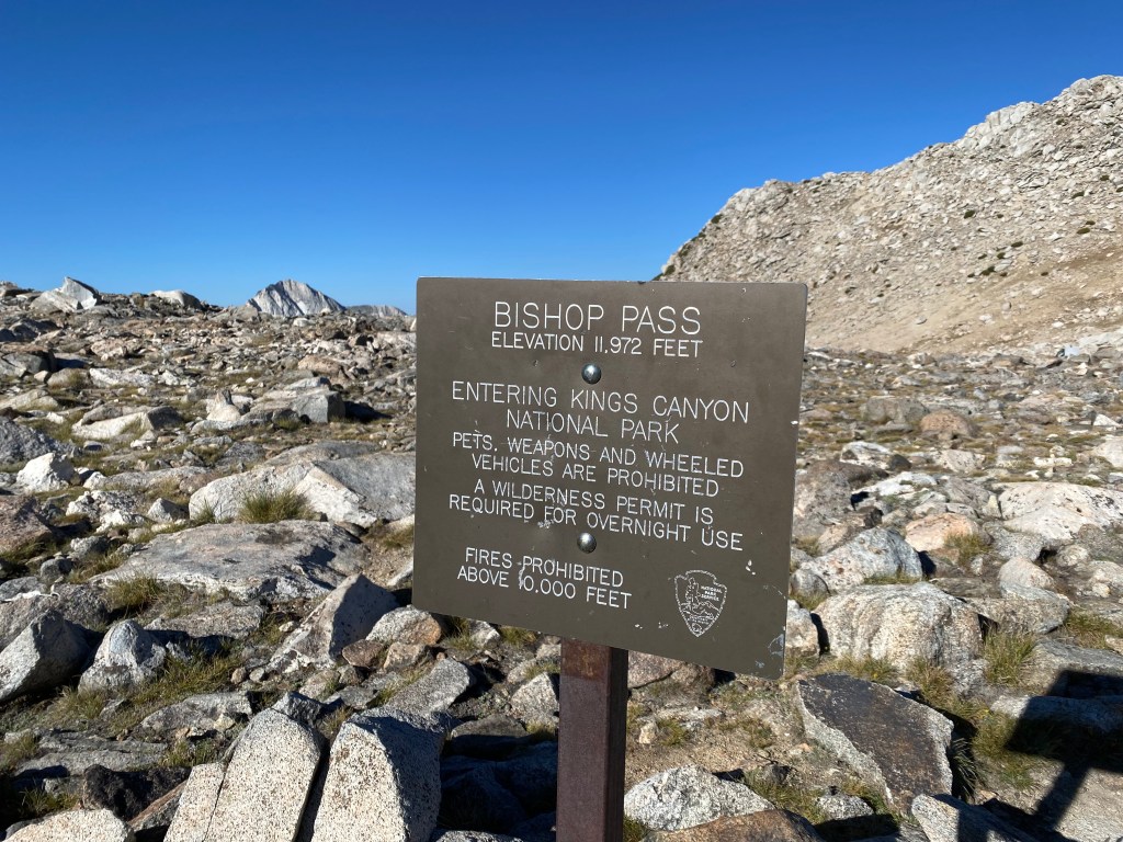
After finishing the North Lake to South Lake Loop, I spent five fun days exploring the eastern Sierra with John and gave my legs a bit of a rest before tackling the rugged terrain of Mineral King, a remote region in Sequoia National Park.
A five-hour drive brought me from Bishop to Three Rivers, the gateway to Sequoia National Park and a very small, but very cool, mountain town. Early the next morning, I started up the 23-mile Mineral King Road to the Mineral King Ranger Station.
It was neither a quick nor easy drive. Climbing around 7,000 feet over those 23 miles, the road is sometimes paved, sometimes not. It is often just wide enough for one vehicle, with nearly constant blind curves. All this while also heading east into the rising sun with a dirty windshield, my speedometer never exceeded 20 miles hour.
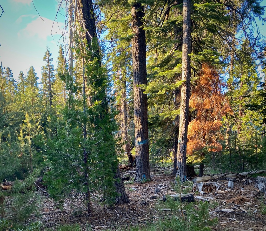
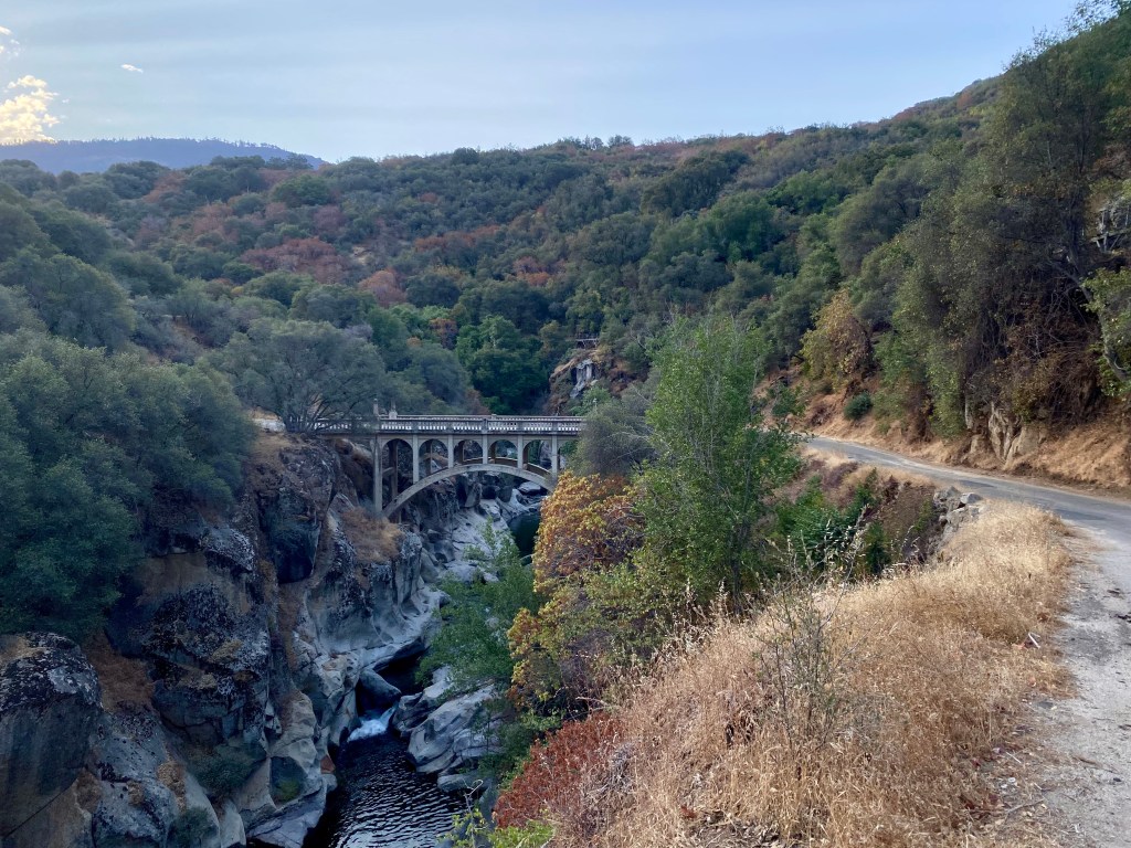
It was a beautiful and interesting drive, winding through areas where the KNP Complex fire reached the road in 2021, and where historic cabins built before the national park designation perch along the mountainside.
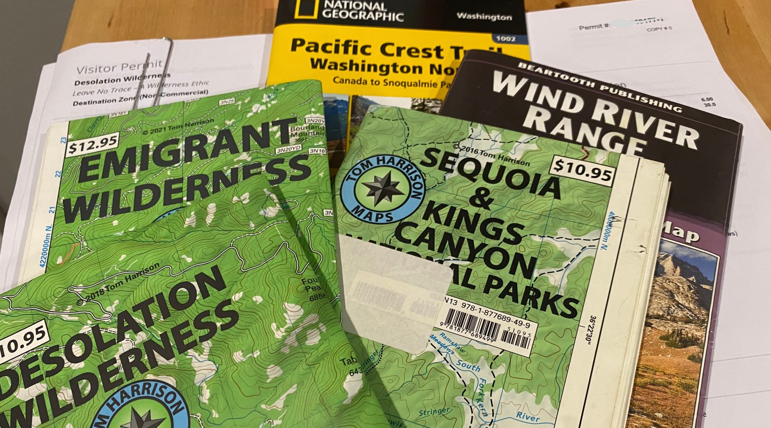
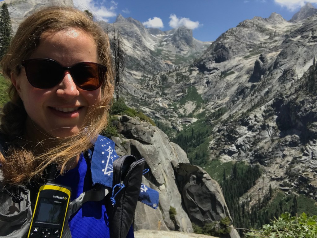
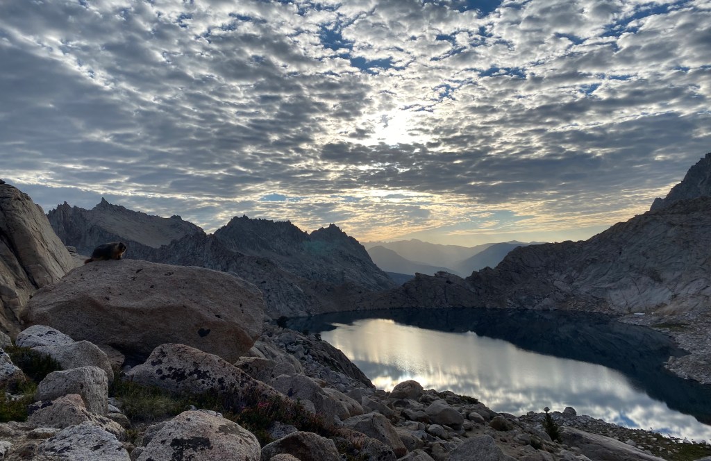
After 90 minutes, I finally reached the ranger station, got my permit, and confirmed that I did not have to wrap my car up in a tarp to protect it from marmot damage. Phew!
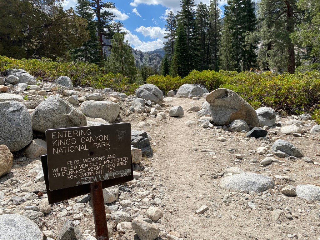
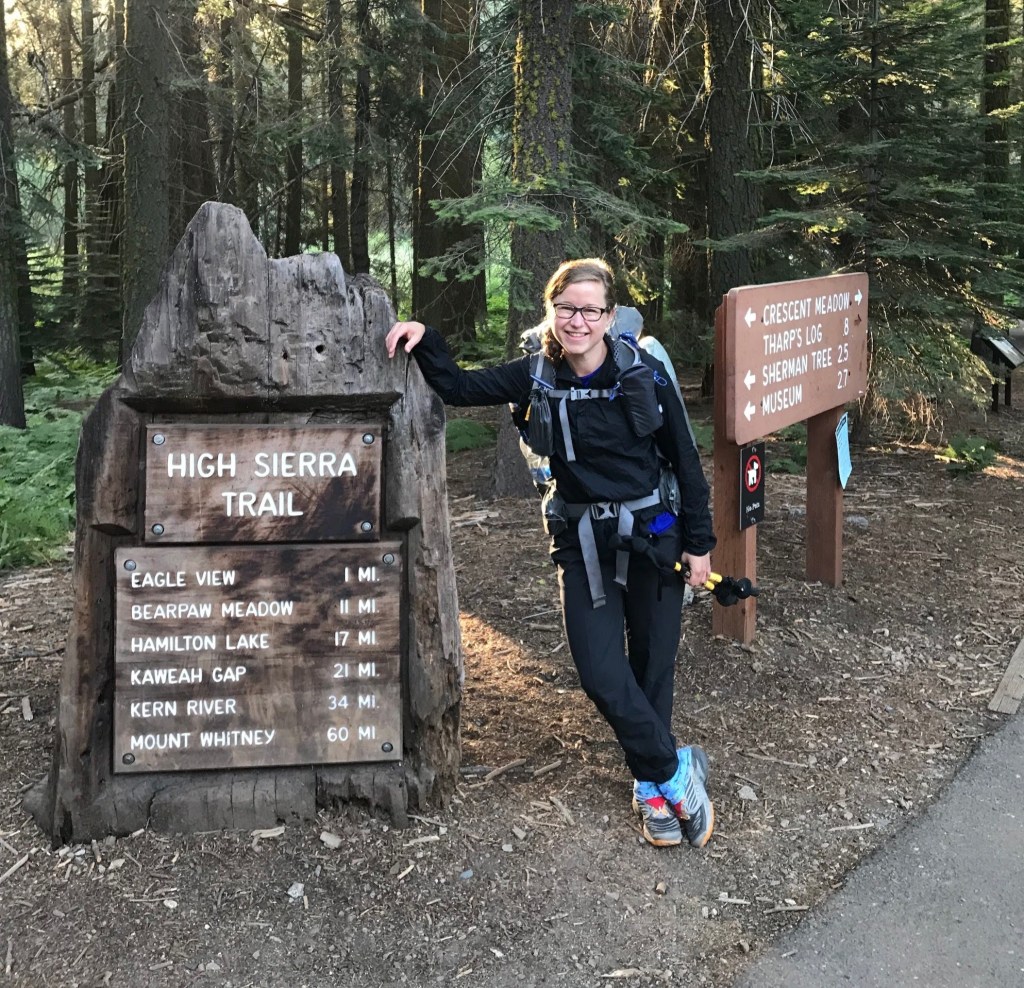
Soon enough, I was back on trail, heading into an area that I had long anticipated visiting.
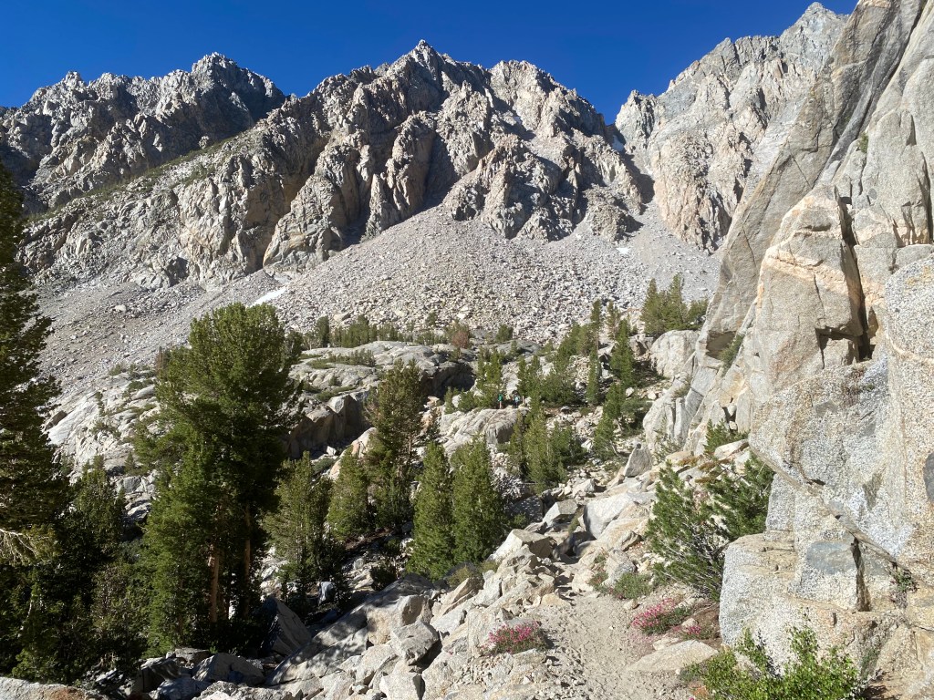
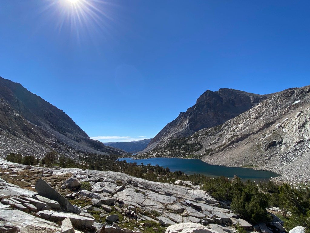
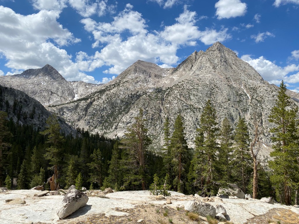
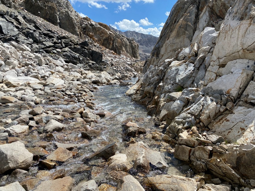
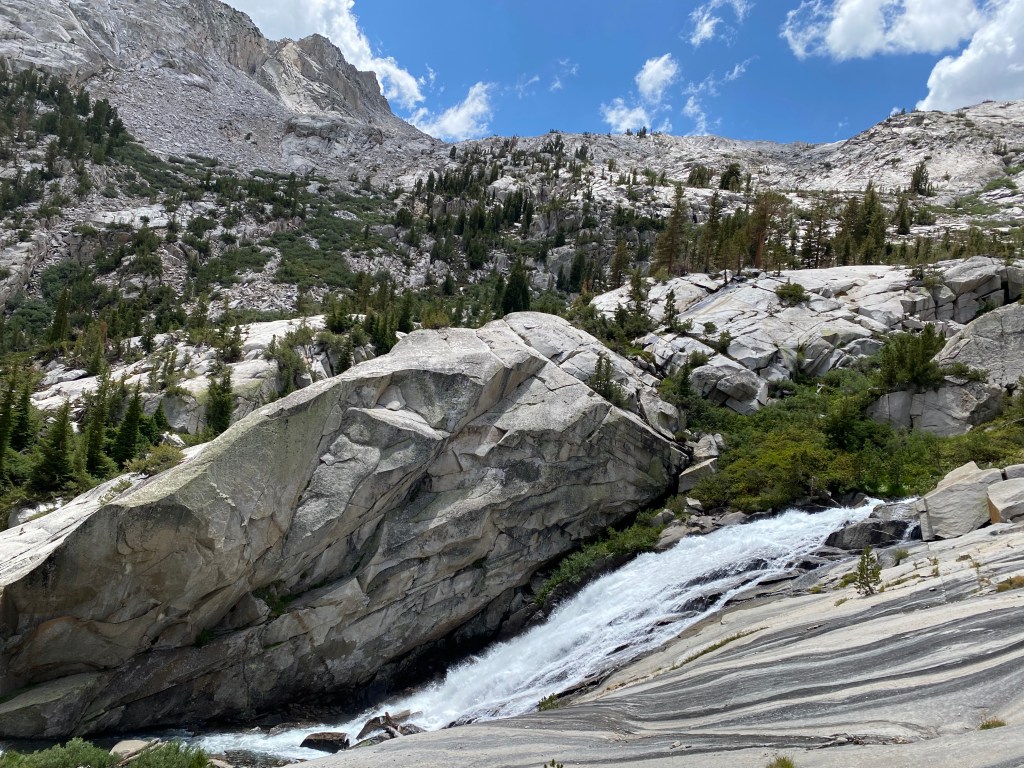
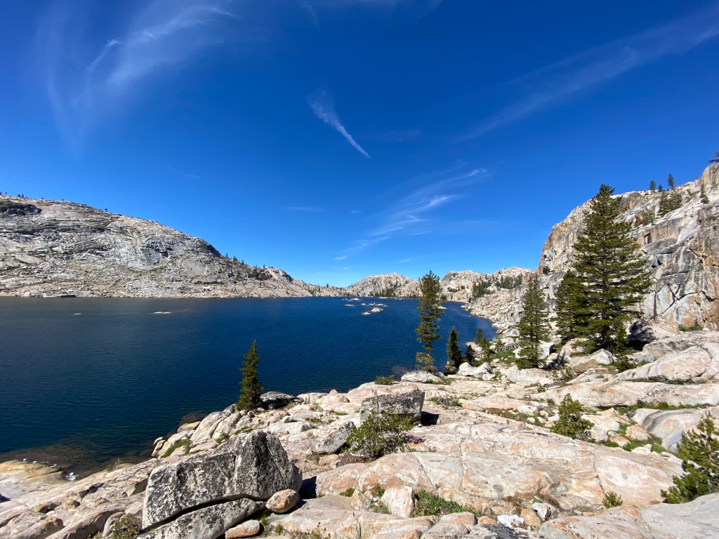
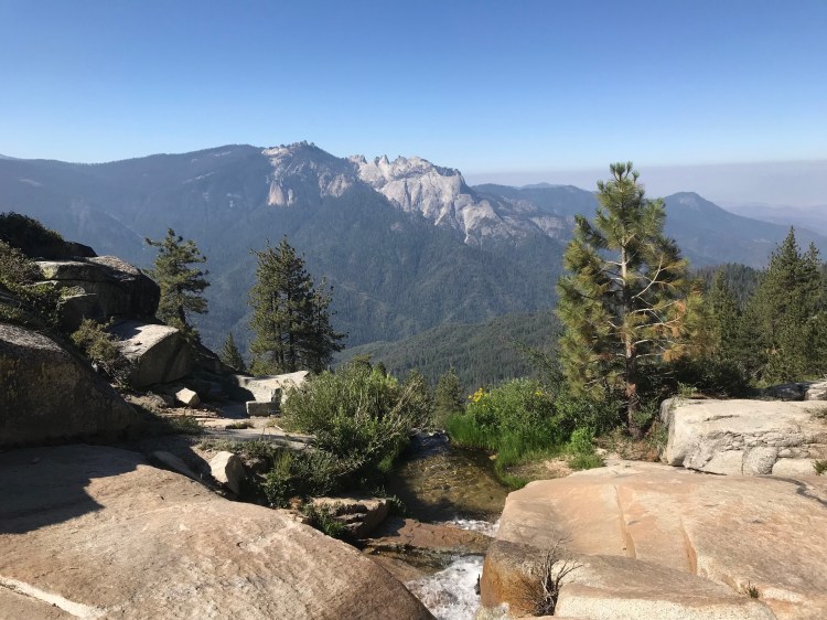
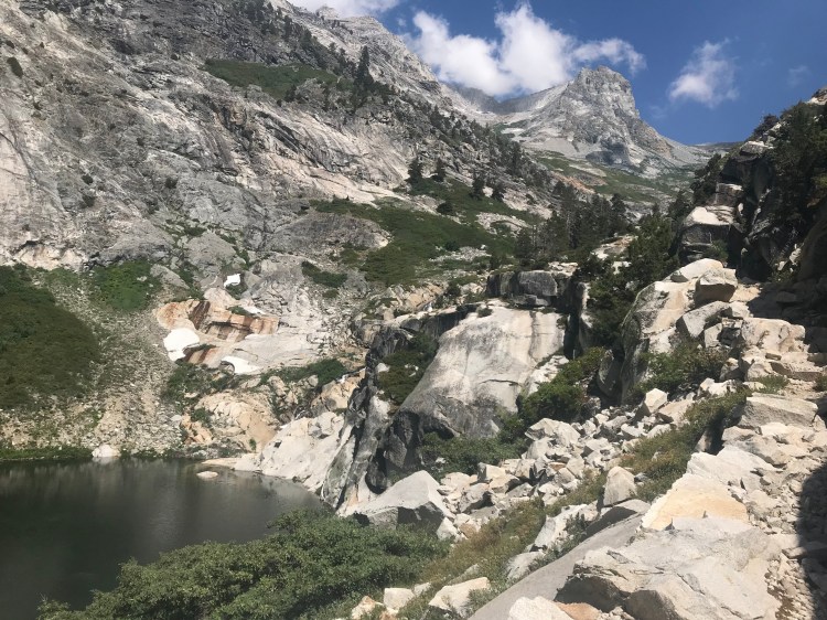
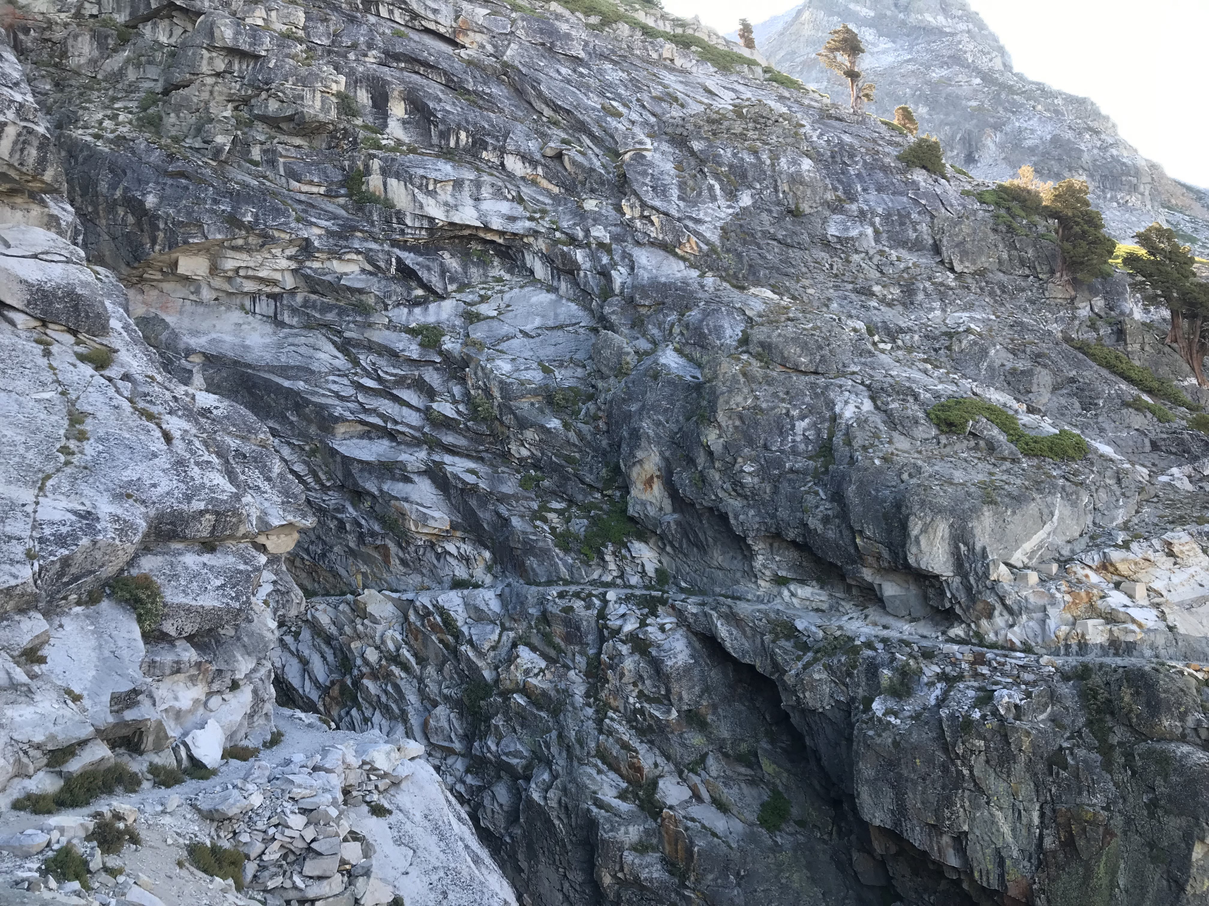
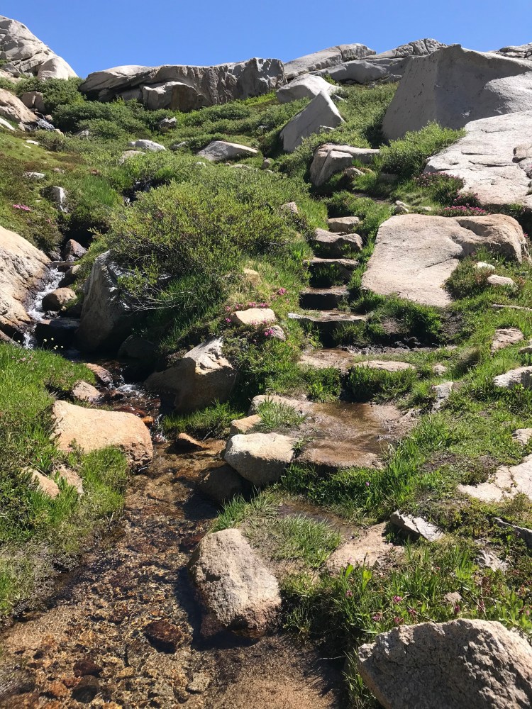
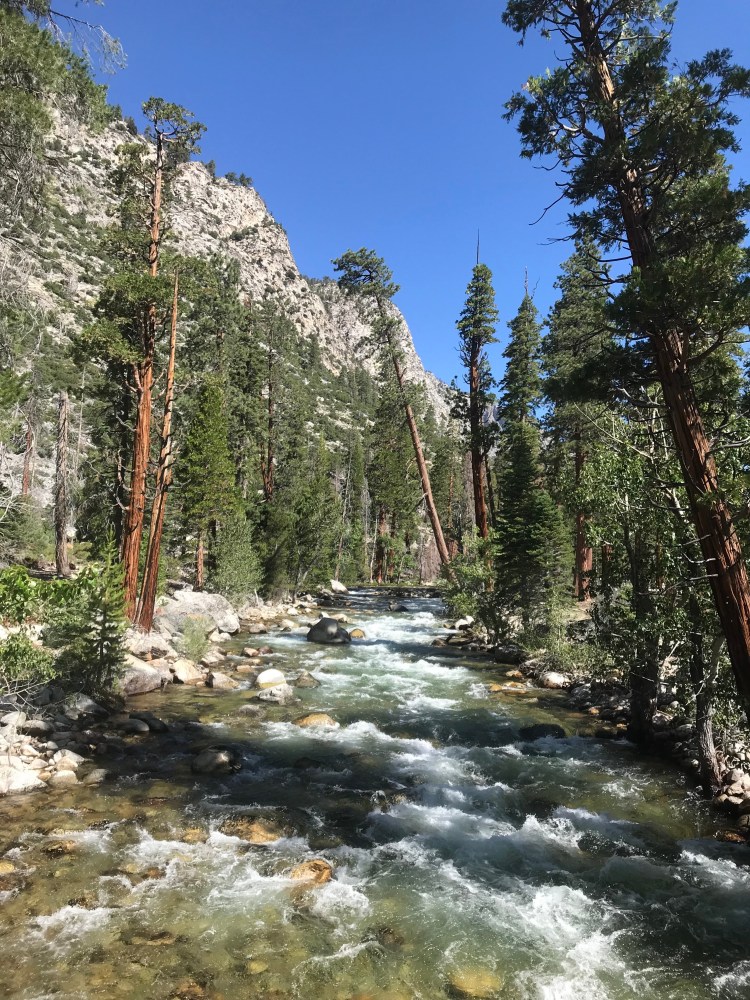
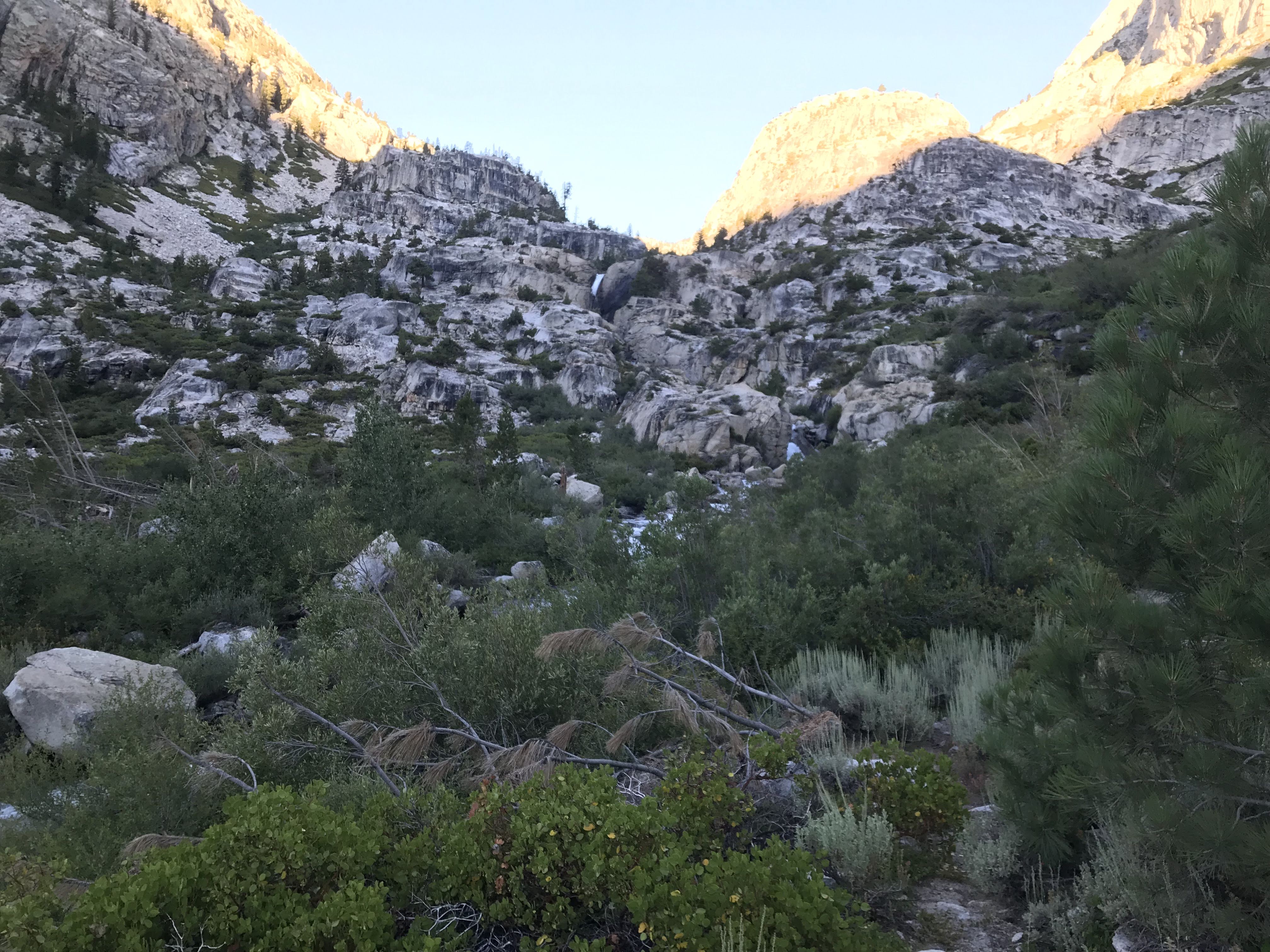
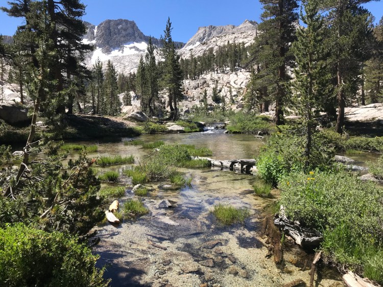
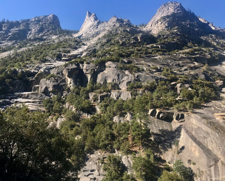
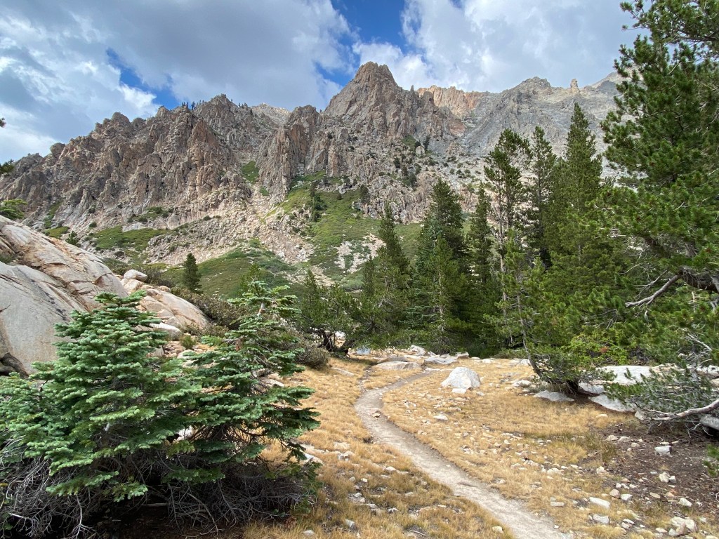
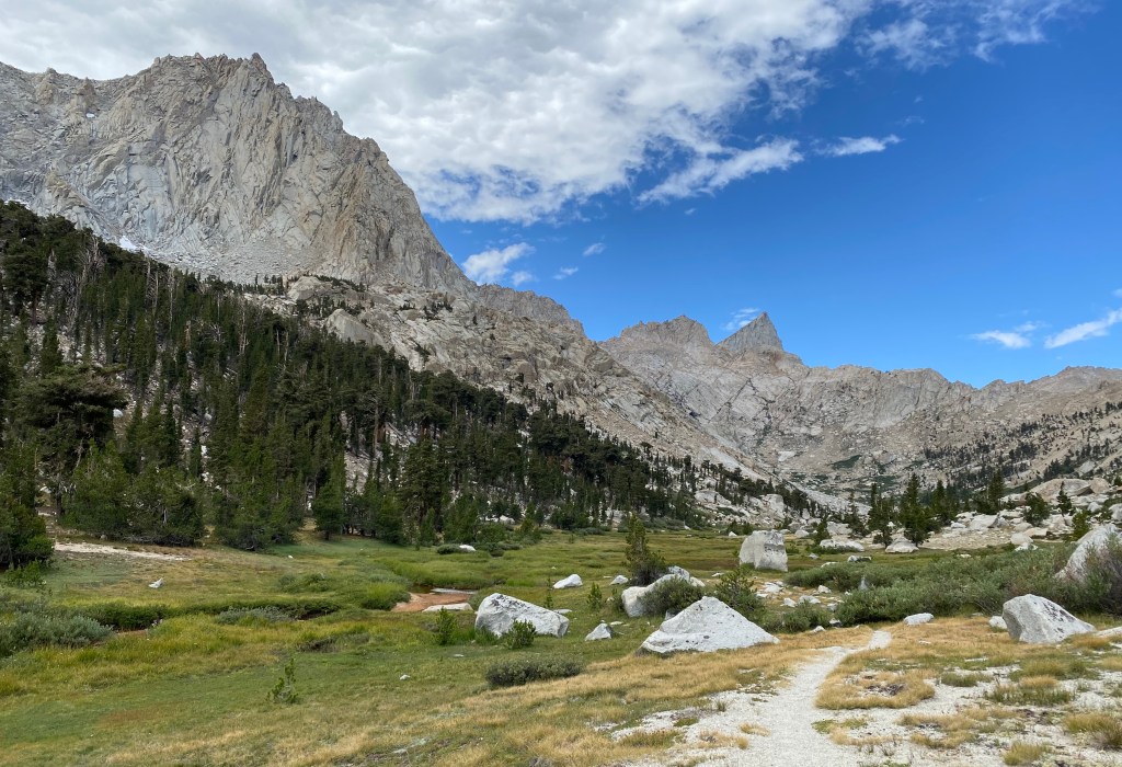
The trails of Mineral King take hikers up steep ascents and then back down into remote basins and canyons surrounded by towering, granite mountains. Elevation ranges between around 9,000 and 12,000 feet above sea level, and in Mineral King, one is nearly always going up or down, and only rarely traversing flat trail.
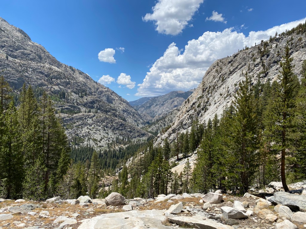
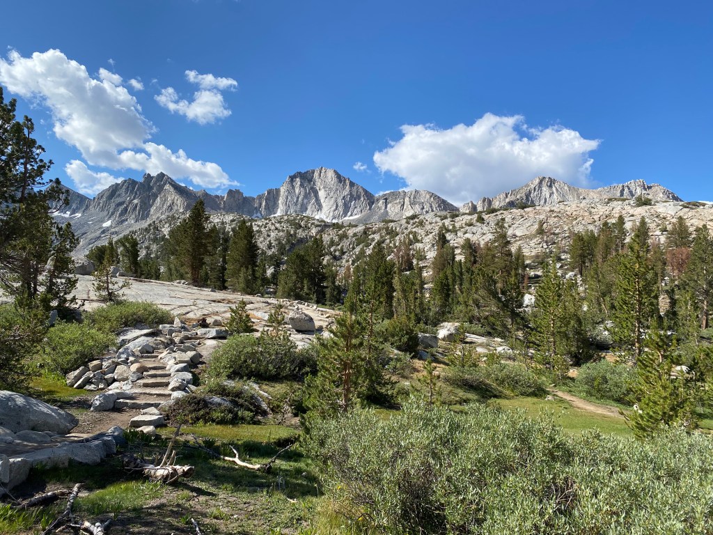
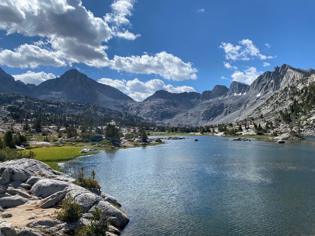
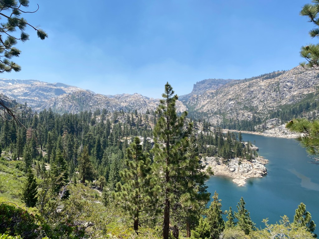
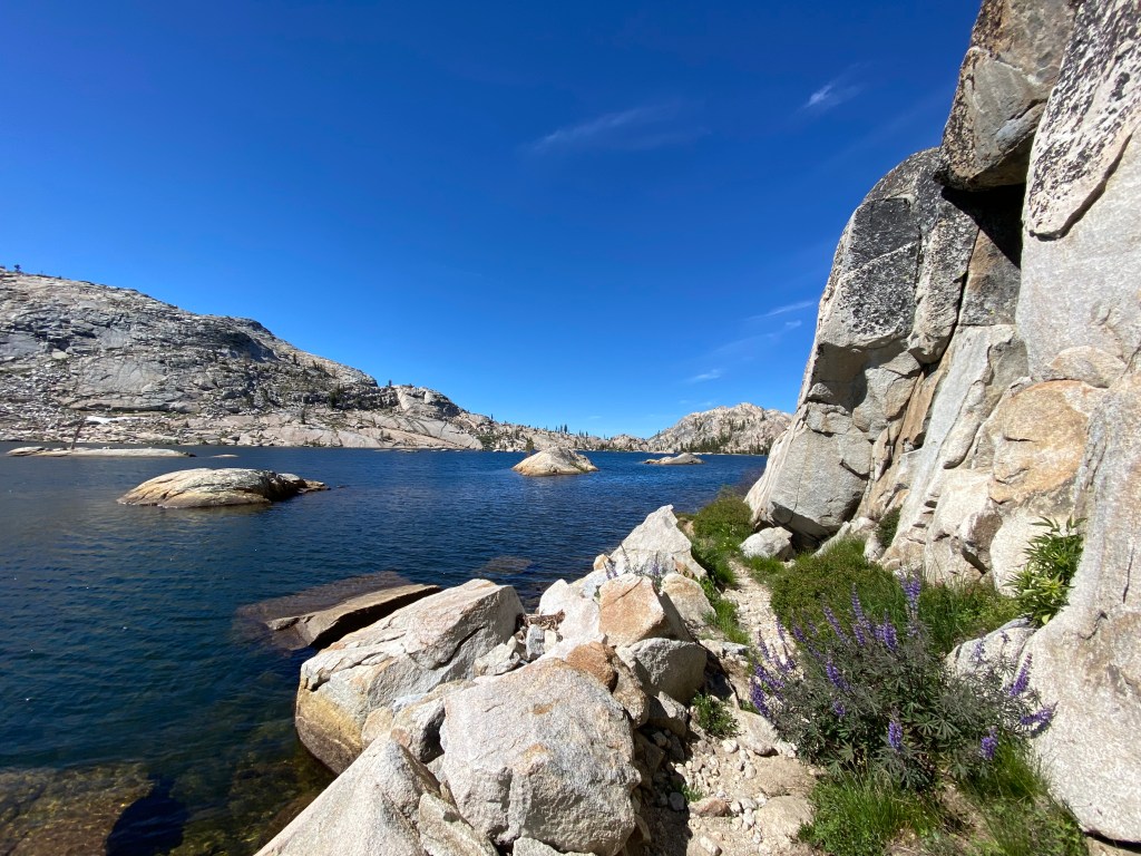
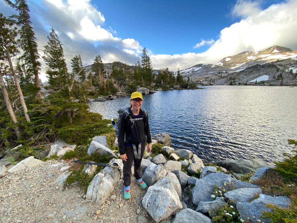
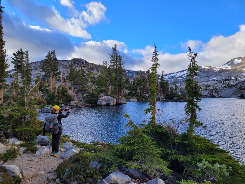
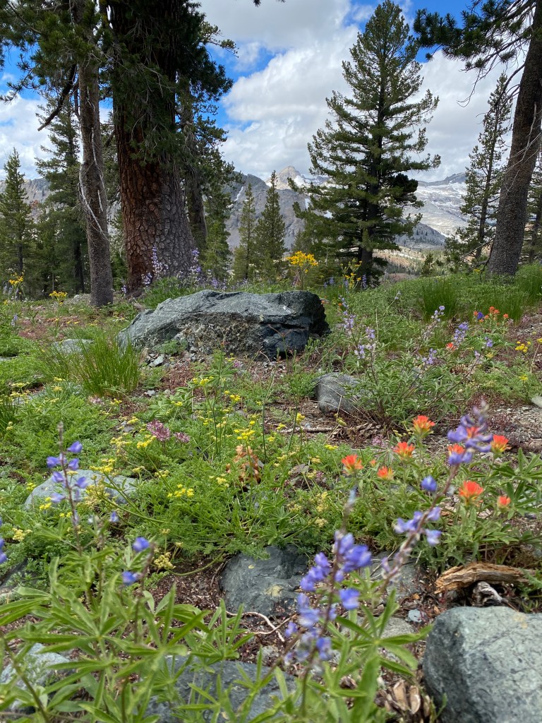
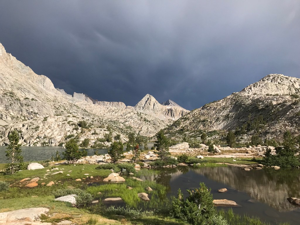
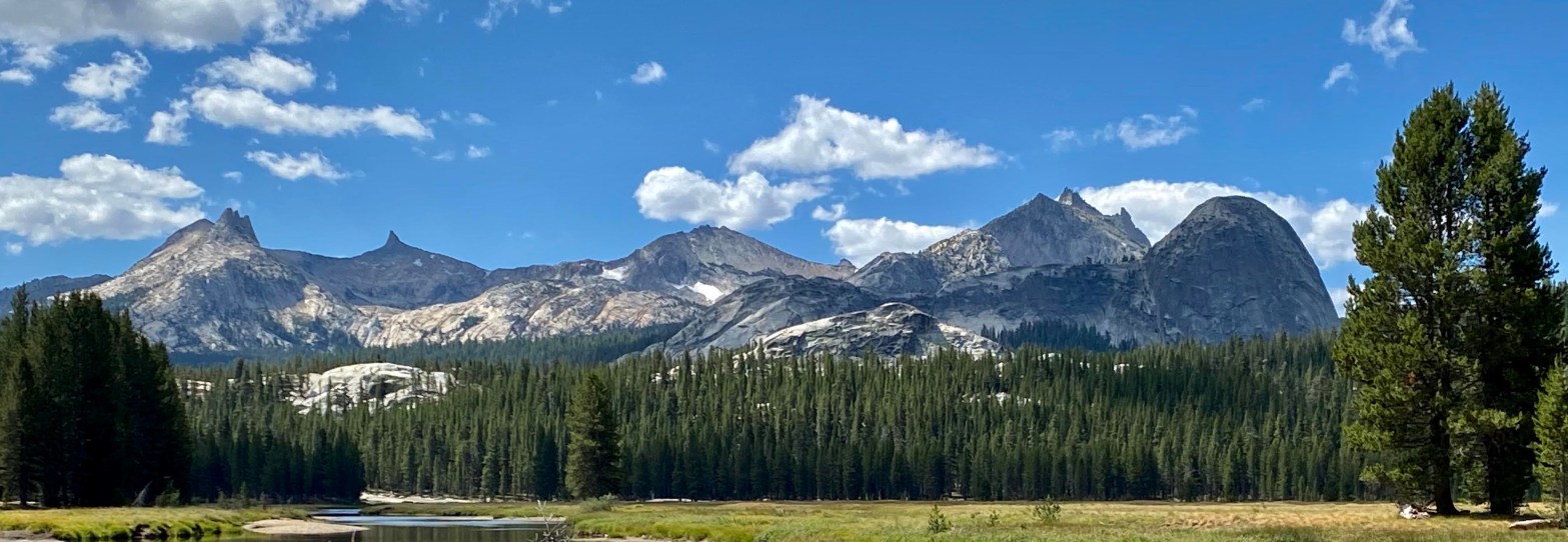
The effort is worth it, though. The views in this region are among my favorite in all of the Sierra Nevada. Walking above tree line among craggy peaks, alpine lakes, and meadows, there is no shortage of drama.
Day 1: Sawtooth Trailhead to Pinto Lake
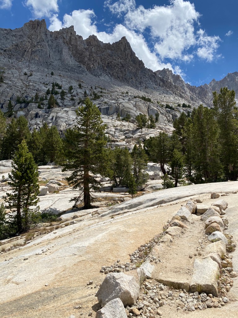
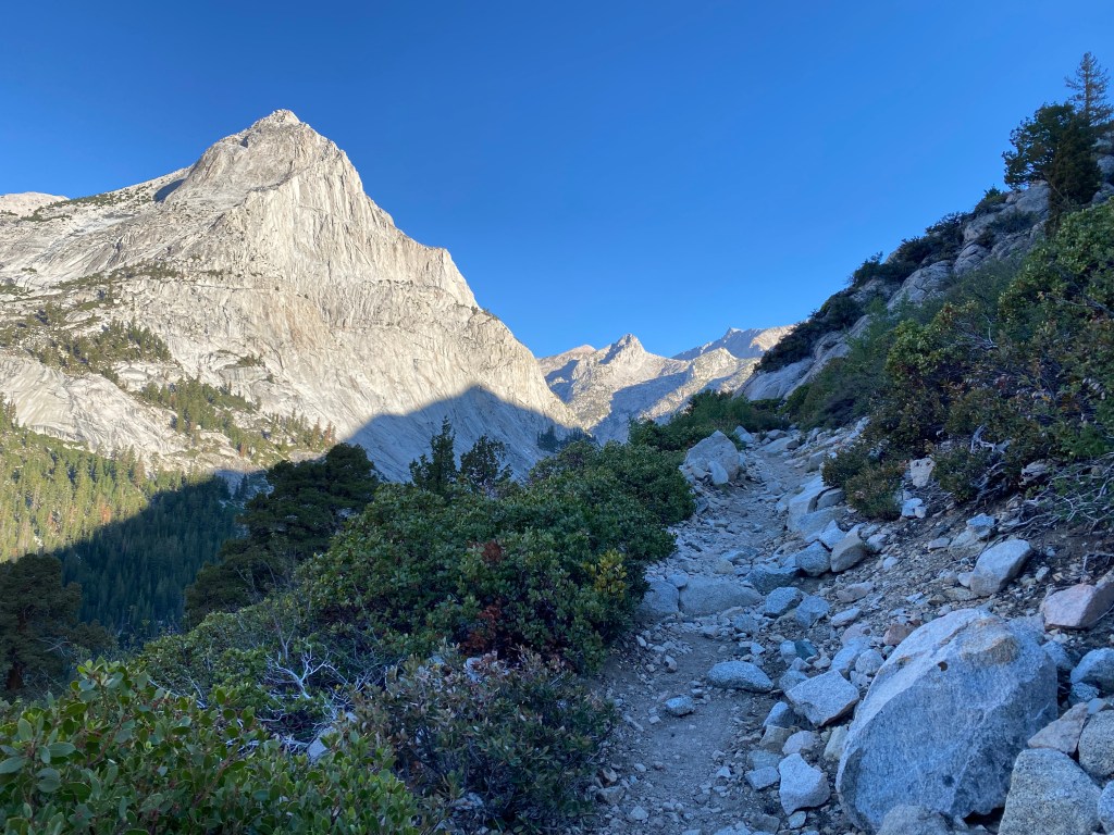
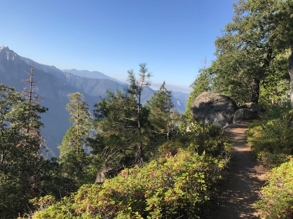
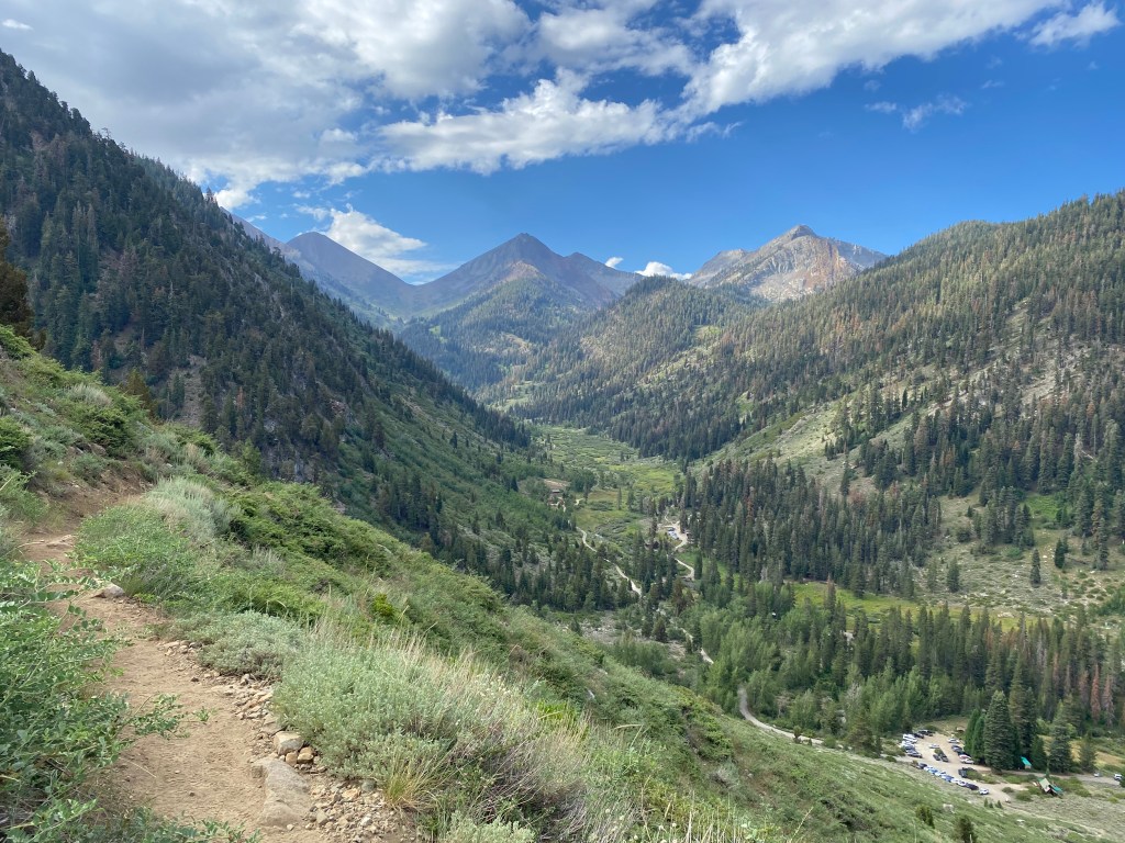
I learned immediately what I was in for, because the trail wastes no time in climbing. Switchbacks immediately wind up an exposed mountainside, and even though it was early, the sun was already warm and the air was unusually humid. I was drenched in sweat within the hour. There’s nothing like starting your day with a 1700-foot climb over 2.4 miles! But as the parking lot grew smaller, the mountains grew bigger. Soon I was up and over Timber Gap and leaving all evidence of civilization behind.
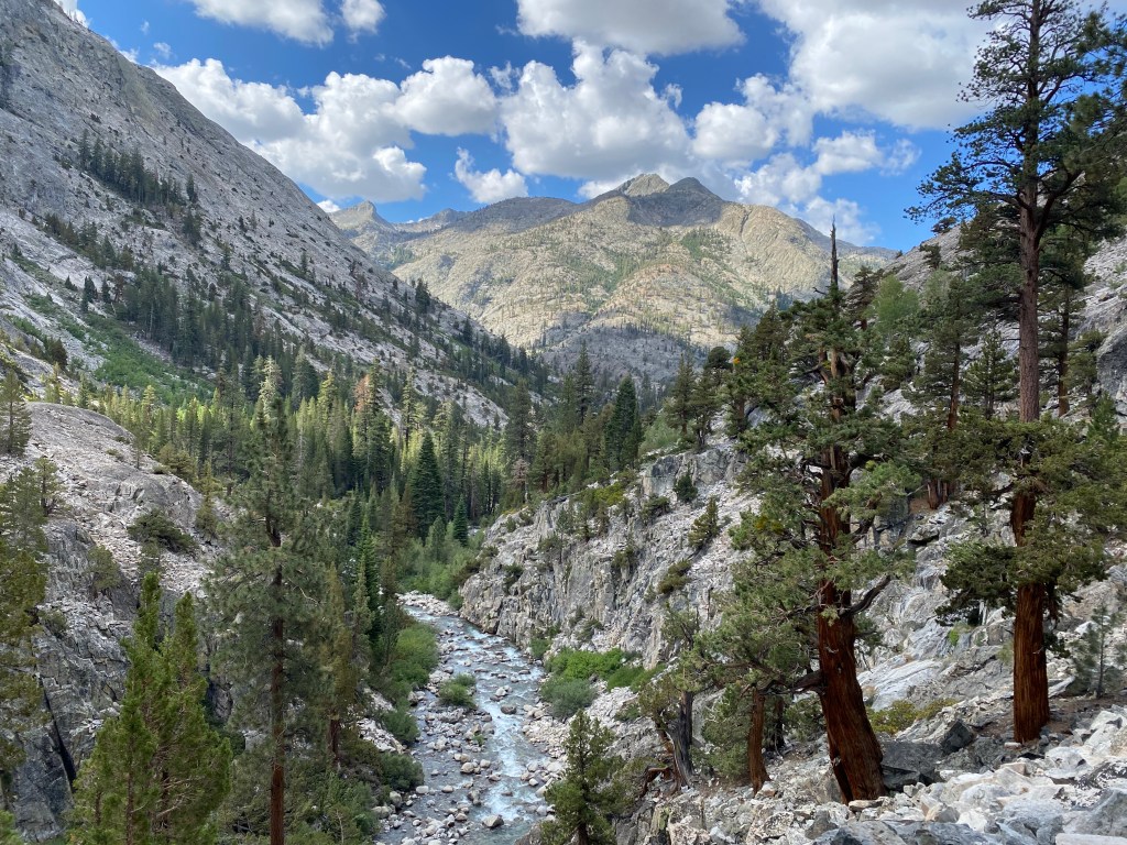
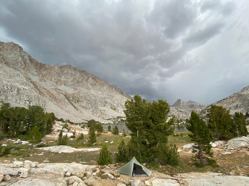
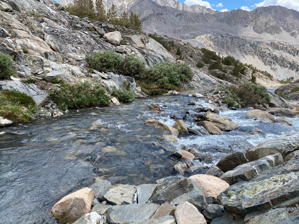
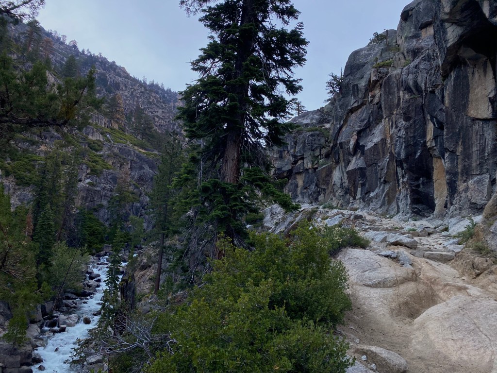
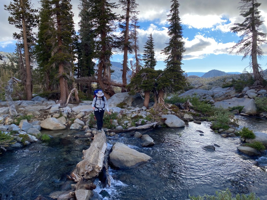
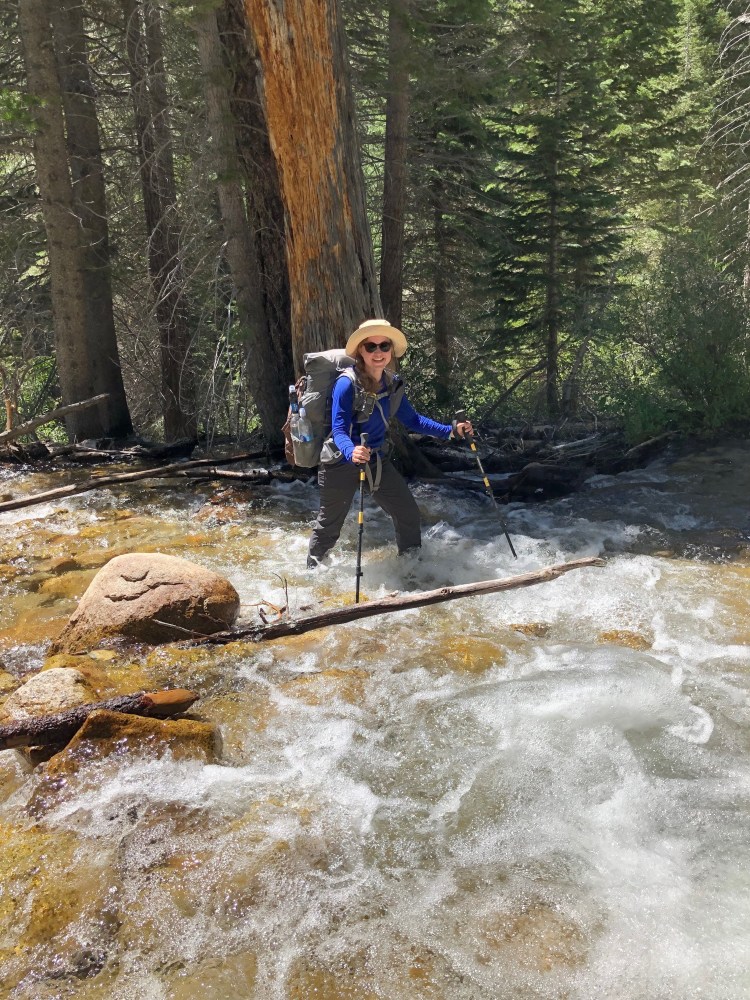
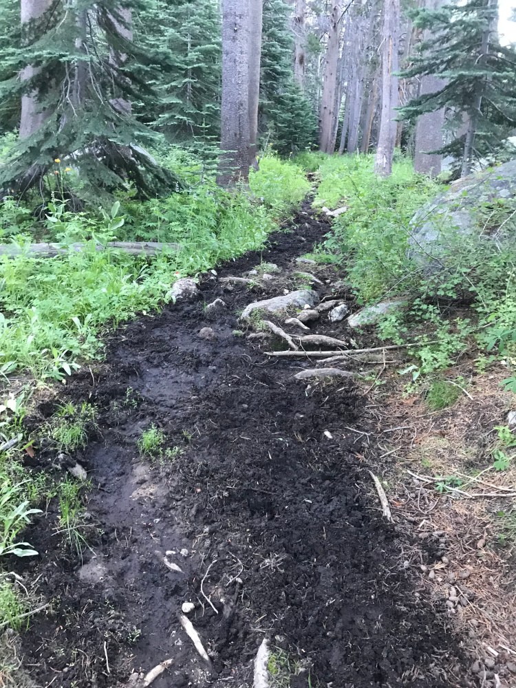
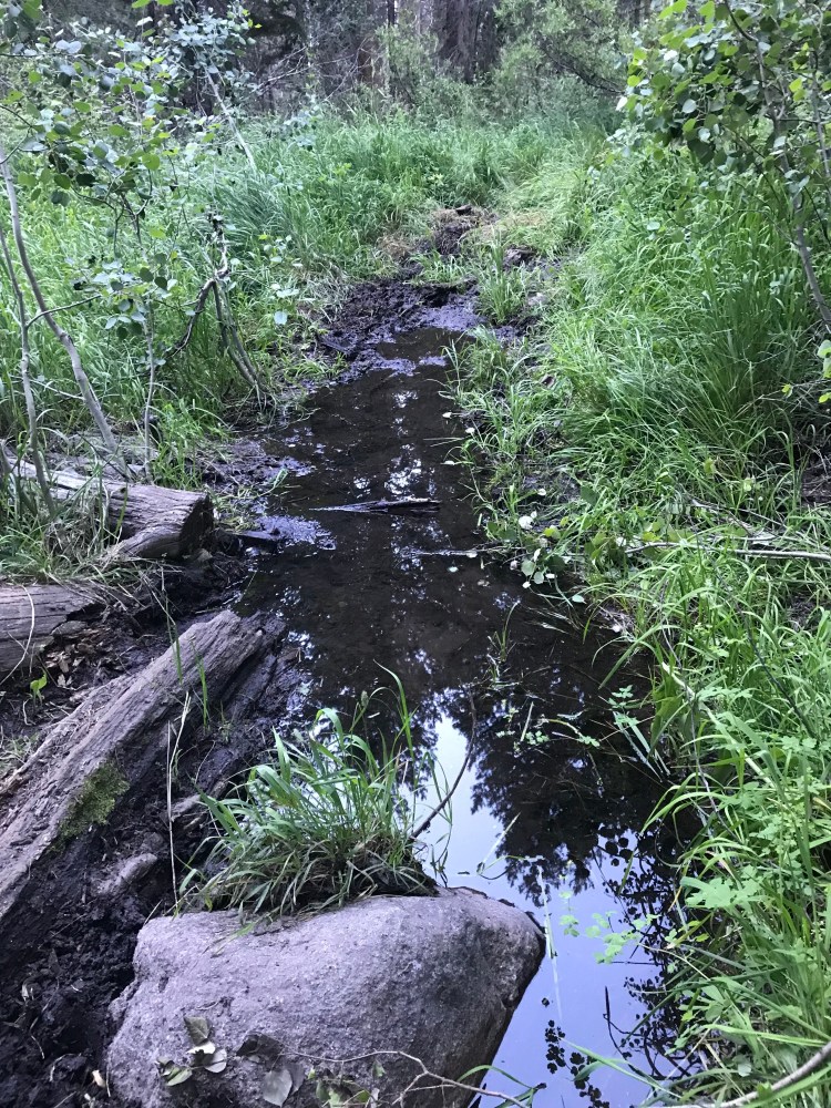
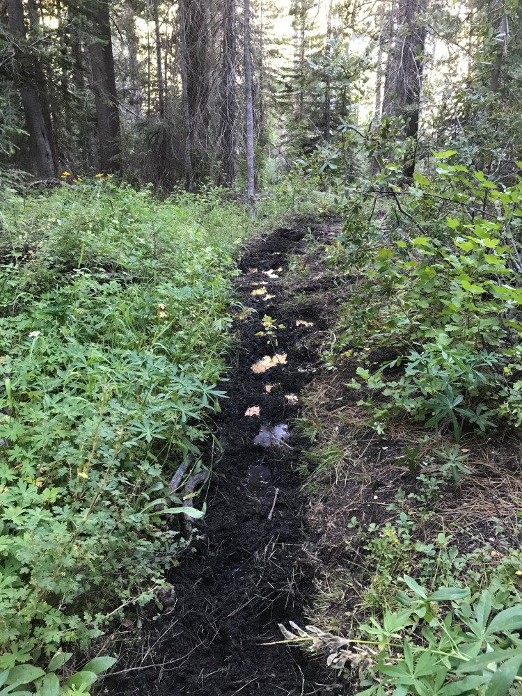
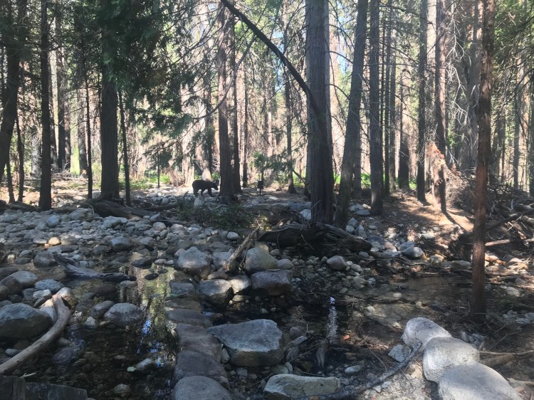
From Timber Gap, I dropped back down to Cliff Creek, losing all the elevation I had gained, and then some. And from Cliff Creek — you guessed it — right back up again, this time, in the rain.
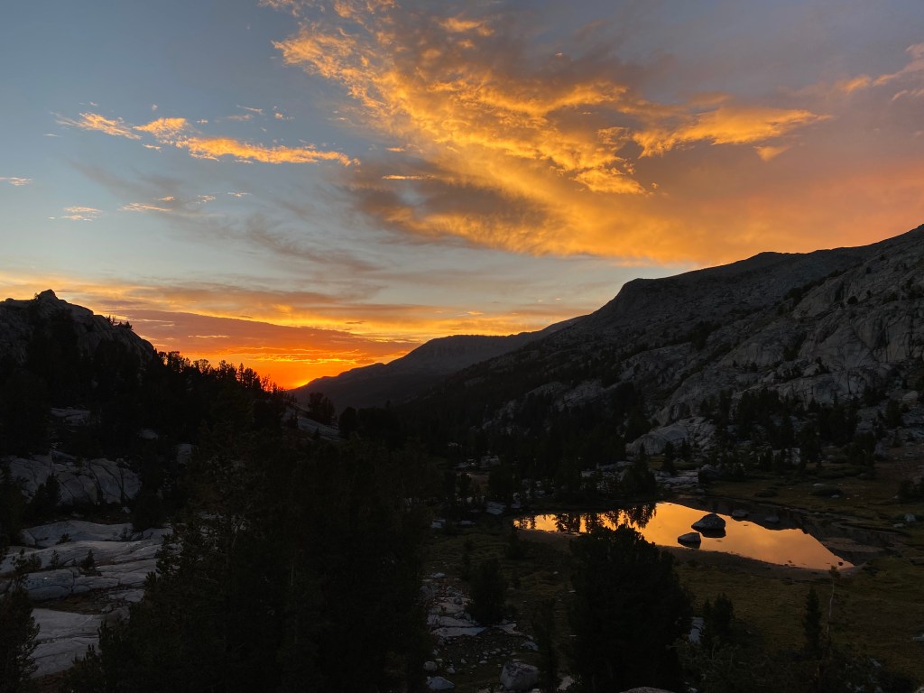
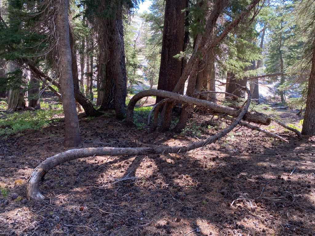
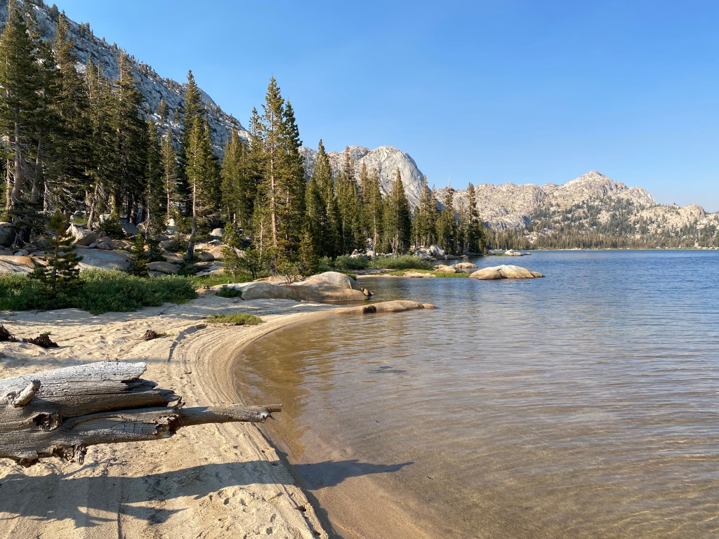
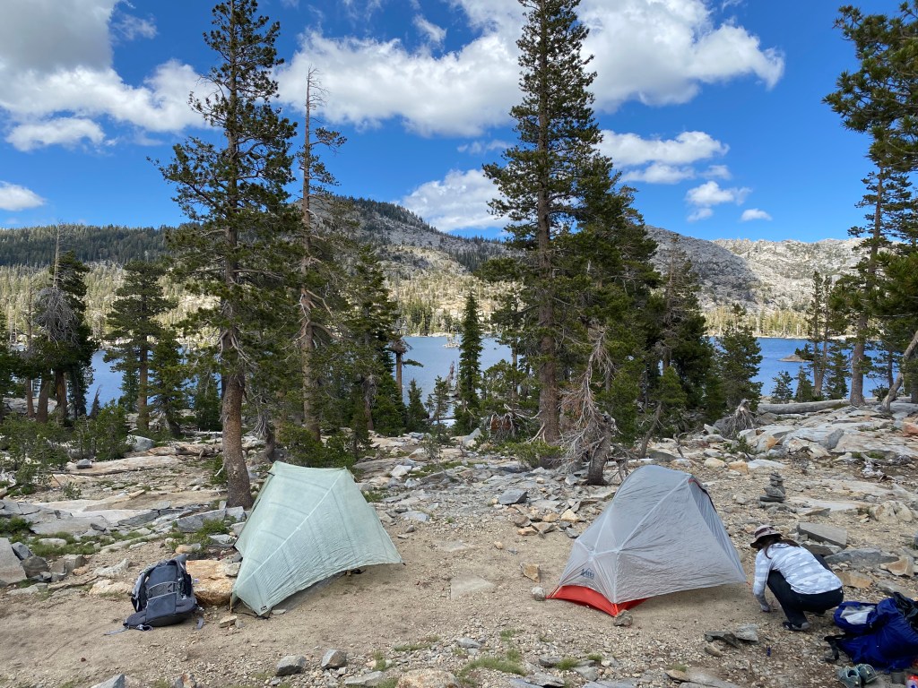
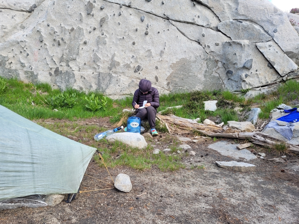
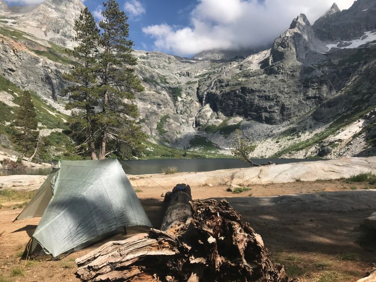
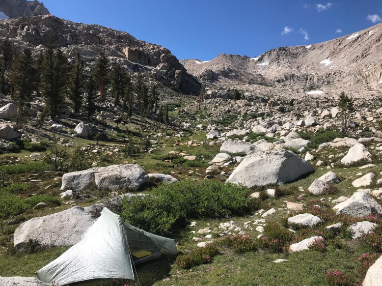
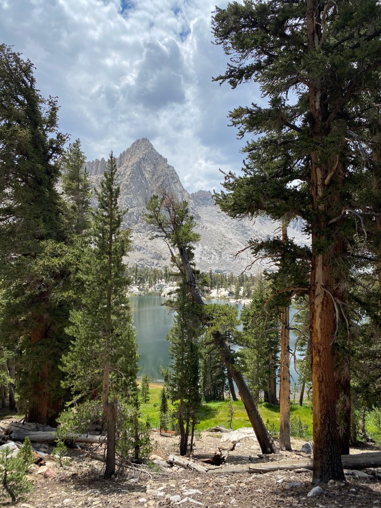
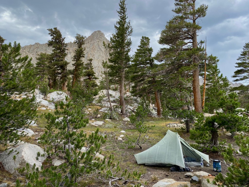
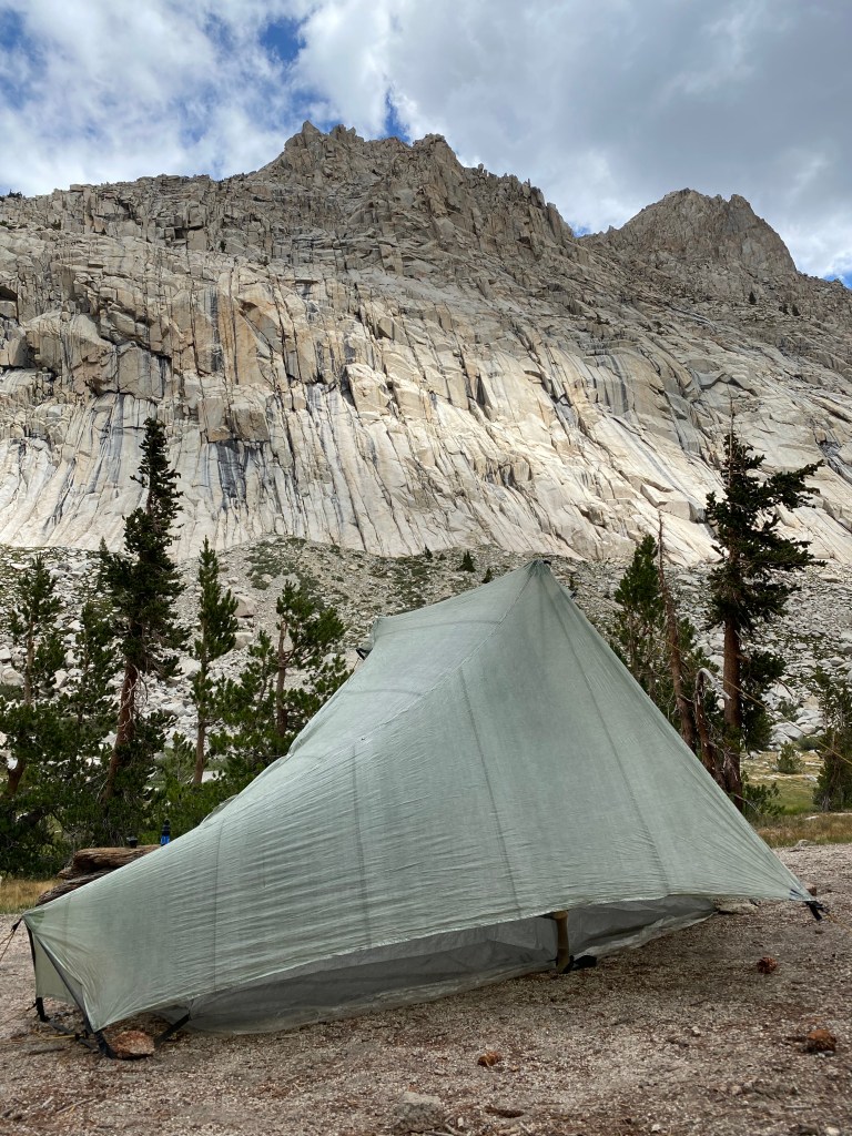
I arrived at the campsites near Pinto Lake by mid afternoon. One of the downsides of such rugged terrain is that there are few options for camping. This means that hikers tend to end up congregating in these flat areas, so solitude can be hard to come by. Not so on this night at Pinto Lake. I had the place to myself! What a treat.
Day 2: Pinto Lake to Big Five Lakes
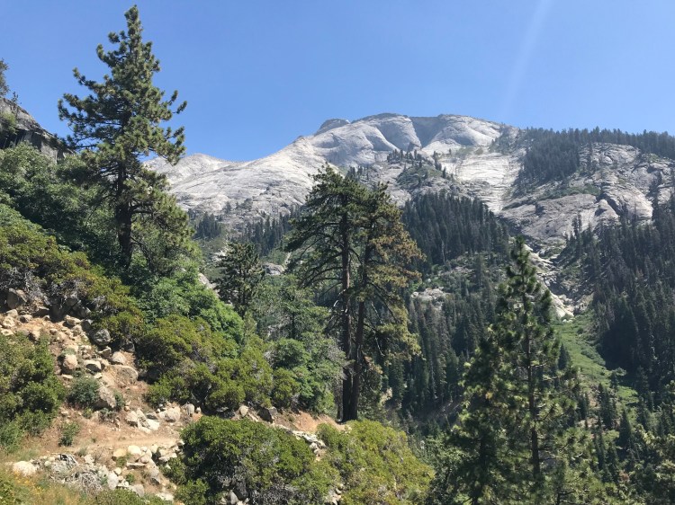
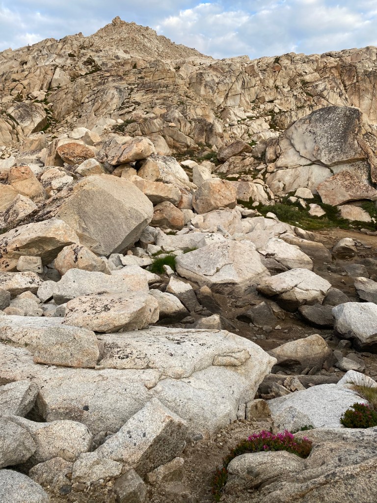
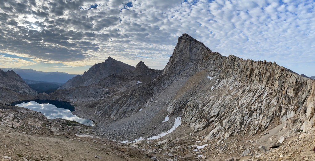
The morning, again, started with a stiff climb — possibly the steepest terrain I had ever encountered. From Pinto Lake, my task was to get to Black Rock Pass, three miles ahead, but 3,000 feet higher. One thousand feet of elevation per one mile is pretty damn tough. My usual pace of 2.5 miles per hour slowed to 1 mile per hour. But I didn’t mind, because this was my view.
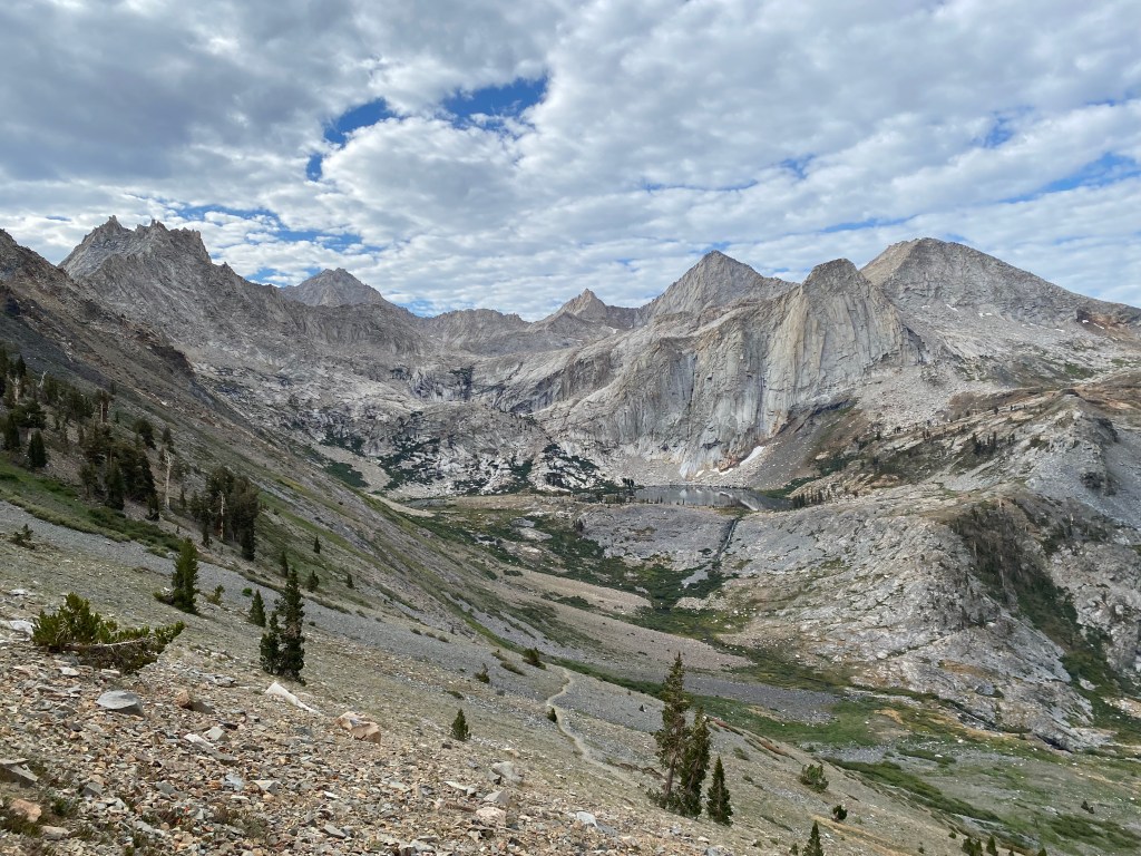
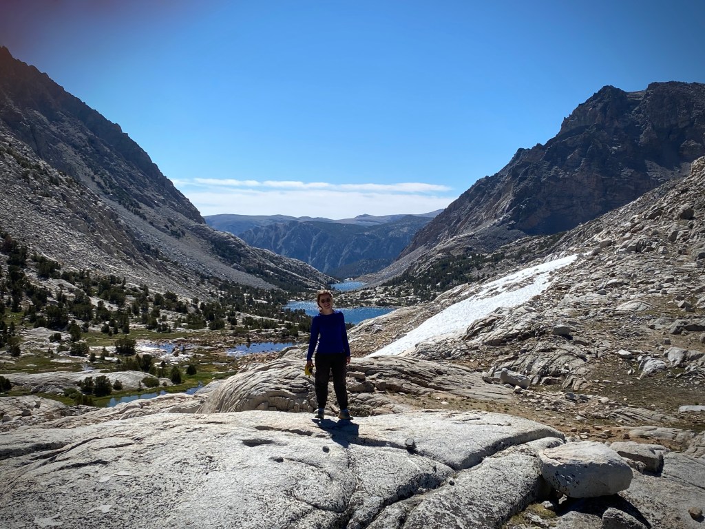
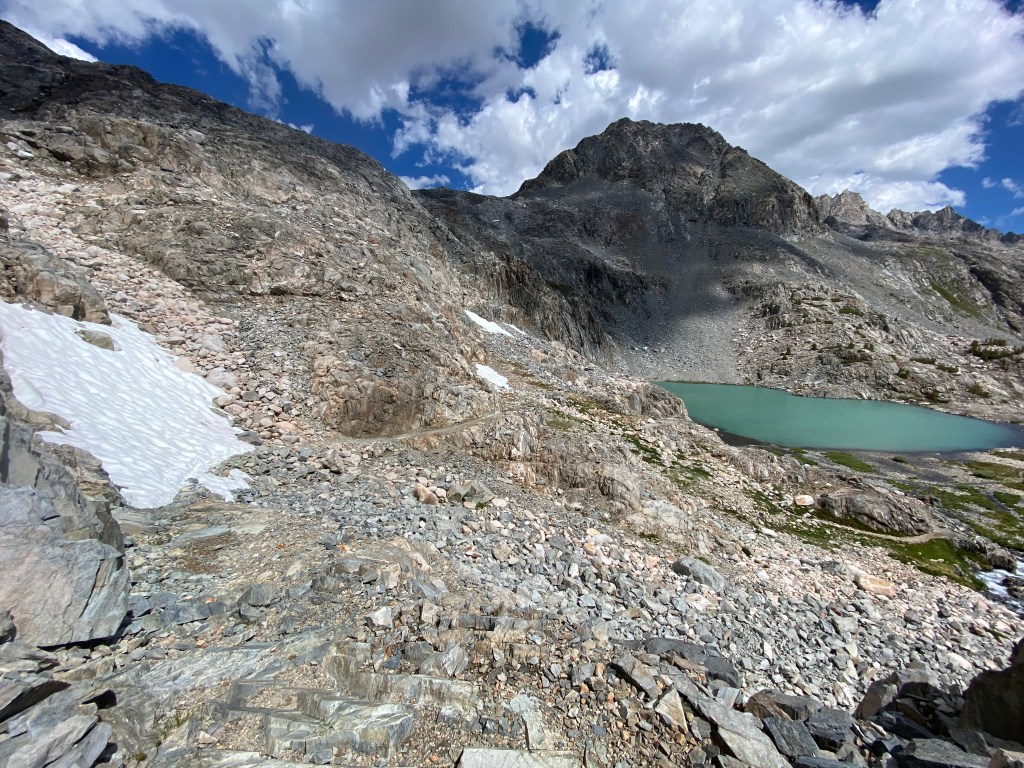
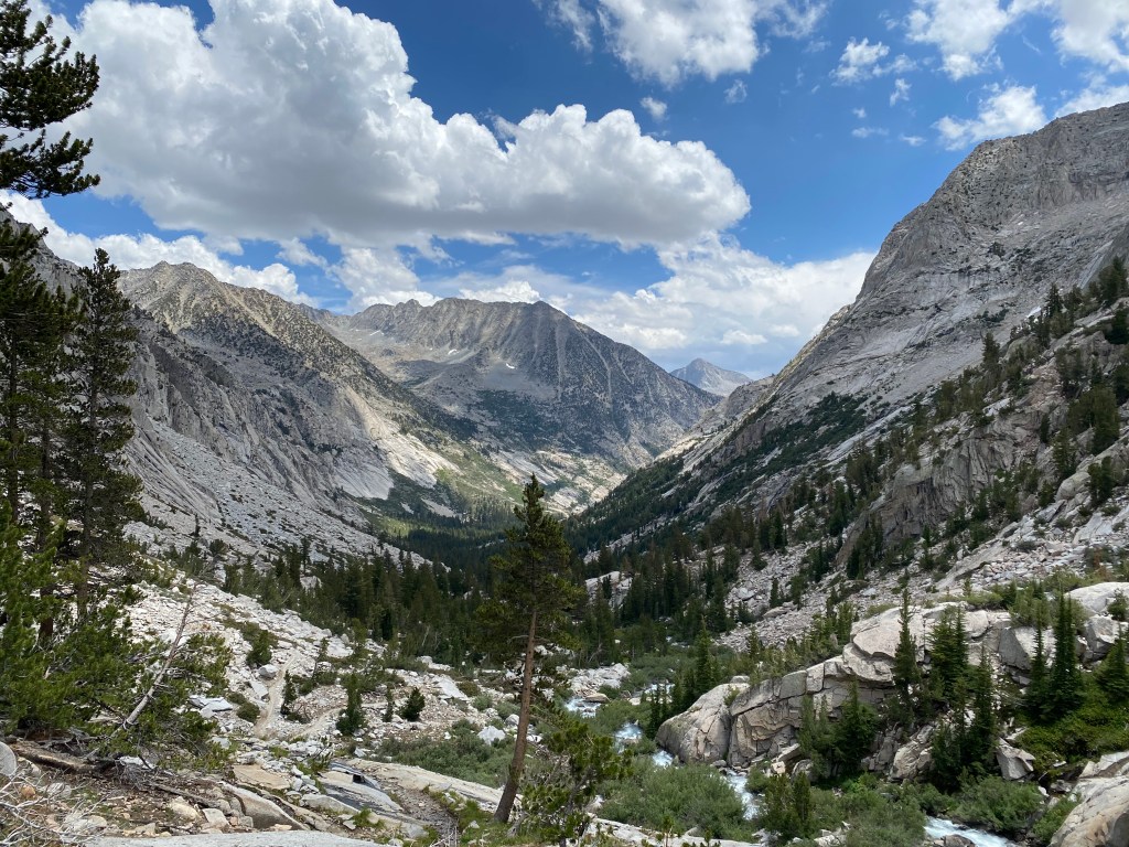
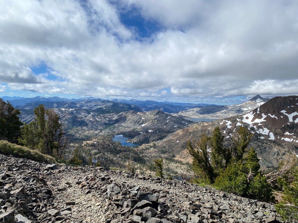
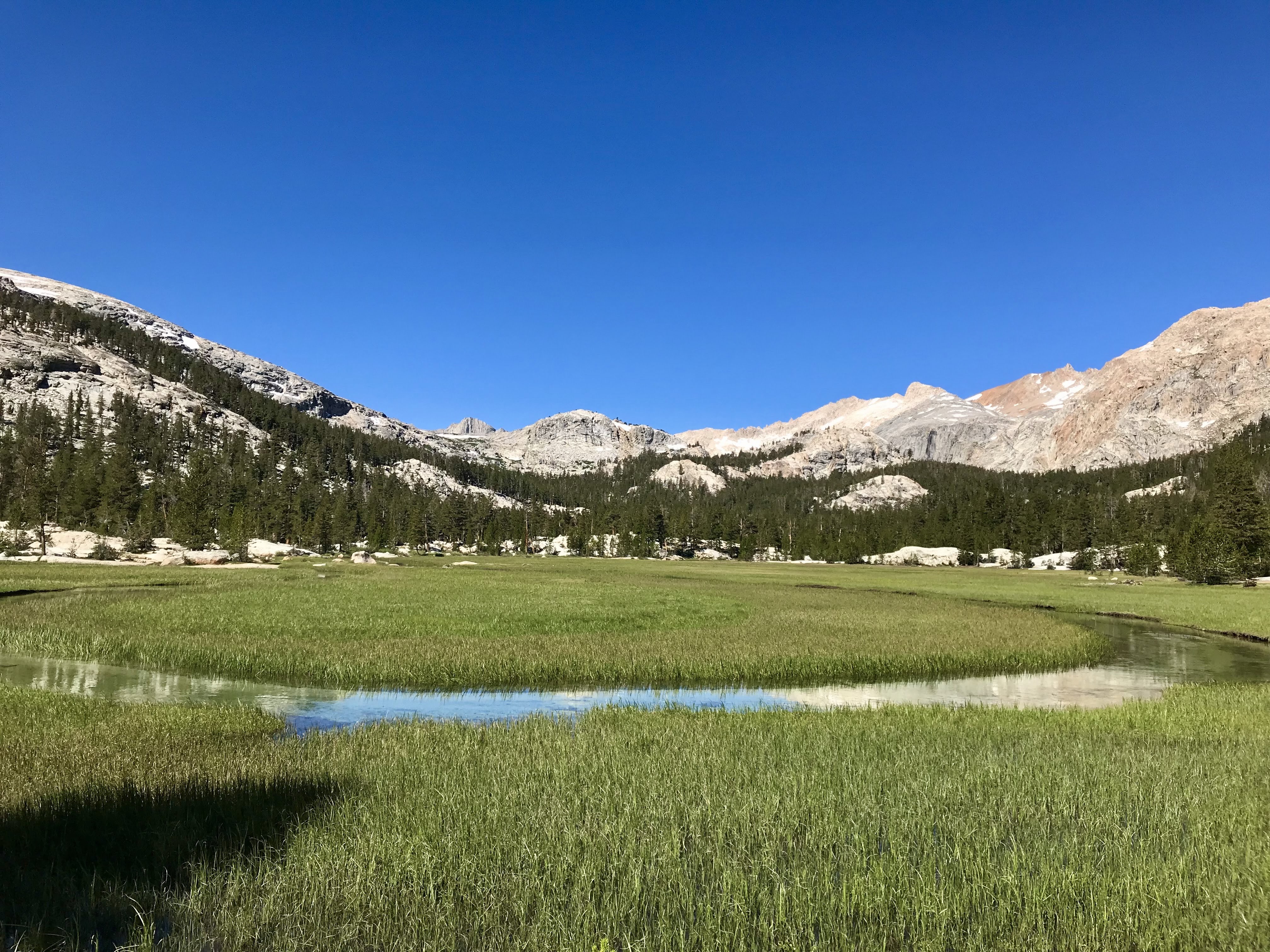
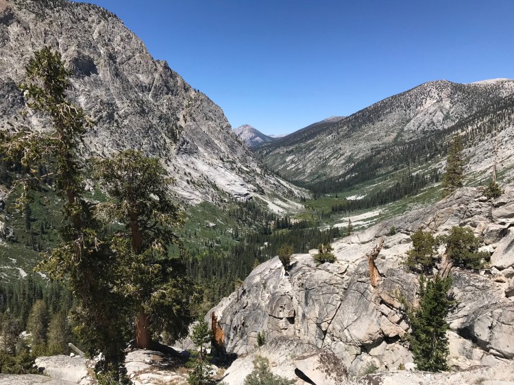
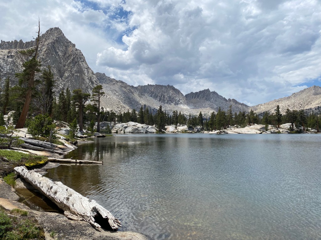
From Black Rock Pass, the views to the east previewed the rest of my day. I would drop back down, cross the meadow, pass a couple lakes, and then take the spur trail into the Big Five Lakes basin.
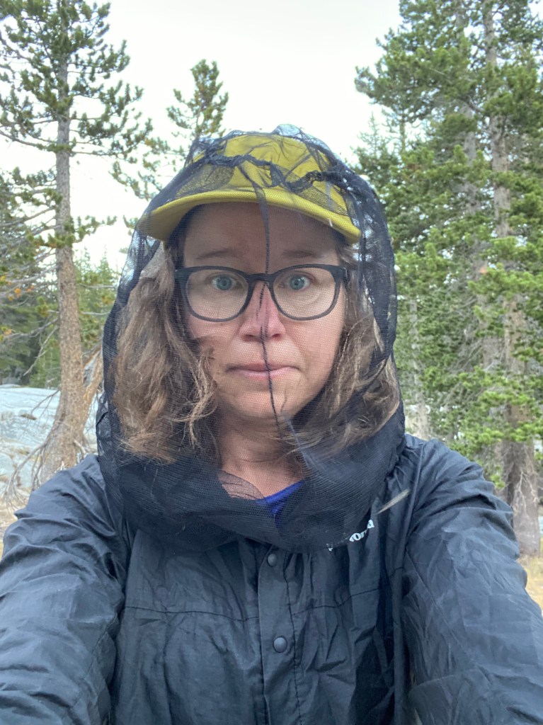
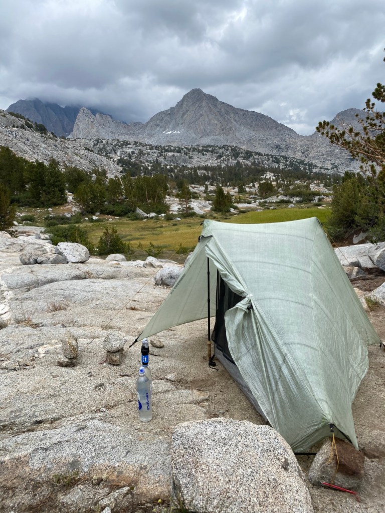
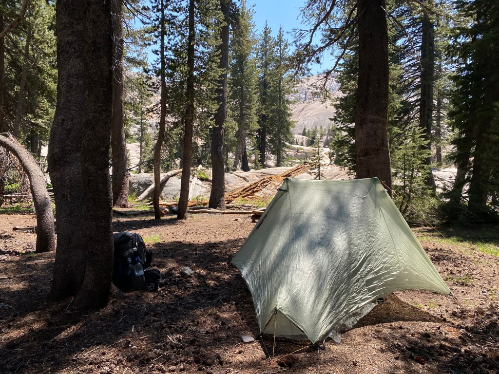
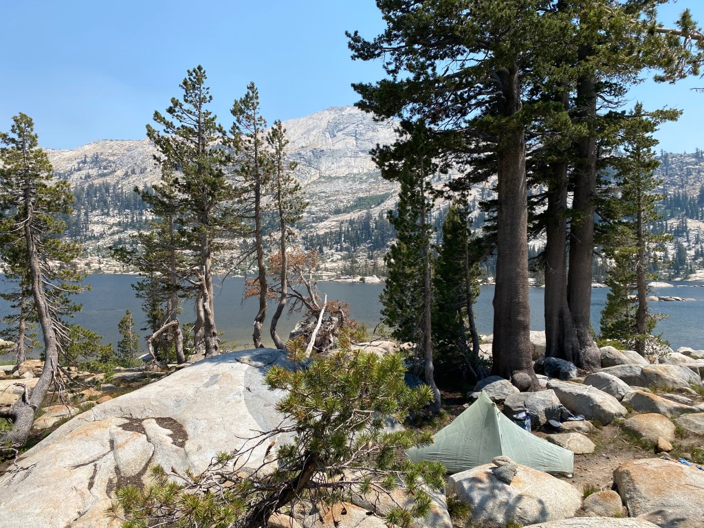
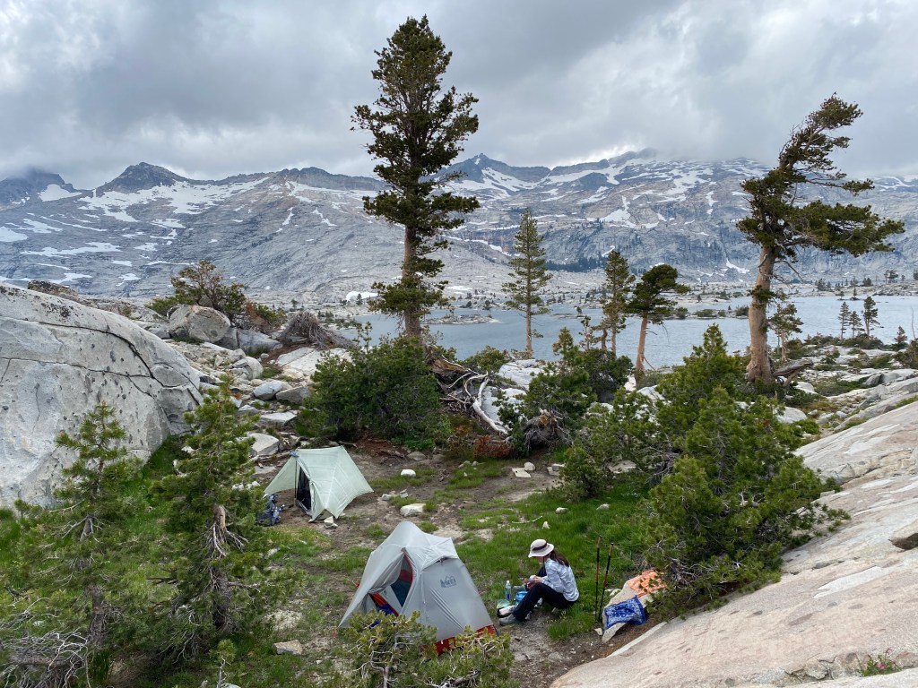
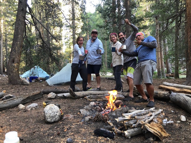
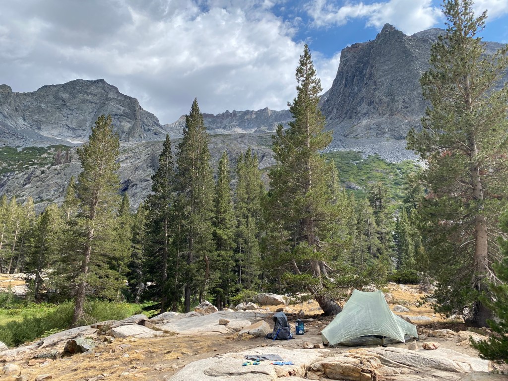
I found another too-good-to-be-true campsite, but soon enough my solitude was disrupted by a rowdy group that set up camp far closer to me than they needed to and proceeded to cackle and shout into the evening. Etiquette, for those that don’t know, would be giving others a wide berth and not carrying on as though you were at a crowded bar (read my favorite LNT principle here).
Anyway.
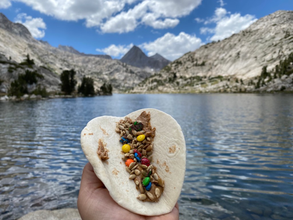
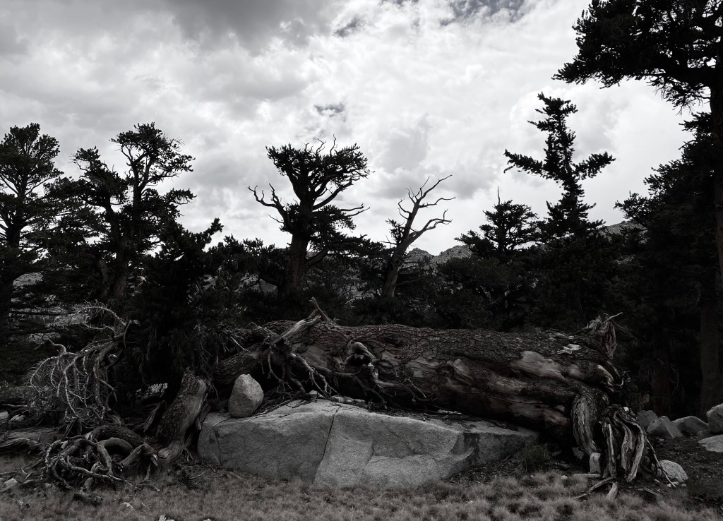
I spent some time exploring the granite outcroppings between the lakes before tucking into my tent for the night.
Day 3: Big Five Lakes to Upper Lost Canyon
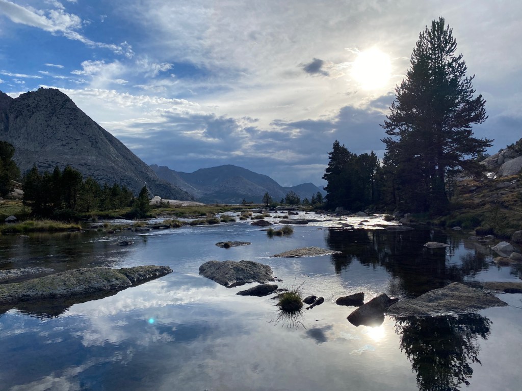
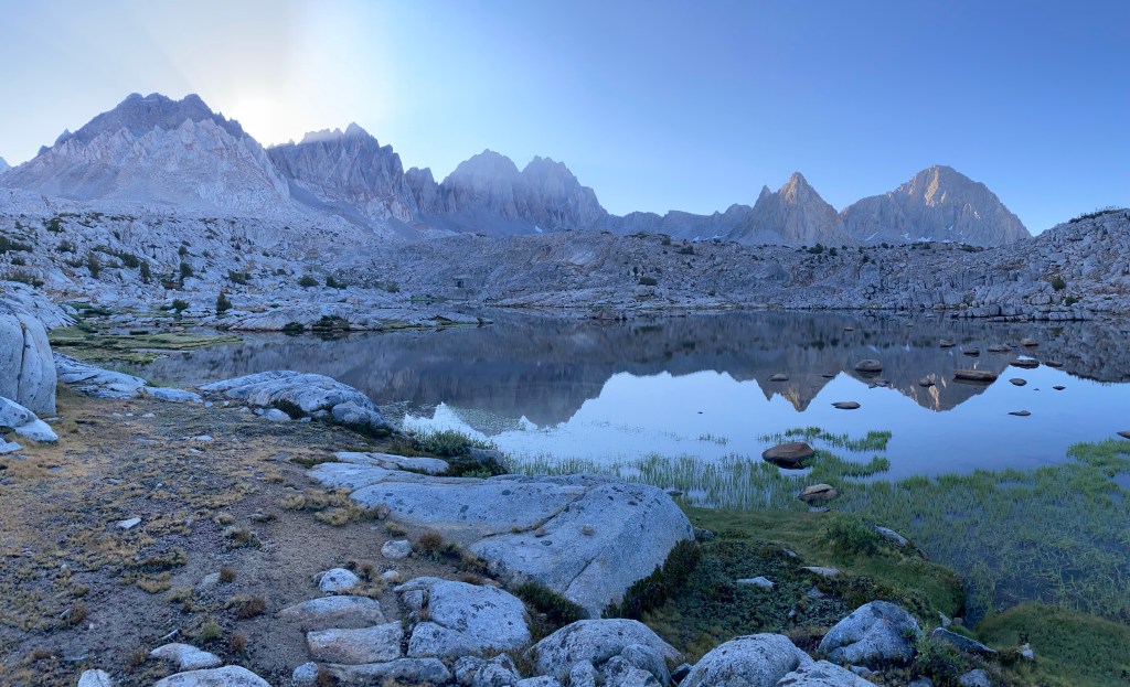
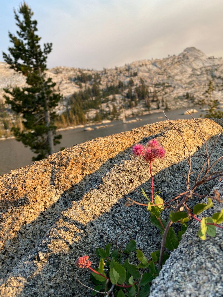
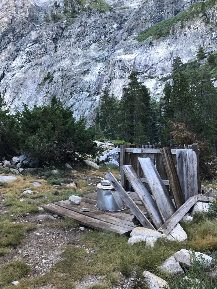
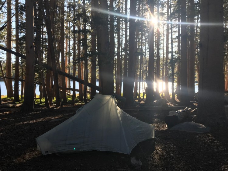
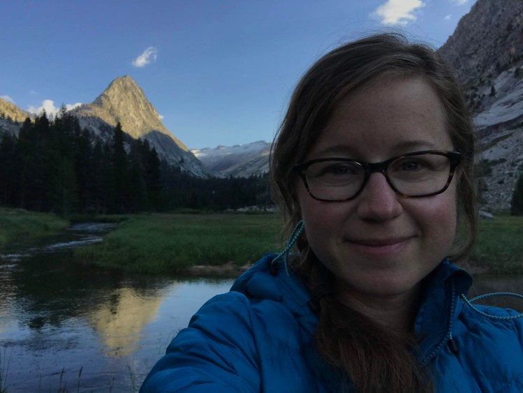
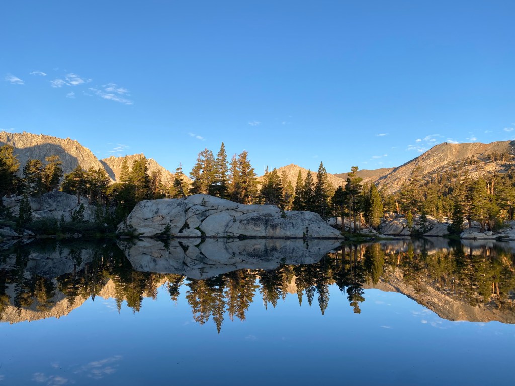
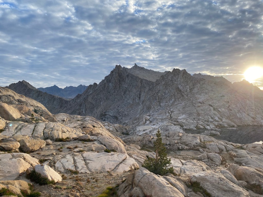
Today would be a short one, getting me in position to climb up to Sawtooth Pass. I enjoyed the morning light at my campsite before continuing on.
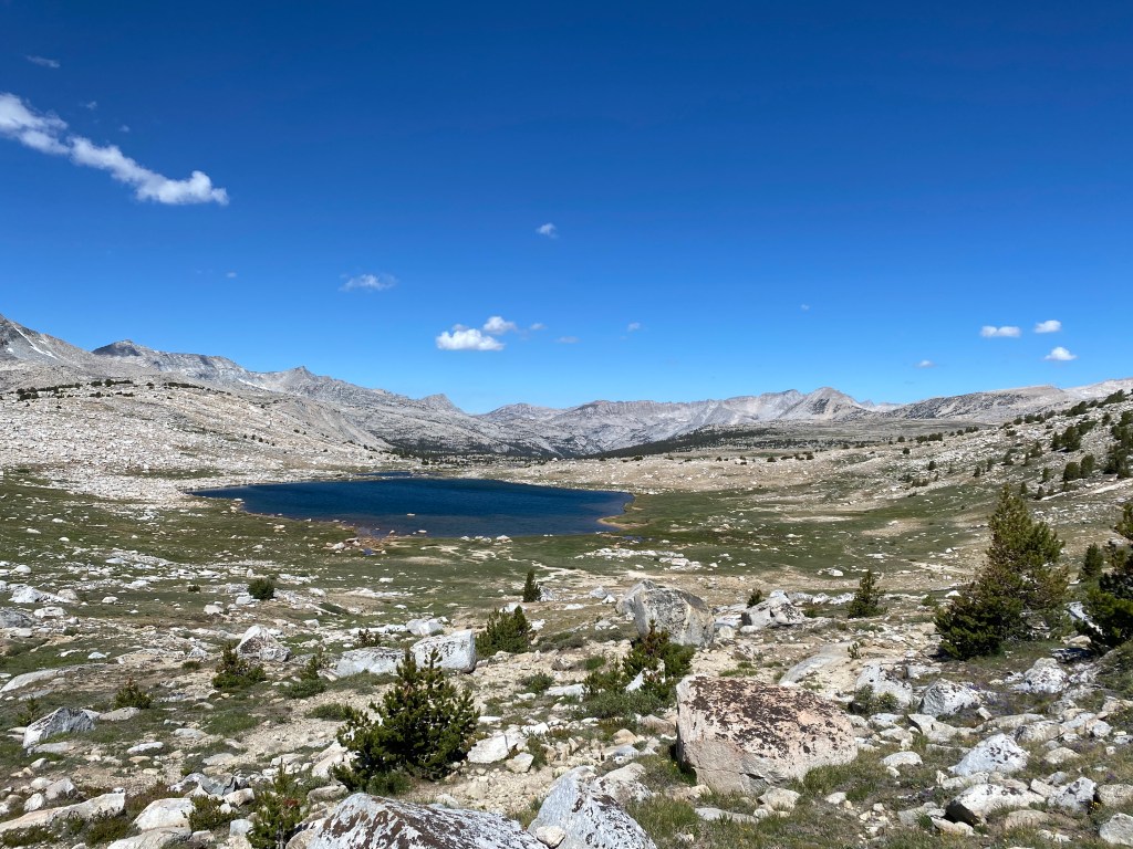
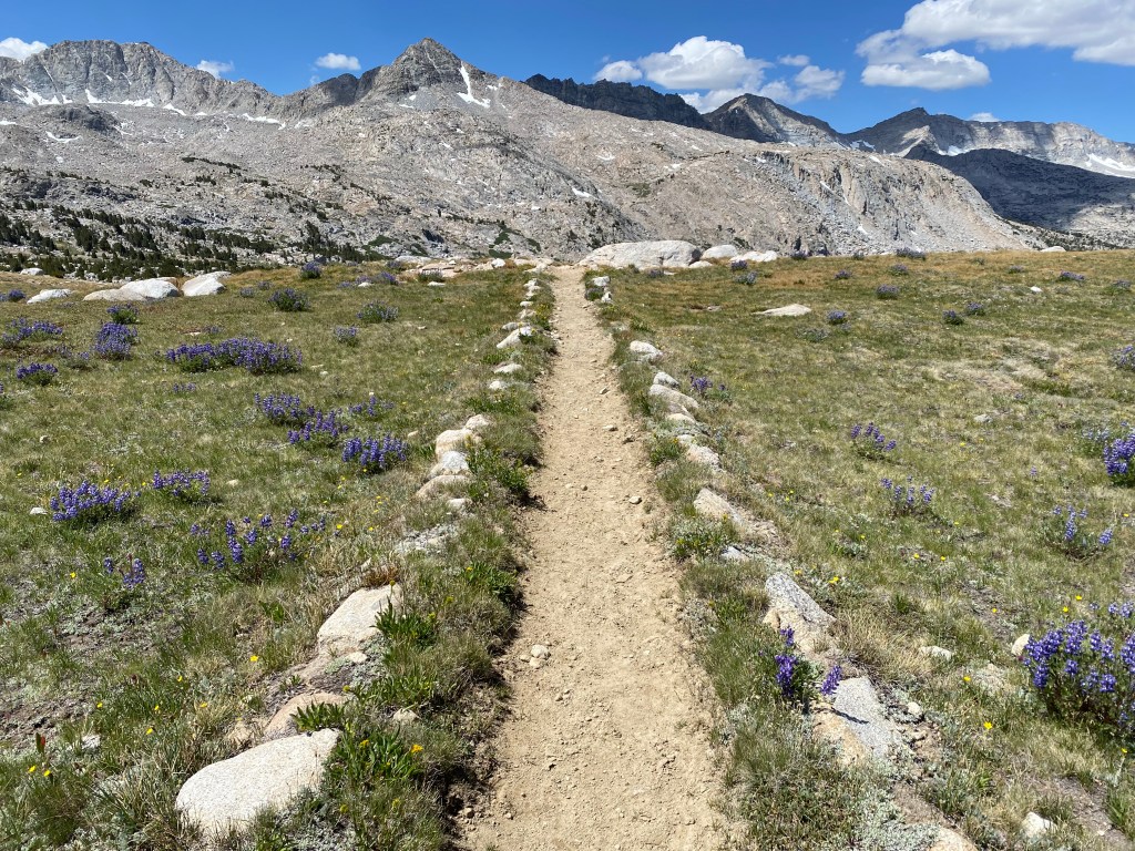
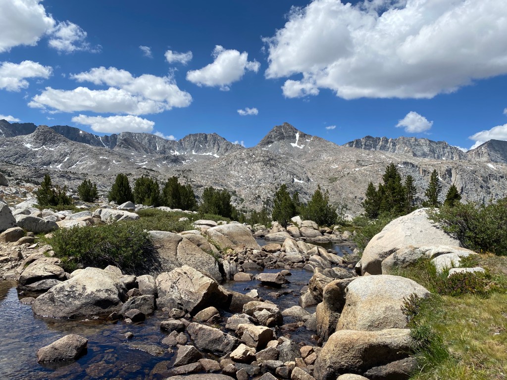
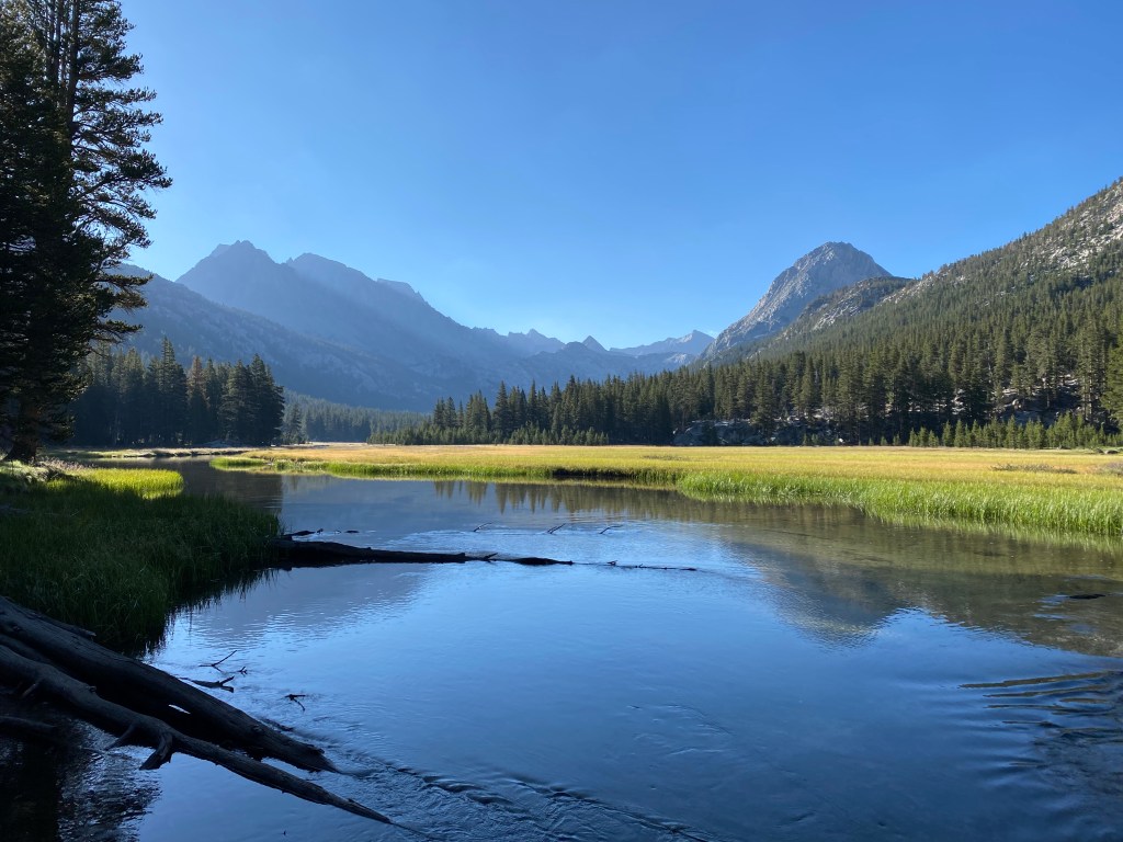
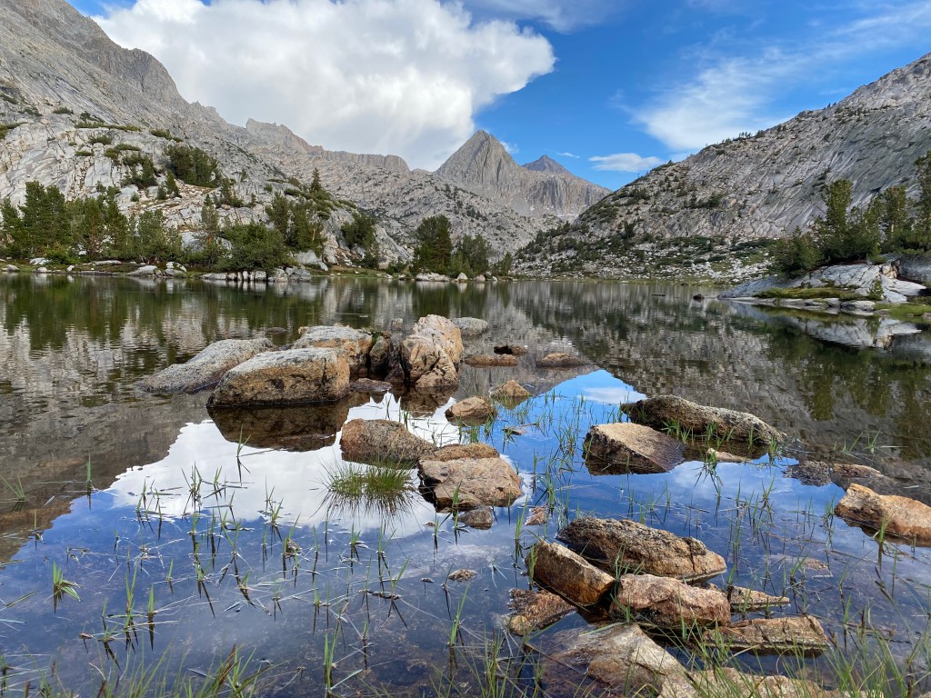
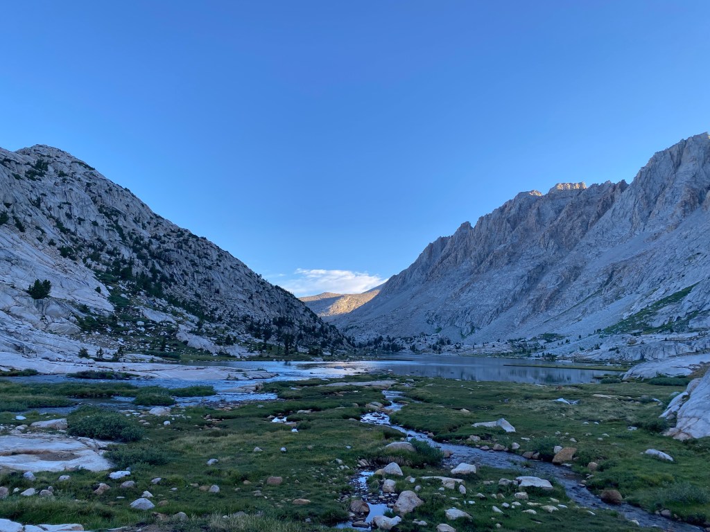
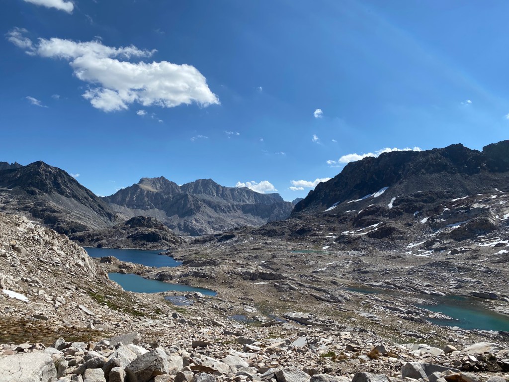
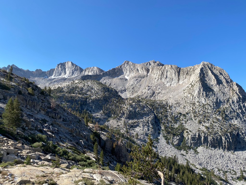
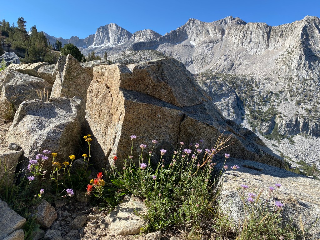
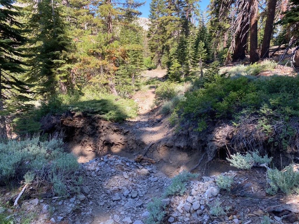
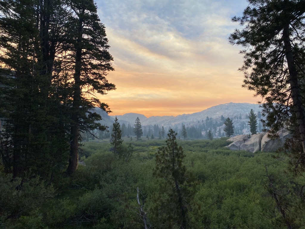
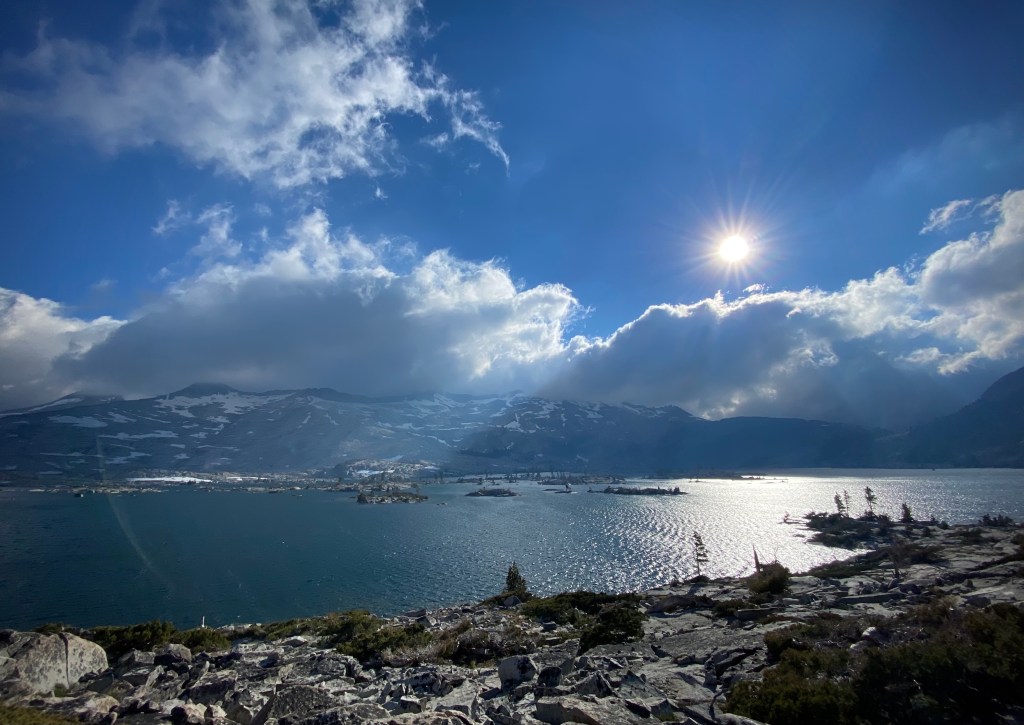
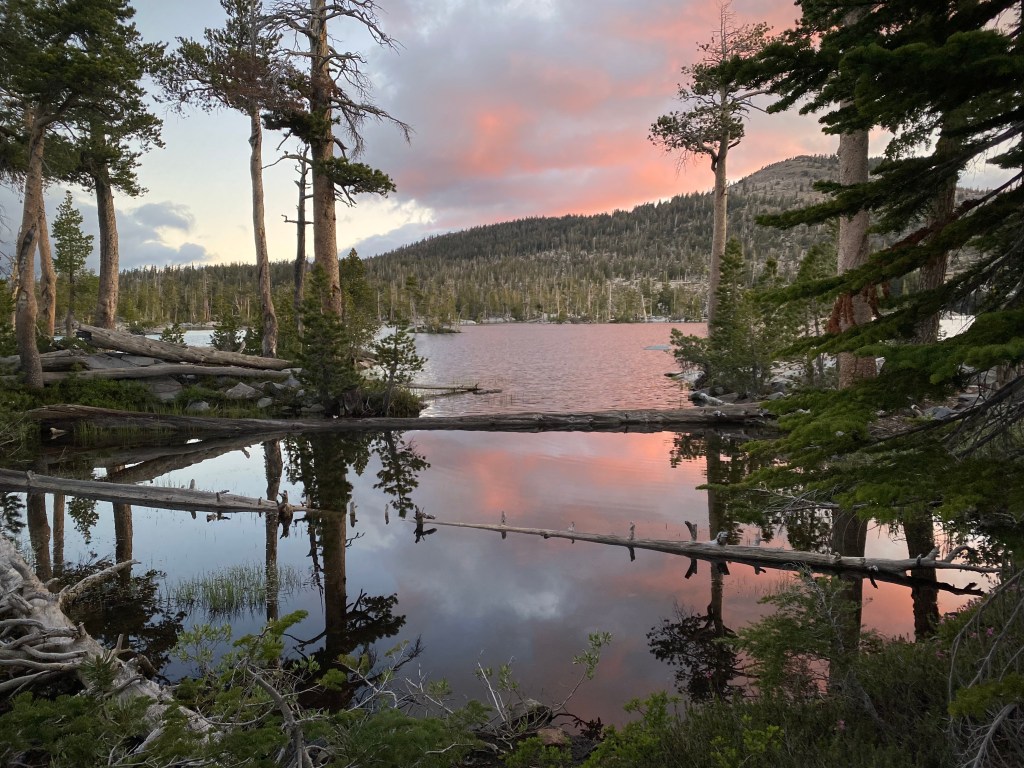
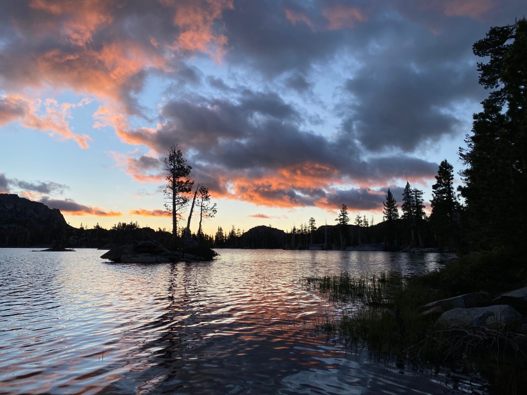
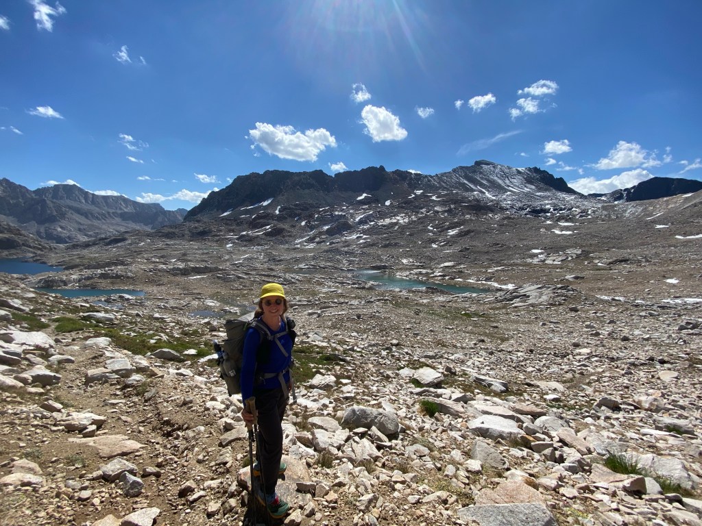
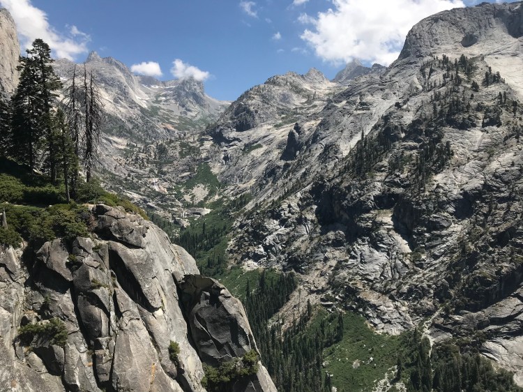
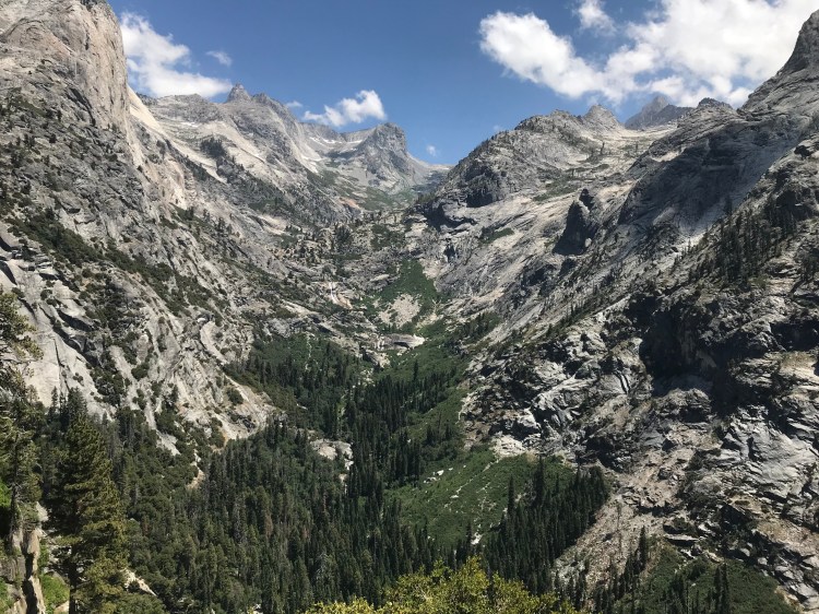
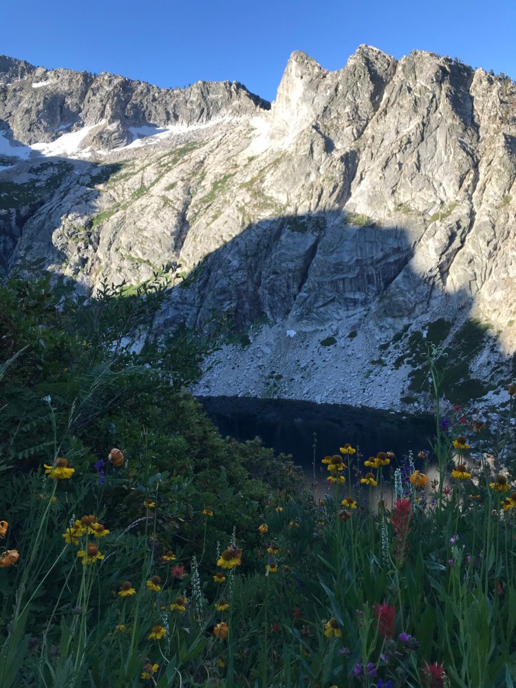
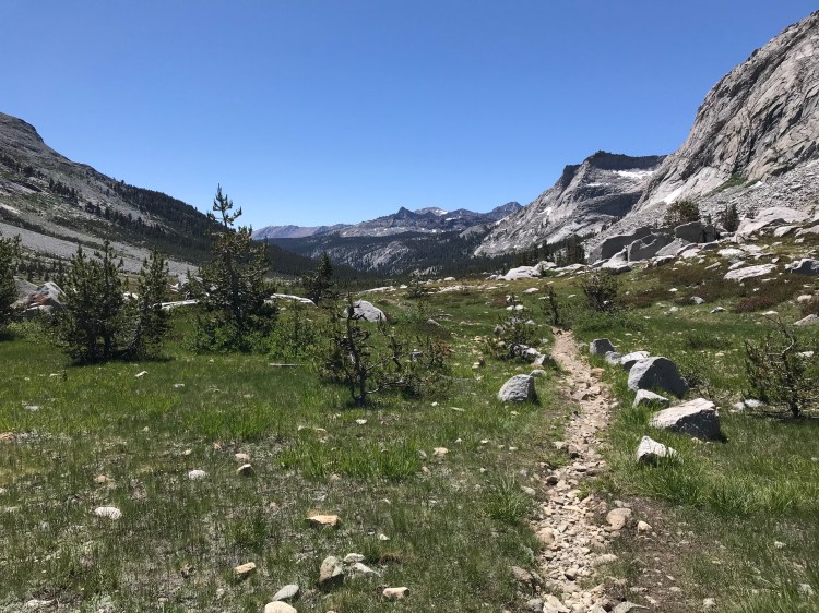
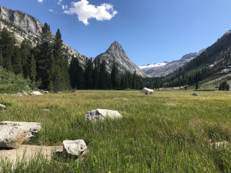
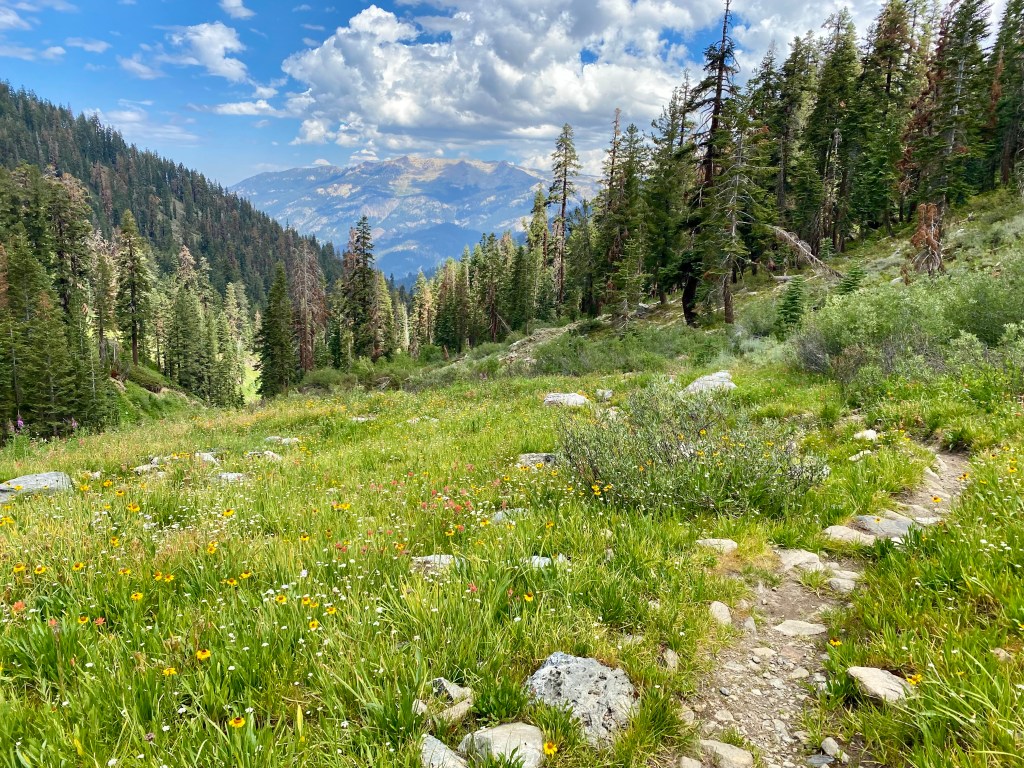
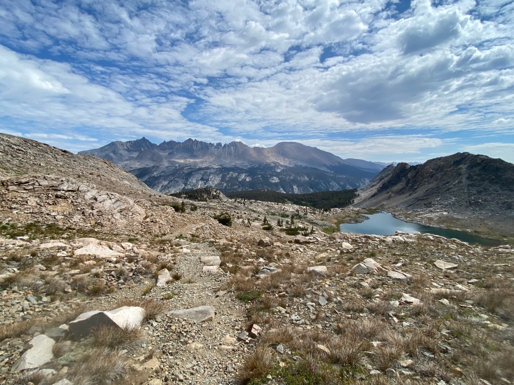
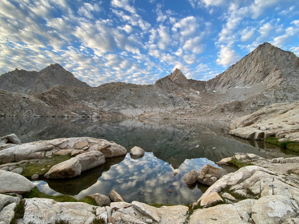
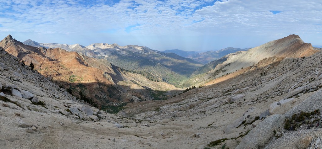
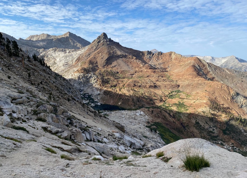
After a fairly uneventful morning spent below tree line, I emerged into Upper Lost Canyon and was happy to have a long afternoon taking in these incredible views.
Day 4: Upper Lost Canyon to Sawtooth Trailhead
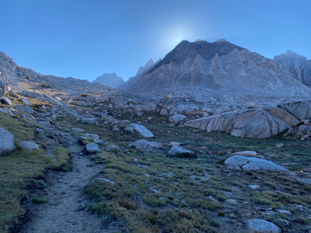
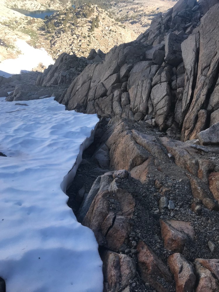
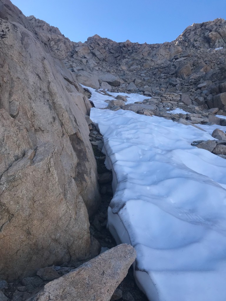
I awoke around 4:00 am for a predawn start. The trail up to Sawtooth Pass would be relatively steep, with the last section being more of a scramble than anything. That wasn’t a problem, but I was concerned about the descent on the other side of the pass, and I wanted to give myself plenty of time to navigate it before the possibility of afternoon thunderstorms. Getting caught in a storm at that elevation is not a good thing.
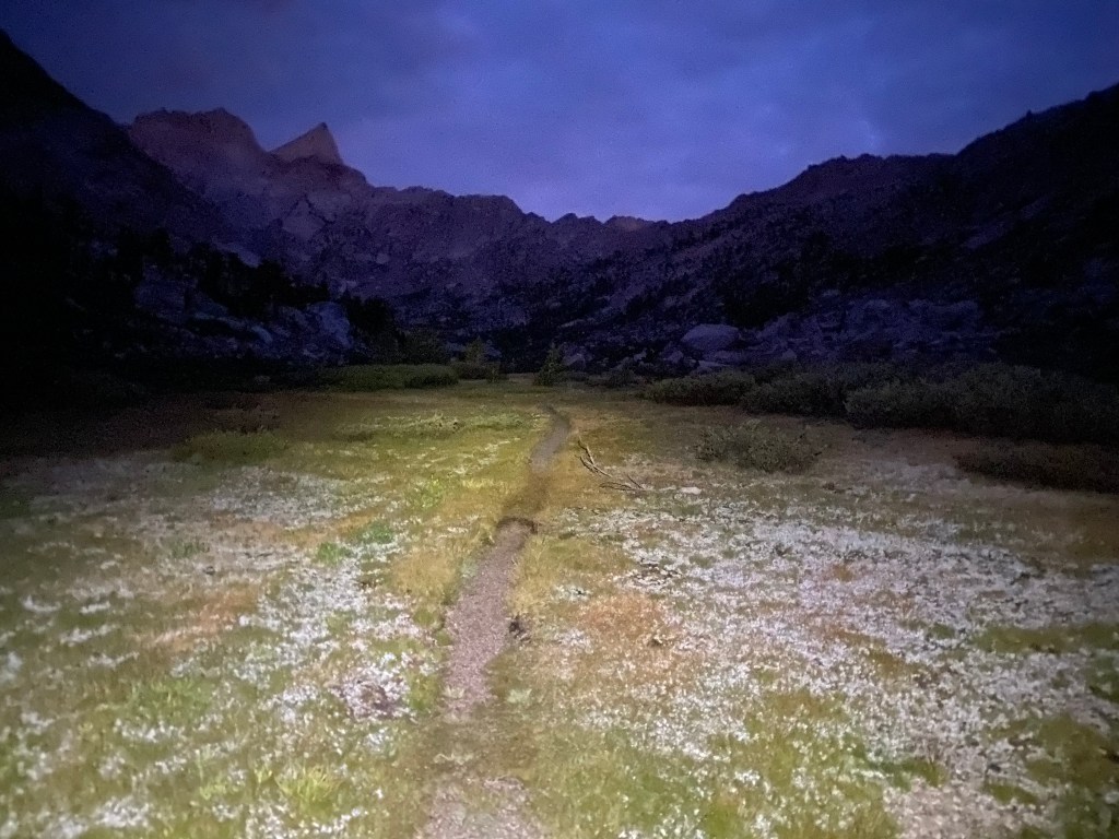
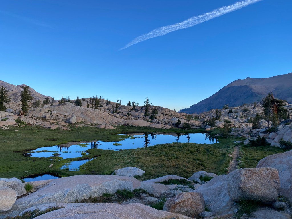
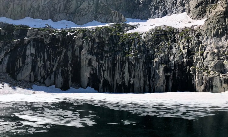
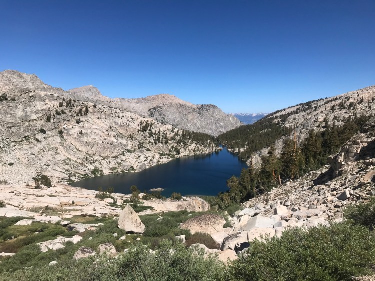
With my headlamp on, I walked to the end of Upper Lost Canyon and began the set of switchbacks that would take me to Columbine Lake.
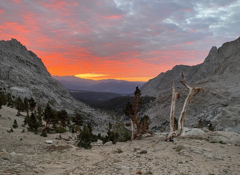
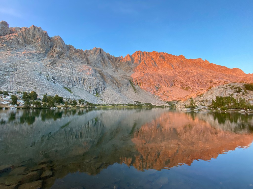
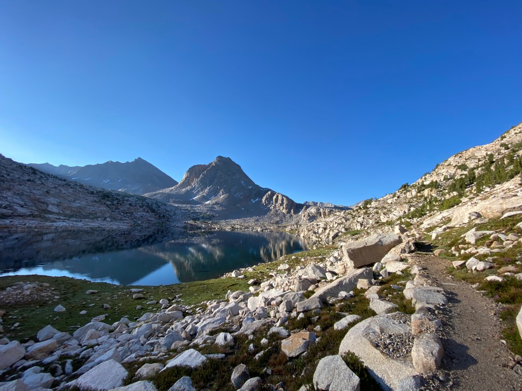
I arrived just as the sun began to illuminate the mountains.
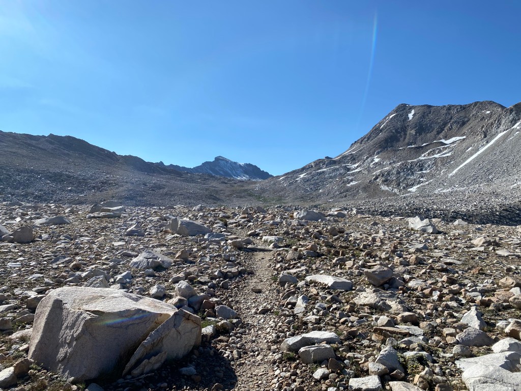
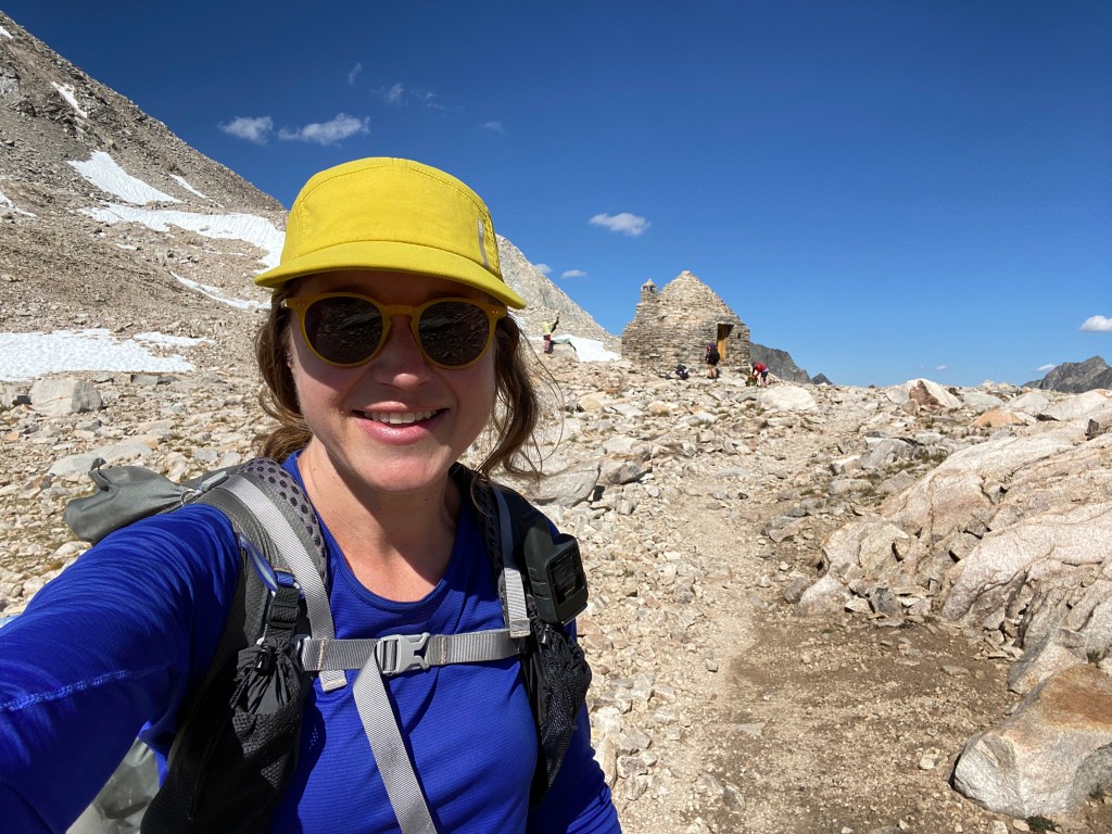
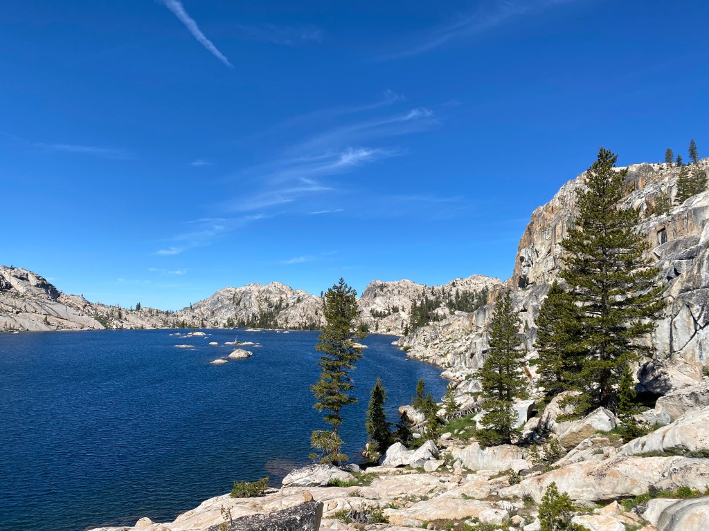
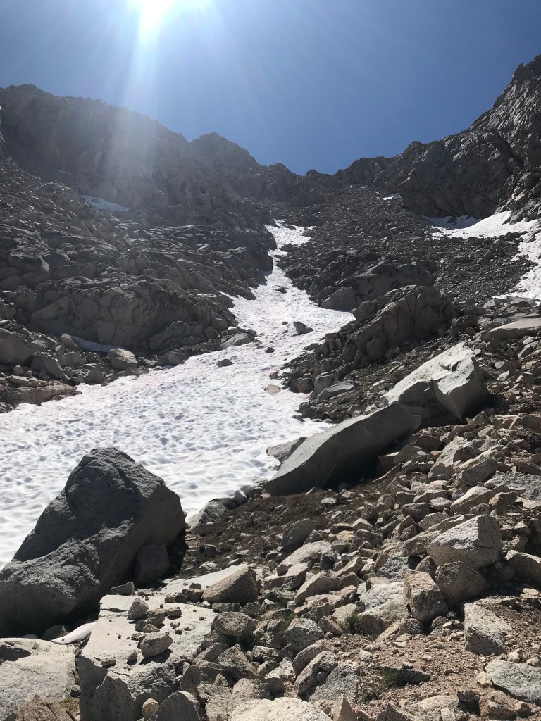
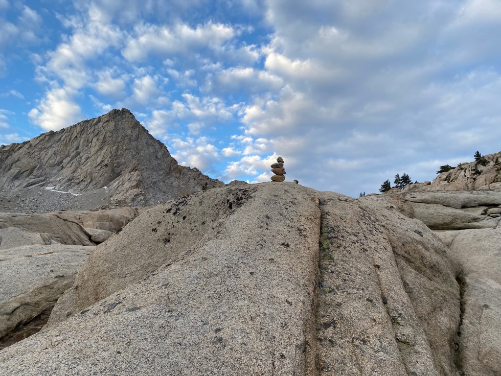
From Columbine Lake, the trail wraps around the shore line and is replaced by a series of cairns marking the way to the pass. Scrambling like this is a ton of fun, and with ever improving views behind me, I was giddy with joy.
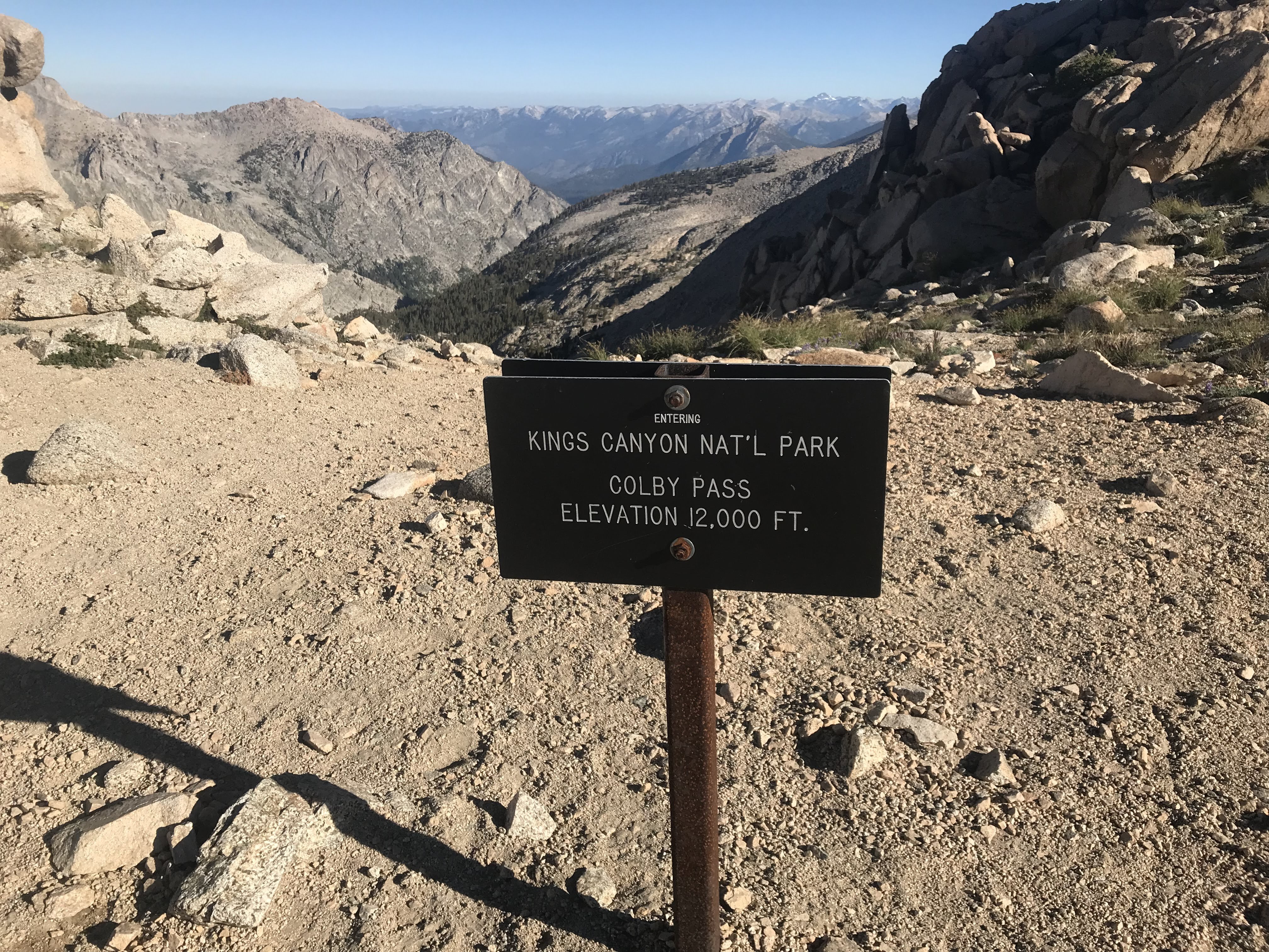
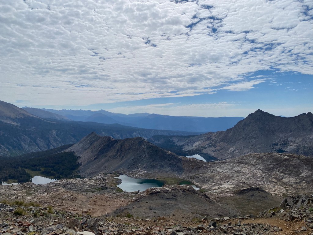
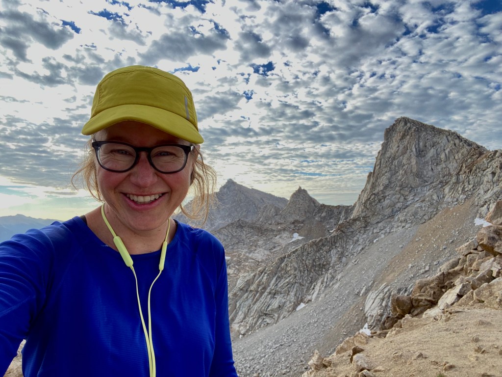
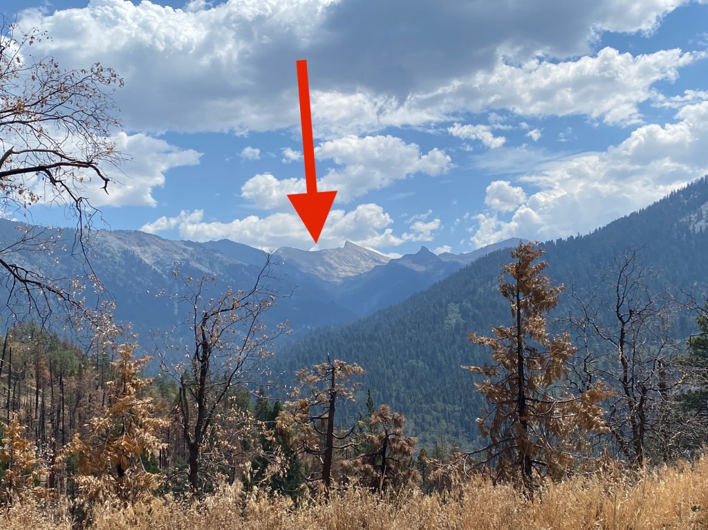
From Sawtooth Pass, I could look to my right at Sawtooth Peak, and then east, across the entire Sierra Nevada range, to Mt. Whitney, which I had summited in 2018.
It was incredible and one of my happiest moments ever in the backcountry. It was also my last day in the Sierra Nevada, after a full month of exploring mountains that stole my heart in 2010 and continue to call me back year after year. After today, I would have to say “good bye” once again.
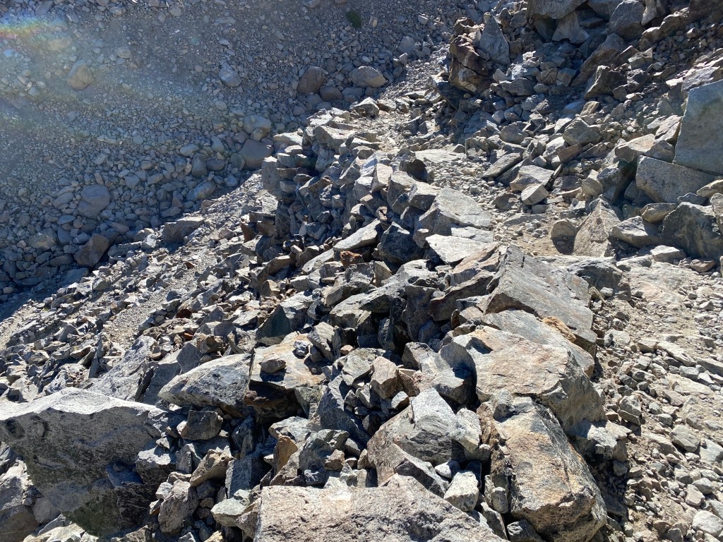
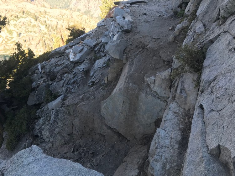
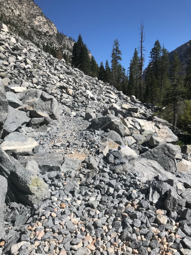
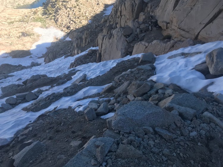
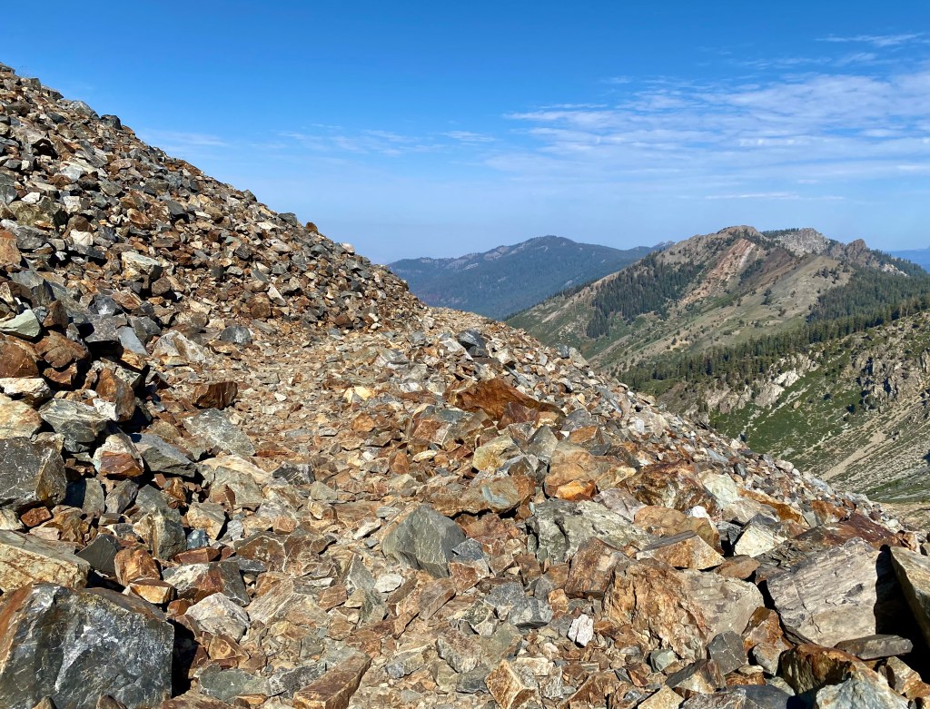
After soaking in the bittersweet moment, it was time to tackle the descent from Sawtooth Pass. The thing is, there is no trail down. It’s just… sand. The ranger had advised me to traverse the ridge to Glacier Pass and descend from there. She had advised me not to “scree ski” — which is essentially sliding down the sandy slop in one’s shoes — calling it “just silly.” In other words, not so safe.
“Yes, scree skiing is very silly,” I had responded.
But as I looked across the ridge at Glacier Pass, well, it looked kinda far. It also looked like it would require a lot of careful work, picking my way across the rocks.
I looked down at the sandy slope. It stretched for maybe a mile, at which point I could see the trail resume. In the sand, I could see faint evidence of those who skied down before me. It looked like… fun! And not that dangerous.
So I scree skied.
And it WAS fun. And fast! And, I mean, maybe a little dangerous. But journey I thought would take hours took less than one, and soon enough I was back on a defined trail heading to Monarch Lake.
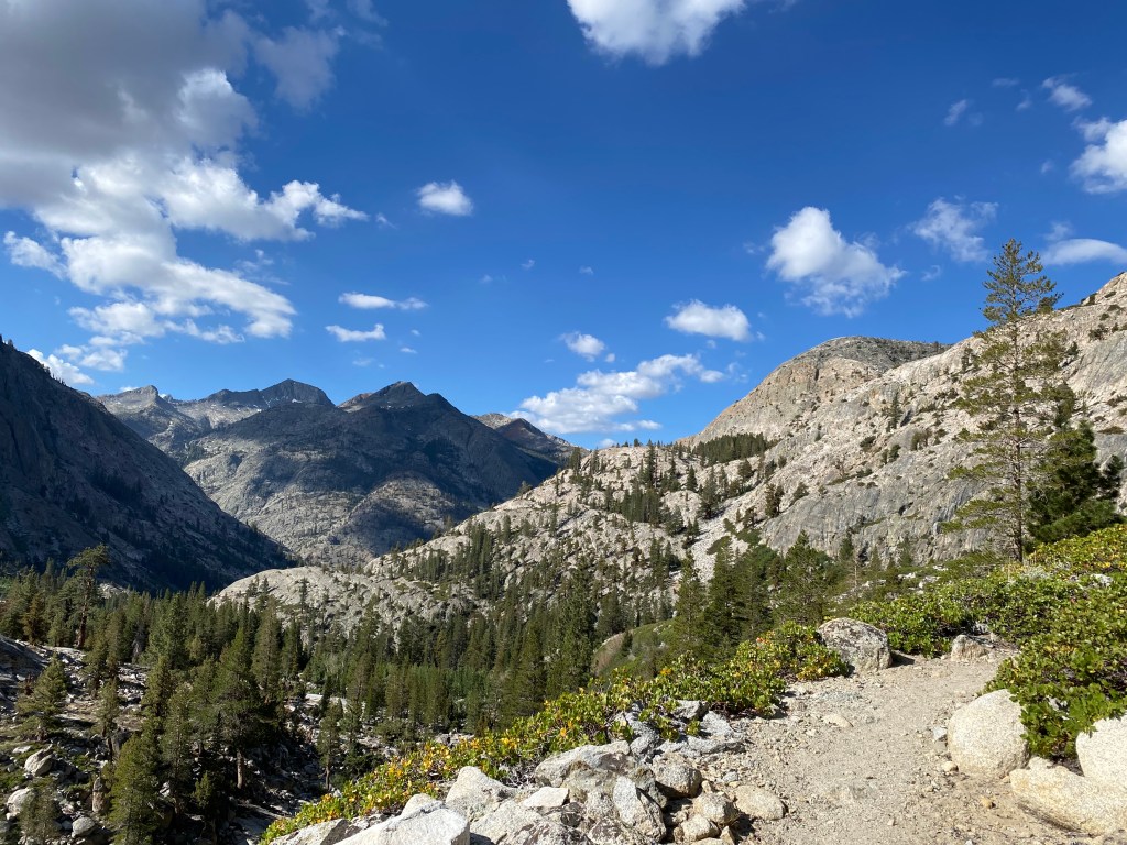
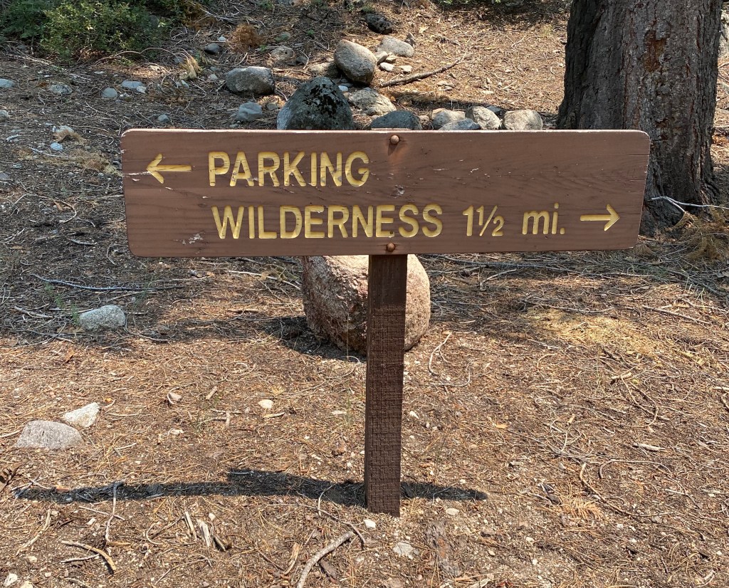
From there, the day hikers appeared, signifying the end of wilderness and the inevitable return to civilization. I walked a nicely maintained ridge-line trail, delighting in the gentle grade, to the switchbacks that would return me to the trailhead.
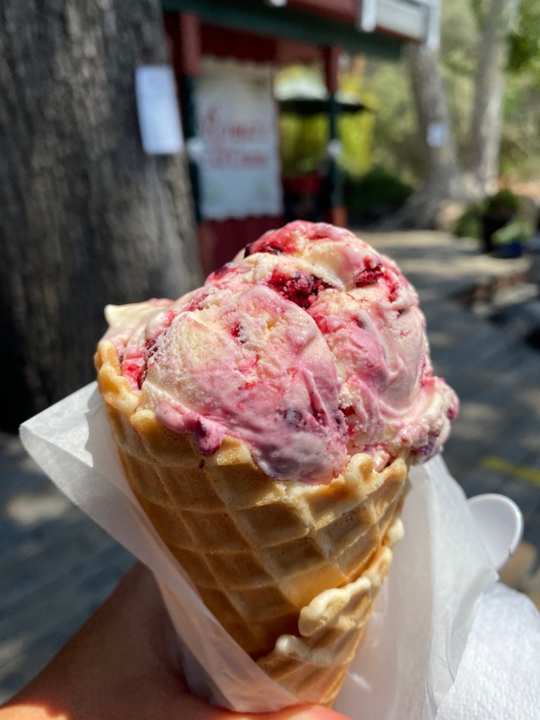
I celebrated in Three Rivers with the world’s best sandwich from Sierra Subs and Salad followed by the world’s best ice cream from Reimer’s Candy and Gifts, thanks to a trip from a Visalia local I met on the trail.
Tomorrow I would return to Sacramento and then fly to Denver. After 170 miles on foot, I would say “good bye” to the Sierra. But, my adventure would continue on Colorado’s 160-mile Collegiate Loop, and I was excited to see what would lie ahead.