Summer 2022, Part 3: July 14 to 20
Read Part 1 and Part 2)
The third leg of my Summer 2022 backpacking adventure brought me back to one of my favorite stretches of the John Muir Trail: Muir Pass and Evolution Valley. To access this area, I headed south on Highway 395, which runs parallel to the Sierra Nevada range, passing by the ghost town of Bodie, Mono Lake, Whoa Nellie Deli, the eastern entrance of Yosemite, Mammoth Lakes, and June Lake. And that’s just a few of the great stops along this scenic route, and the reason it is one of my favorite areas to visit.
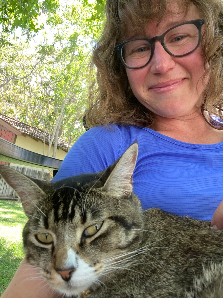
After a quick visit to the town of Lee Vining and a very smokey Yosemite, I continued on to the town of Bishop, where I stayed at the Eastside Guesthouse and Bivy before and after my trip. Lodging in Bishop is pretty subpar, but this place became an instant favorite. A cross between a hostel and an inn, it has private rooms and dorm style rooms, along with a common area with a kitchen and indoor/outdoor seating. Plus, it’s next door to Eric Schatz’s Bakery. And they have a cat.
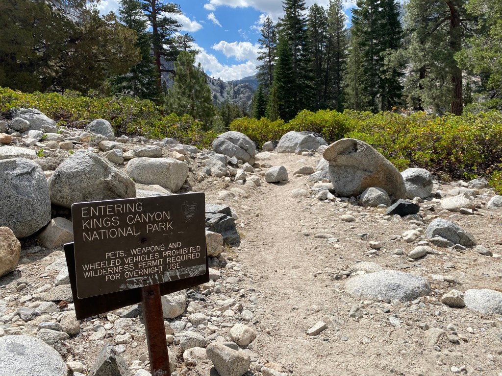
My permit allowed me to enter at the Piute Pass trailhead. From there, I connected with the JMT southbound, and then exited over Bishop Pass, for a 55-mile solo trip over 6 days.
This required a bit of logistics that will probably only interest readers who are considering this route. Feel free to skip this paragraph if you’re here for other reasons. I first drove up to the North Lake campground to claim a walk-up campsite. This would give me easy access to the Piute Pass trailhead the next morning. Note that the last two miles of this road are unpaved and steeply uphill. I set up camp and then drove about 30 minutes to South Lake, and I parked my car at the overnight parking area at the Bishop Pass trailhead, where I would end my hike. I then took the Eastern Sierra Transit Association’s Bishop Creek Shuttle back to the North Lake junction. It runs twice a day so timing is key, and parking is limited, so plan accordingly. The shuttle doesn’t go to the campground–it drops hikers off at the turnoff to North Lake. So I expected to have walk from the junction back to the campground along that steep, hot, and unpaved road, but hurrah! I met two women on the shuttle who happily agreed to give me a ride back. These logistics took most of the day but as a solo female it was better than having to count on a hitch.
Now the the fun could begin!
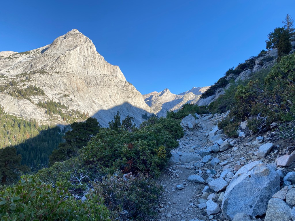
Day 1: Piute Pass Trailhead to just before Hutchinson Meadow
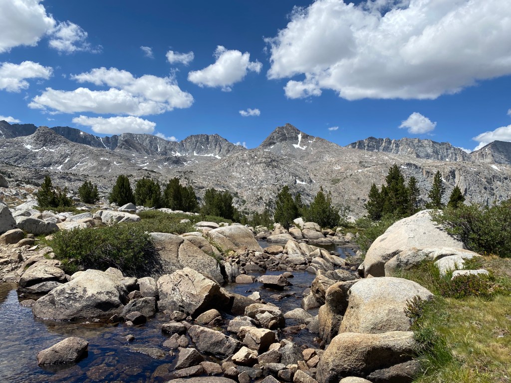
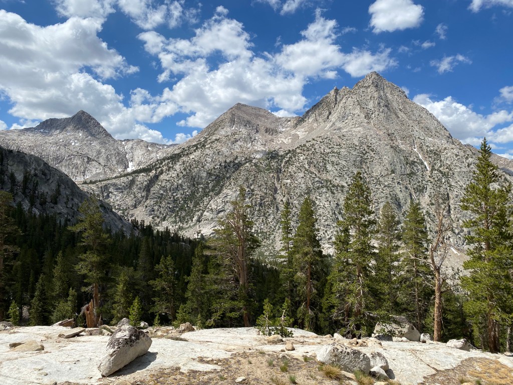
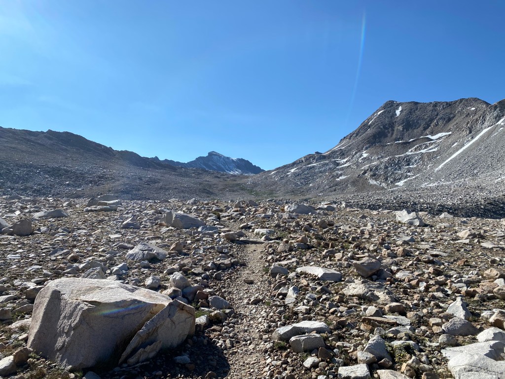
I woke early at the North Lake Campground and started out along the Piute Pass trail. After a bit of steady but gentle climbing below treeline, the scenery began to open up and soon I was atop Piute Pass, enjoying classic Sierra views.
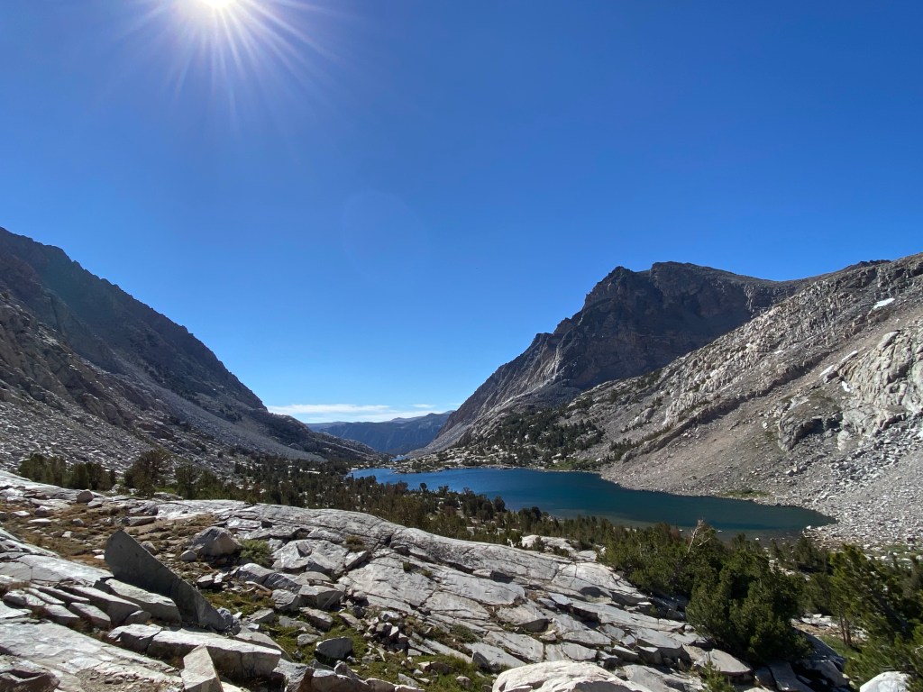
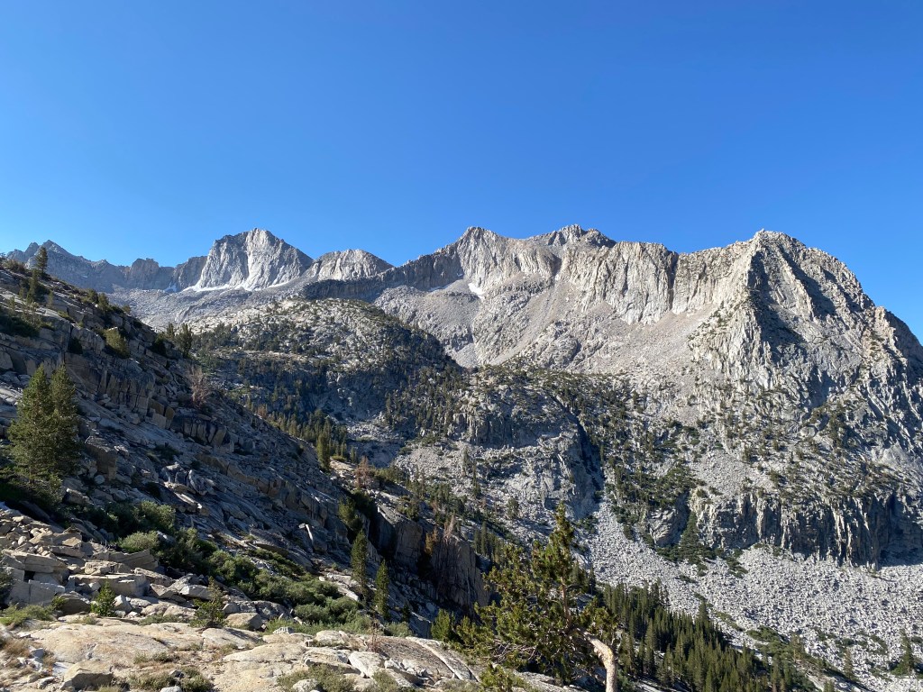
The reward for getting to the pass doesn’t stop there. The descent took me into Humphreys Basin, an expansive area with 360-degree views. Opportunities exist for off-trail exploration here, and I hope to return and do some cross-country travel sometime soon.
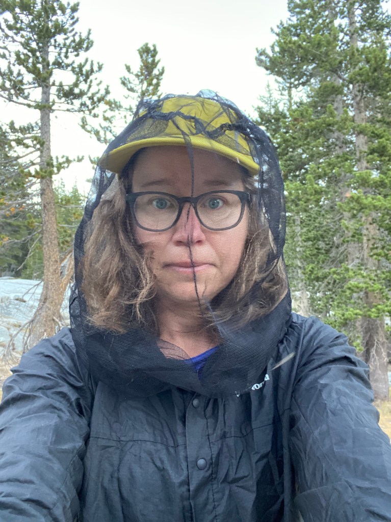
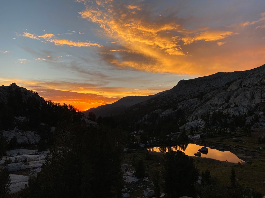
The trail soon descended back below treeline, and the mosquitoes got worse and worse the lower I got. A couple hikers said the bug pressure was pretty terrible at Hutchinson Meadow, so I stopped a couple miles short for the night in an open granite area where I hoped the breeze might keep the mosquitoes at bay. It didn’t.
Day 2: To Evolution Creek
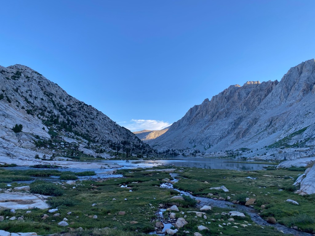
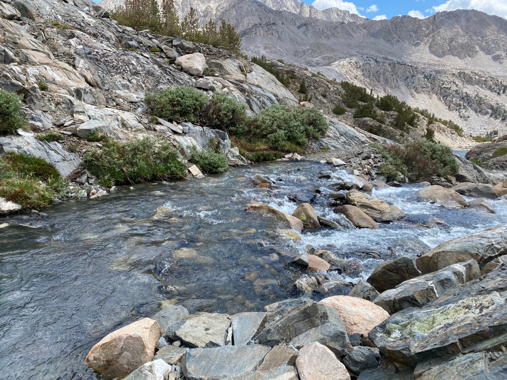
I spent the morning ignoring the buzz of mosquitoes around my head as I continued deeper into the Sierra. Soon, the views returned, and the day heated up as I dropped into Goddard Canyon.
A lot of times, in the Sierra, the trail descends into a valley or canyon just to climb right back out of it. That was the story of today. After a long descent, the trail climbs back up, and my day ended with a steep set of switchbacks and a thigh-deep Evolution Creek crossing.
Day 3: To Evolution Lake
Today would repeat terrain I had covered in 2018 on the JMT, and I couldn’t have been more excited. This stretch is one of the most beautiful on the JMT, crossing through a series of meadows before climbing to Evolution Lake. When I was last here, two vicious storms collided right above me on the trail, and I waited out hail, high winds, and lightning in a hastily pitched on the switchbacks up to the lake. I was hoping for better weather this time around so I could take in the scenery instead of rushing for cover.
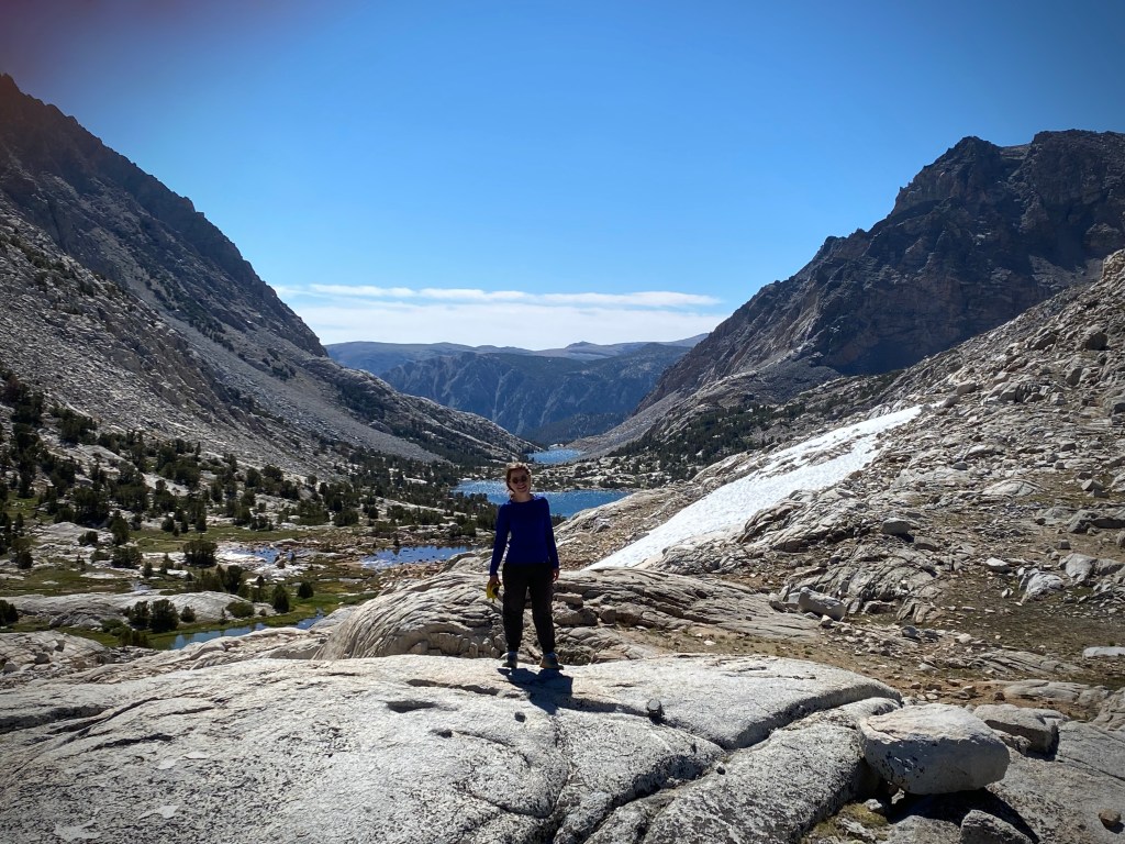
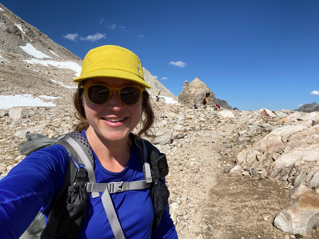
I reached McClure Meadow in the early morning and watched the light change on the mountains as deer foraged at the meadow’s edge. I would soon head up into the mountains in the background of this photo, but I was in no hurry to leave this beautiful scene.
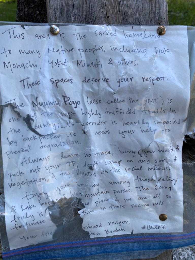
The McClure Meadow Ranger Station is nearby. Mules pack in 800 pounds of supplies, and a couple lucky wilderness rangers get to spend the summer with this view. And Ranger Helen found a way to reach hikers even when she wasn’t around to chat with us.
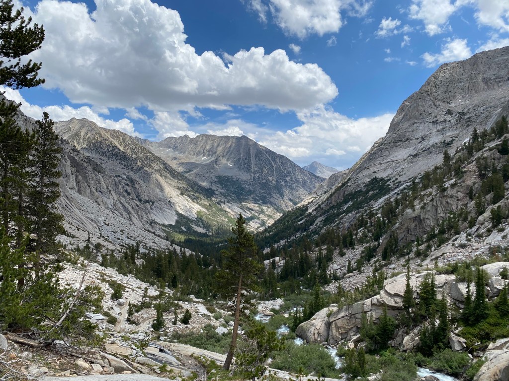
From the meadows, I climbed up out of Evolution Basin. Instead of outrunning a storm, this time, I got to enjoy the views as I climbed higher and higher.
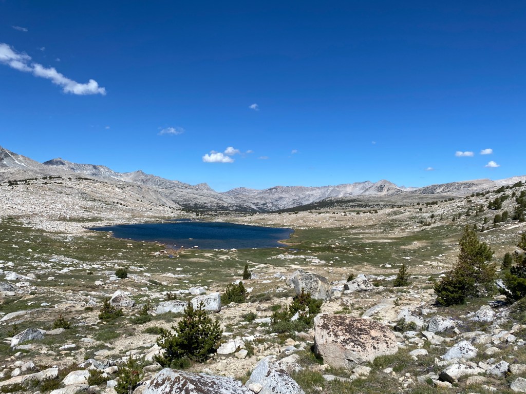
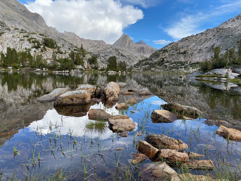
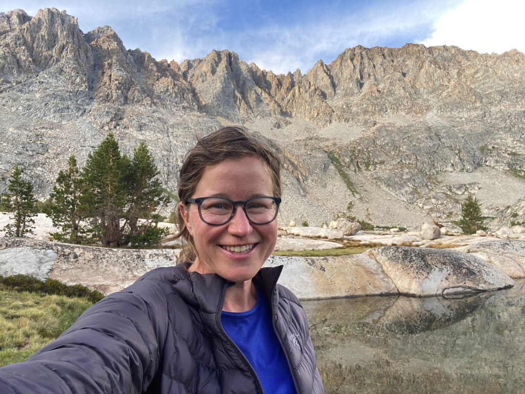
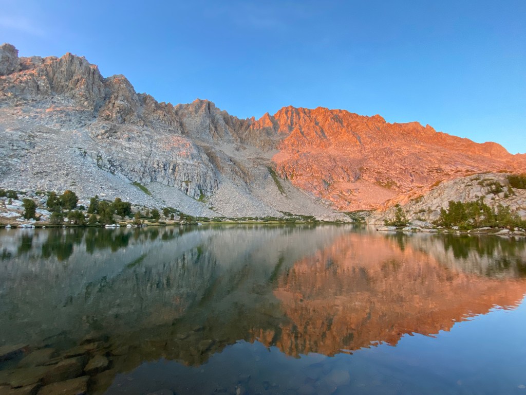
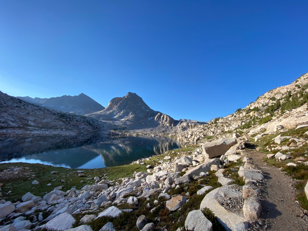
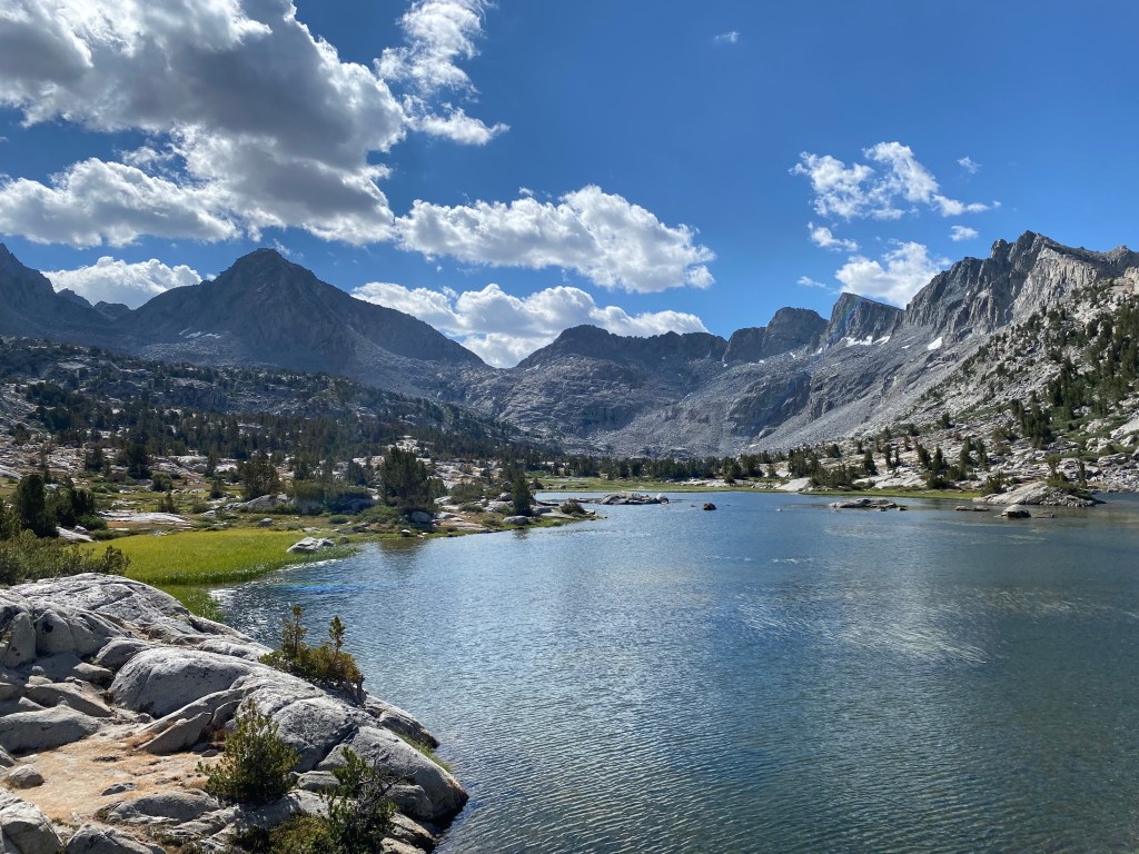
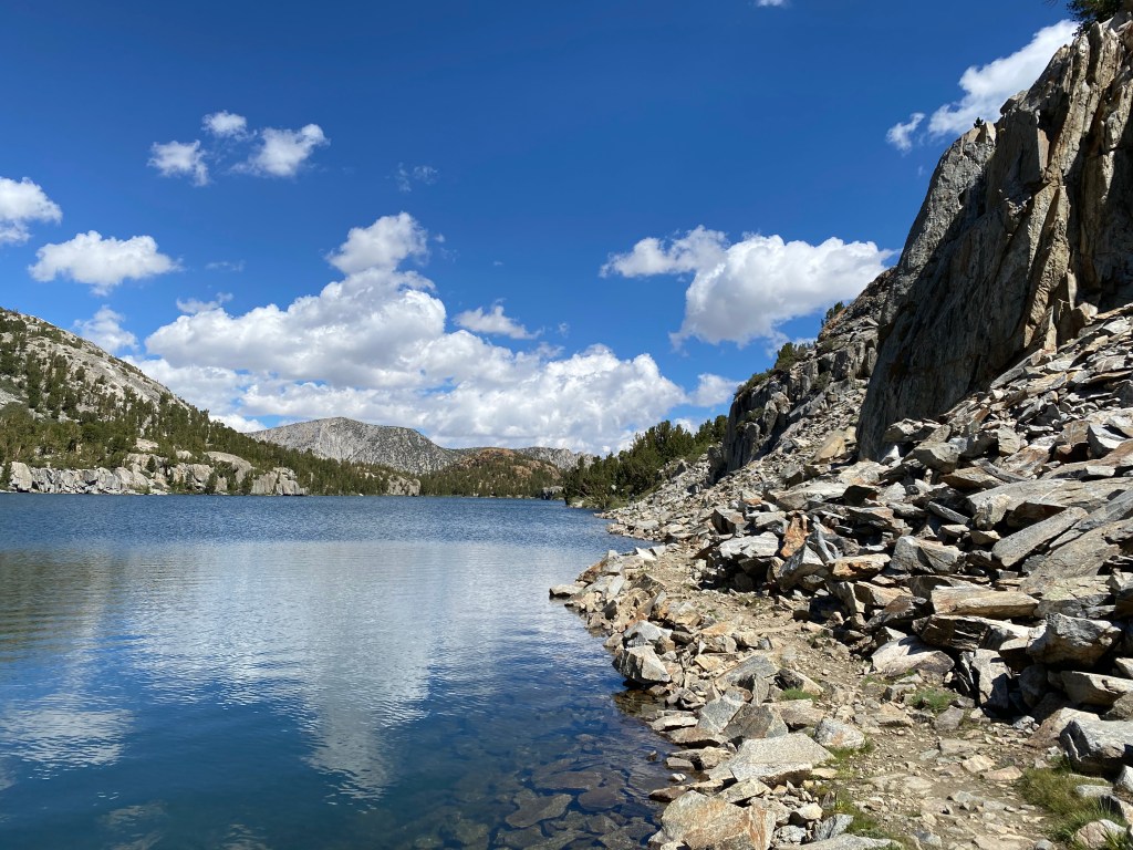
Soon enough, I found myself back at Evolution Lake, one of the most beautiful places I have ever visited.
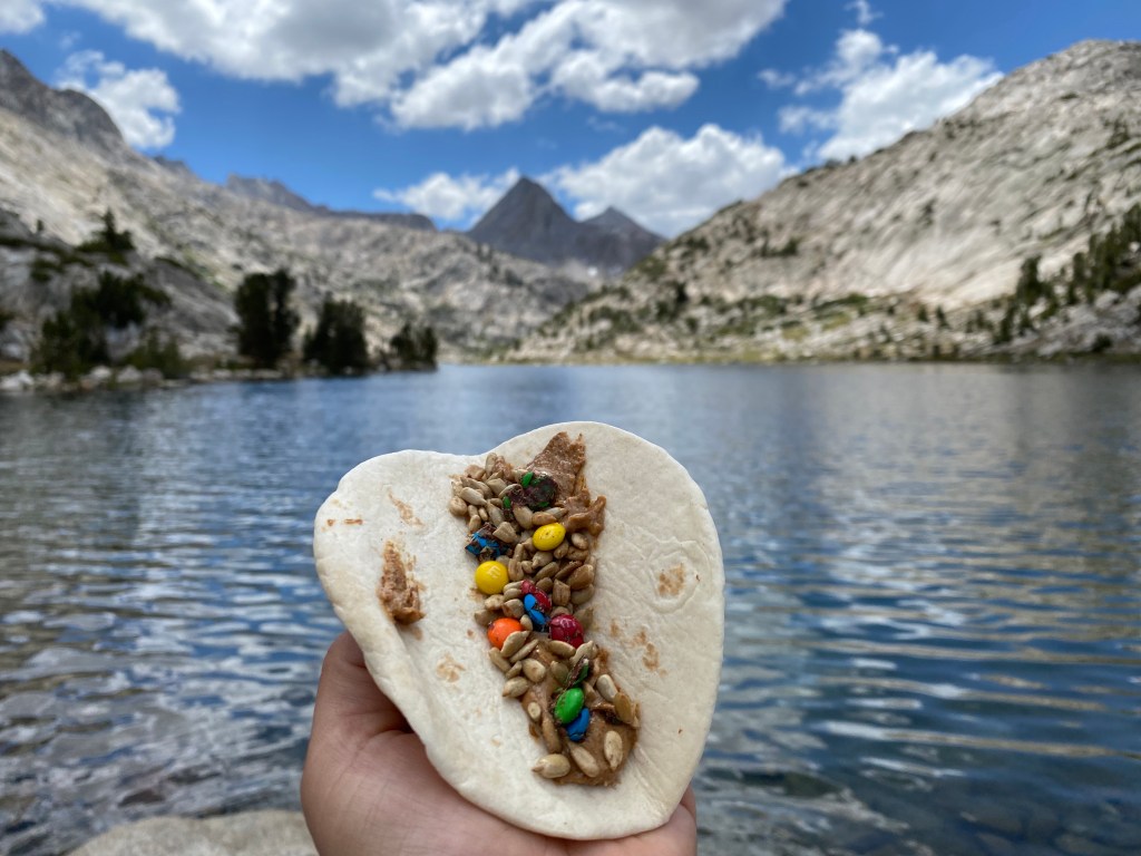
Lakeside, I enjoyed my favorite trail snack: a tortilla with almond butter, sunflower seeds, and mini M&Ms. A delicious high-calorie snack to restore my energy after the climb.
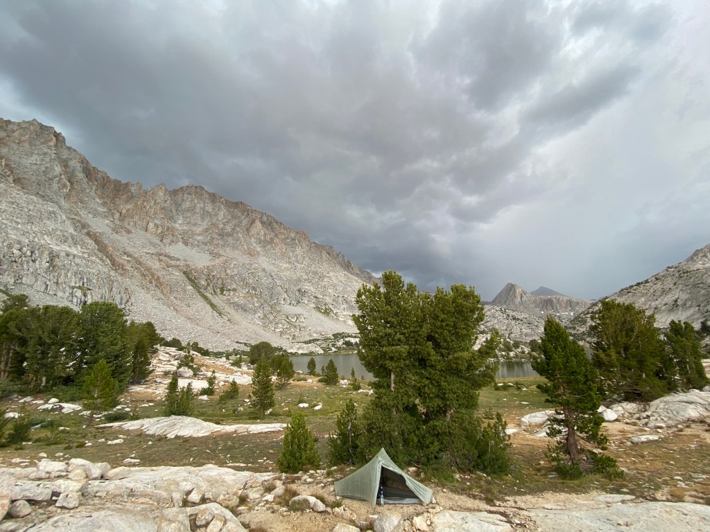
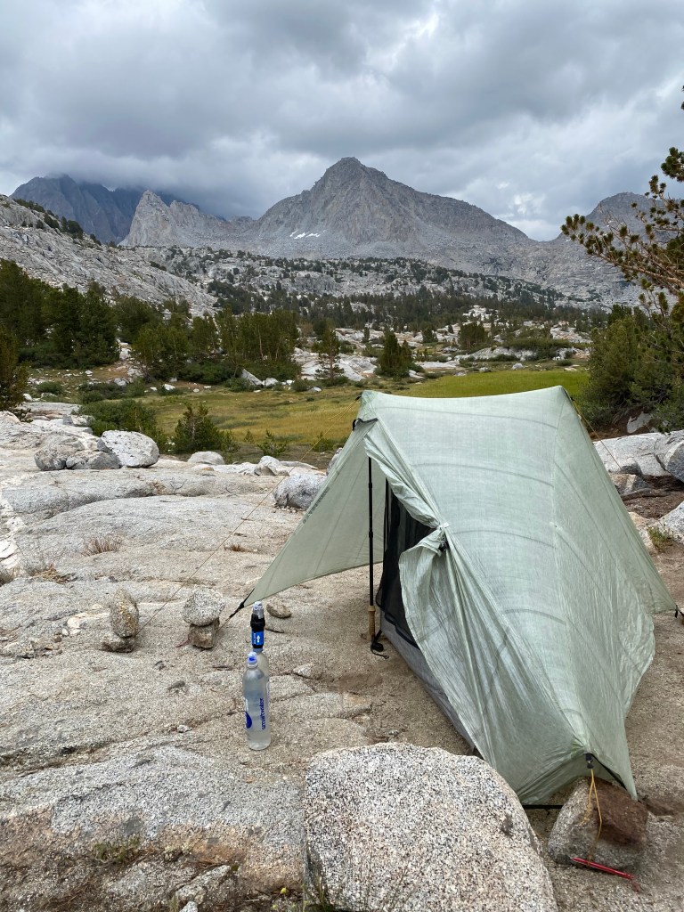
I set up my tent, and not a moment too soon. Storm clouds rolled in. Looks like I’d be sitting out another storm at Evolution Lake, after all!
There’s not a lot you can do during a thunderstorm. Find a spot that has some protection from wind and lightning strikes, away from the water, and hope that your site doesn’t flood and your pitch holds up. It can get really cold really fast, so I inflate my sleeping pad and throw on an extra layer. If lightning is nearby, I sit in the lightning position as long as my legs will allow it. But mostly I end up journaling, napping, organizing gear, eating snacks, and just assuming it will all end well.
This storm was a pretty decent one, but I’ve been through worse. Eventually it passed and I had a great evening at my favorite lake.
Day 4: Over Muir Pass and on to Big Pete Meadow
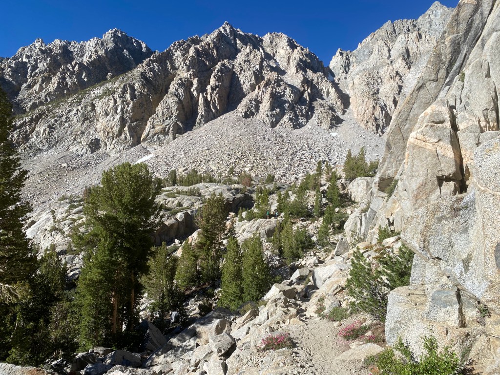
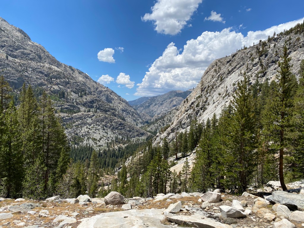
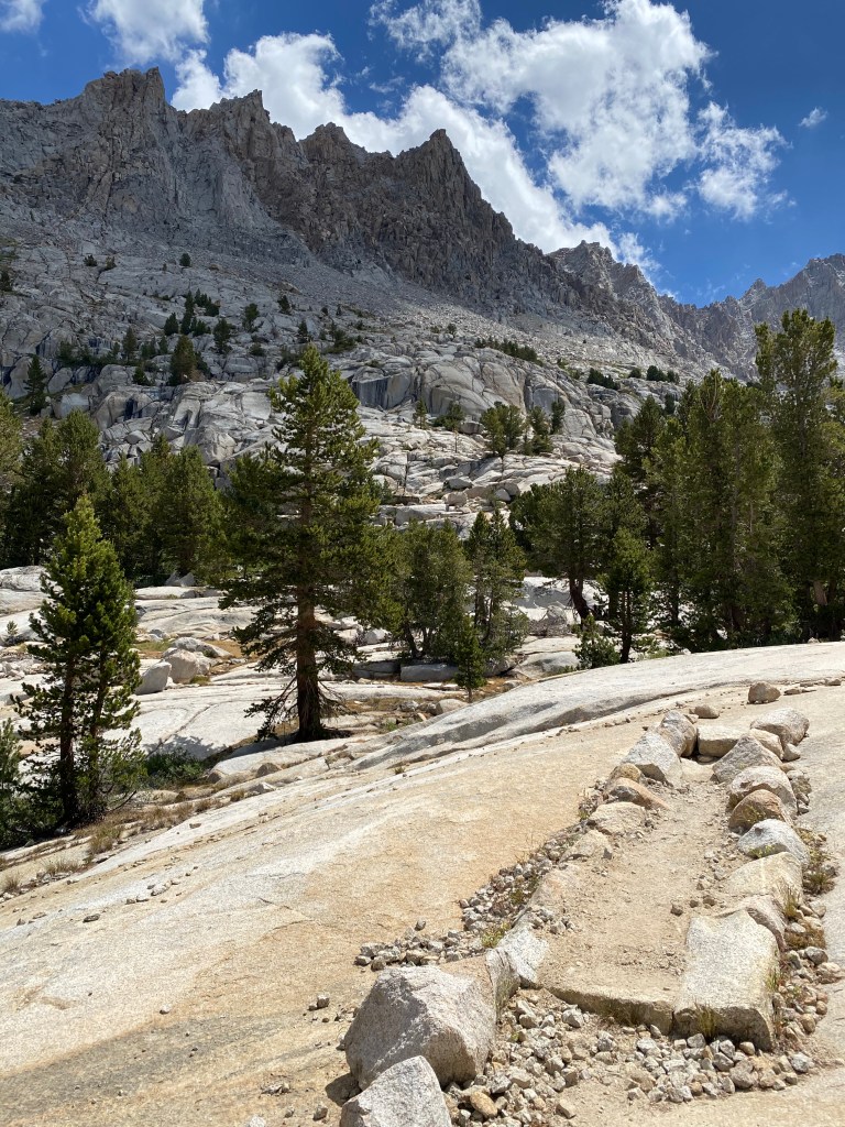
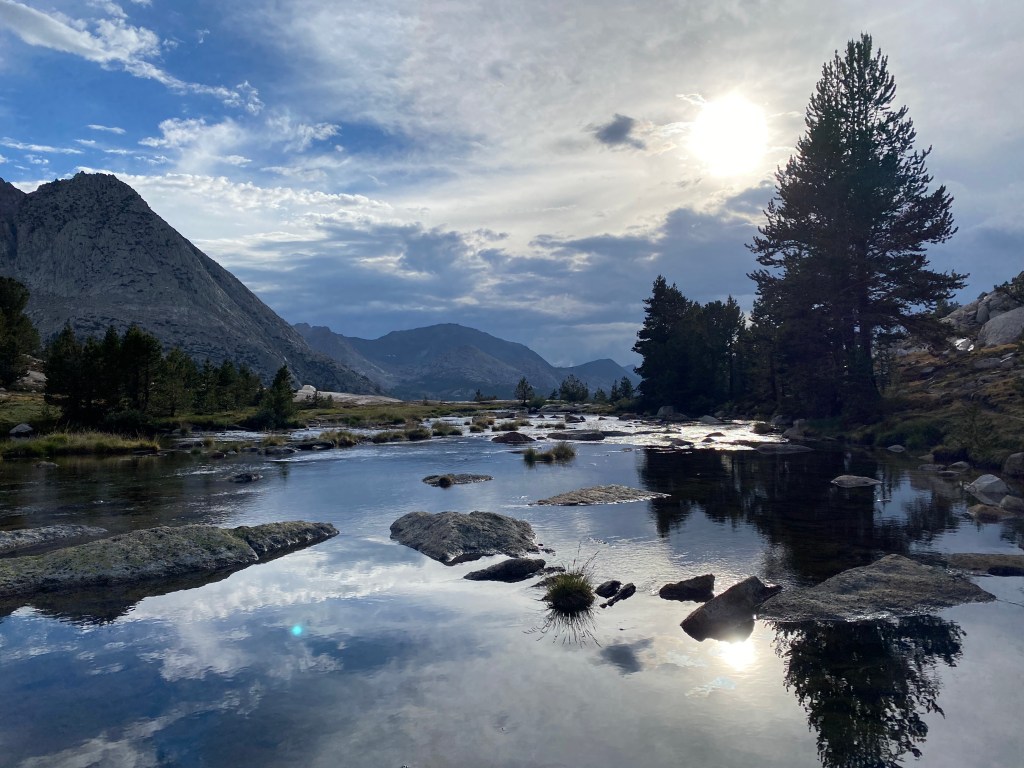
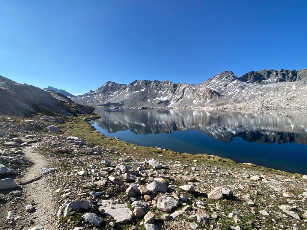
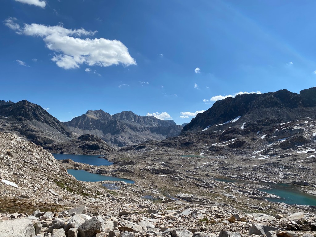
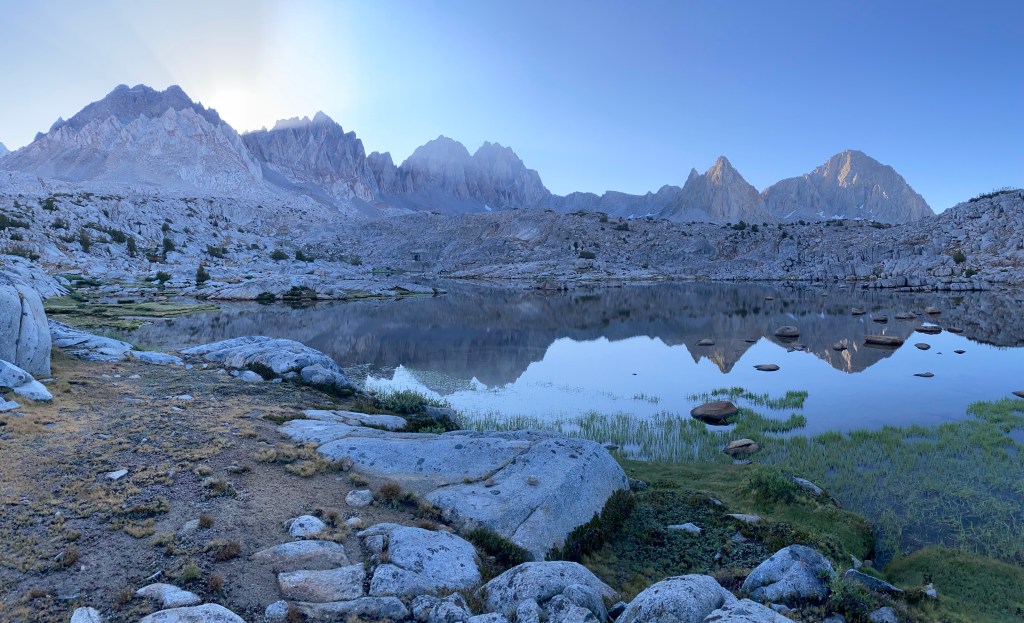
Today would be another epic one, taking me over Muir Pass and into LeConte Canyon through some of the most scenic stretches of the John Muir Trail. The morning began with a gradual four-mile climb to Muir Pass, winding around Sapphire and Wanda Lakes above tree line.

Heading down into LeConte Canyon is like a dangerous siren song, luring you to gaze at its beauty and distracting you from the very necessary focus needed to safely descend. It was just as intense for me the second time around. The trail drops steeply through rocky terrain, with scree-covered switchbacks. Every step requires attention.
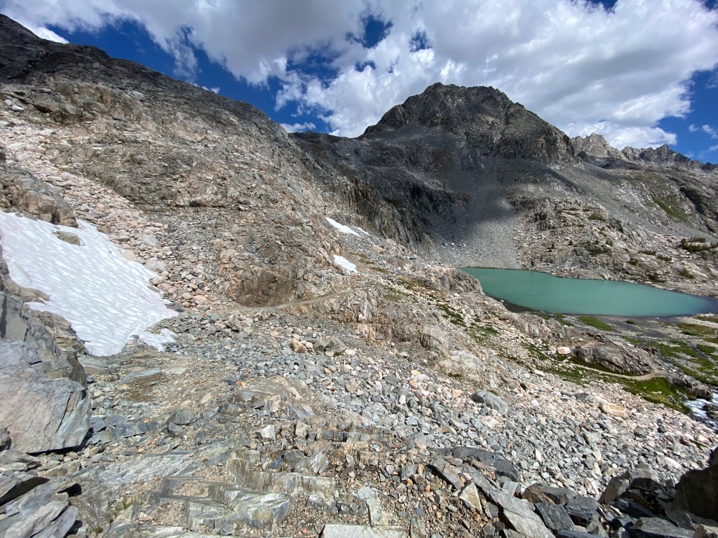
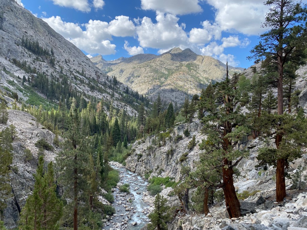
The rain from the previous night’s storm covers many stretches of trail with flowing water, which hikers must wade through.
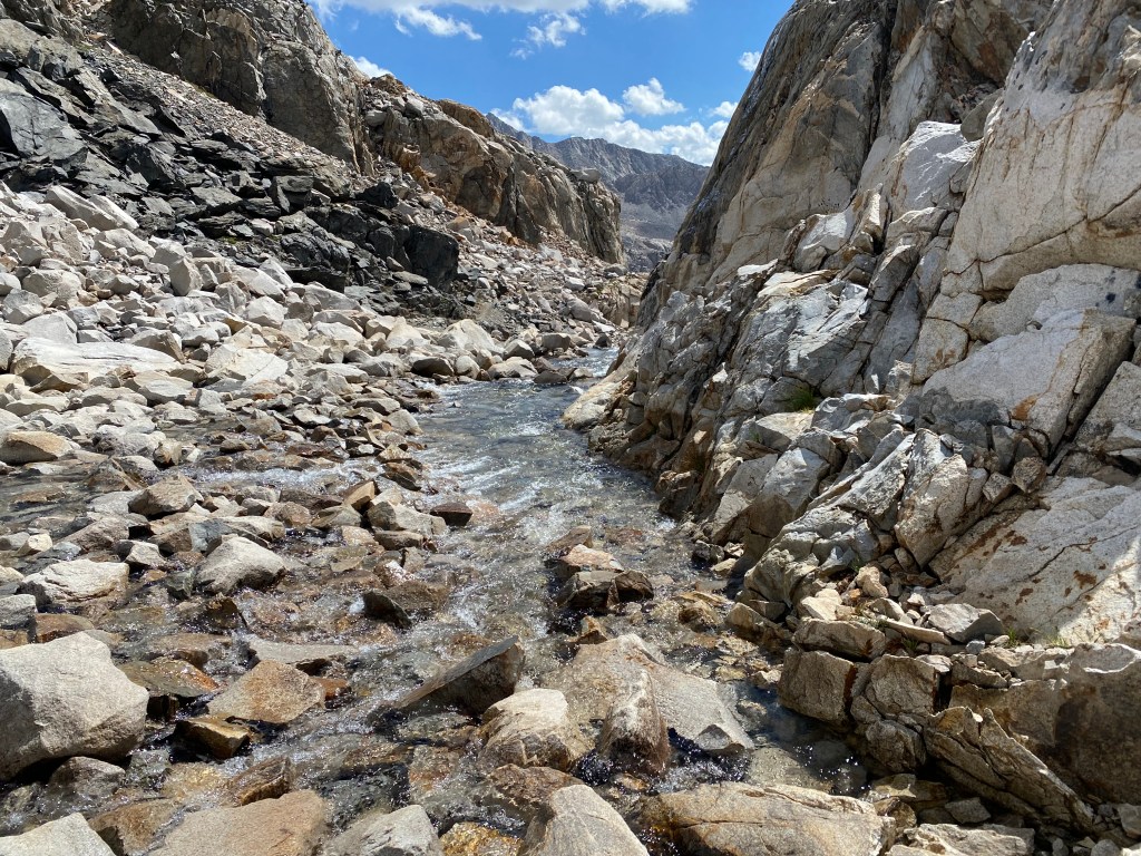
The rain has also engorged the cascading river that flows trailside. Its roar is constant, and it is very, very loud. The surrounding granite is gleaming white, almost blindingly white, in the morning sun.
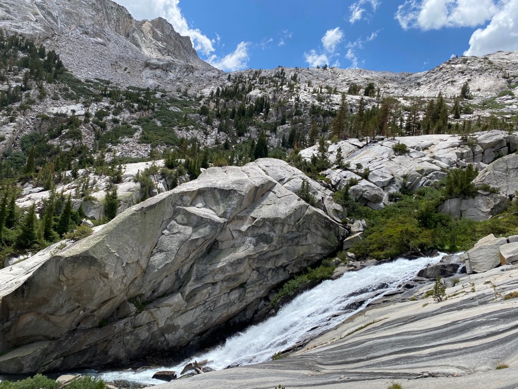
Amid all of this sensory overload, the trail directs hikers into a dramatic valley of waterfalls and lodgepole pine, framed by lichen-streaked granite and craggy peaks.
This descent is demanding, both physically and mentally, and the kind of Type 2 fun we all head into the mountains to experience!
My camp for the night was at Big Pete Meadow, deep in Le Conte Canyon, and it would set me up for my climb up to Dusy Basin the next day.
Day 5: to Lower Dusy Basin
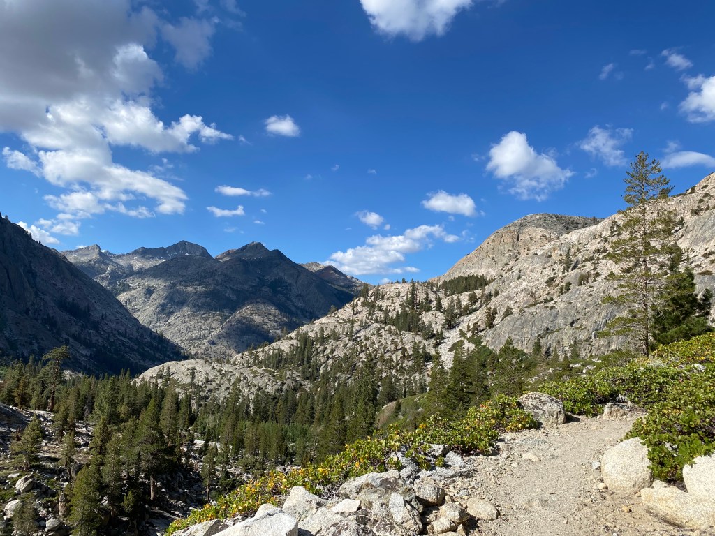
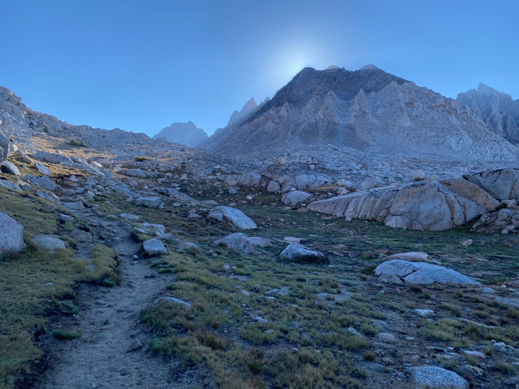
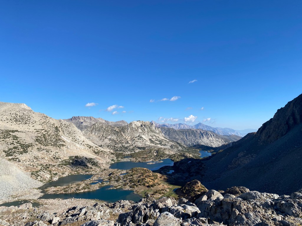
Today I would depart the John Muir Trail and head into Dusy Basin. At the junction, the trail climbed 2,000 feet up the eastern wall of Le Conte Canyon in just 3 miles — a stiff climb made easier by the fantastic views of the peaks across the way.
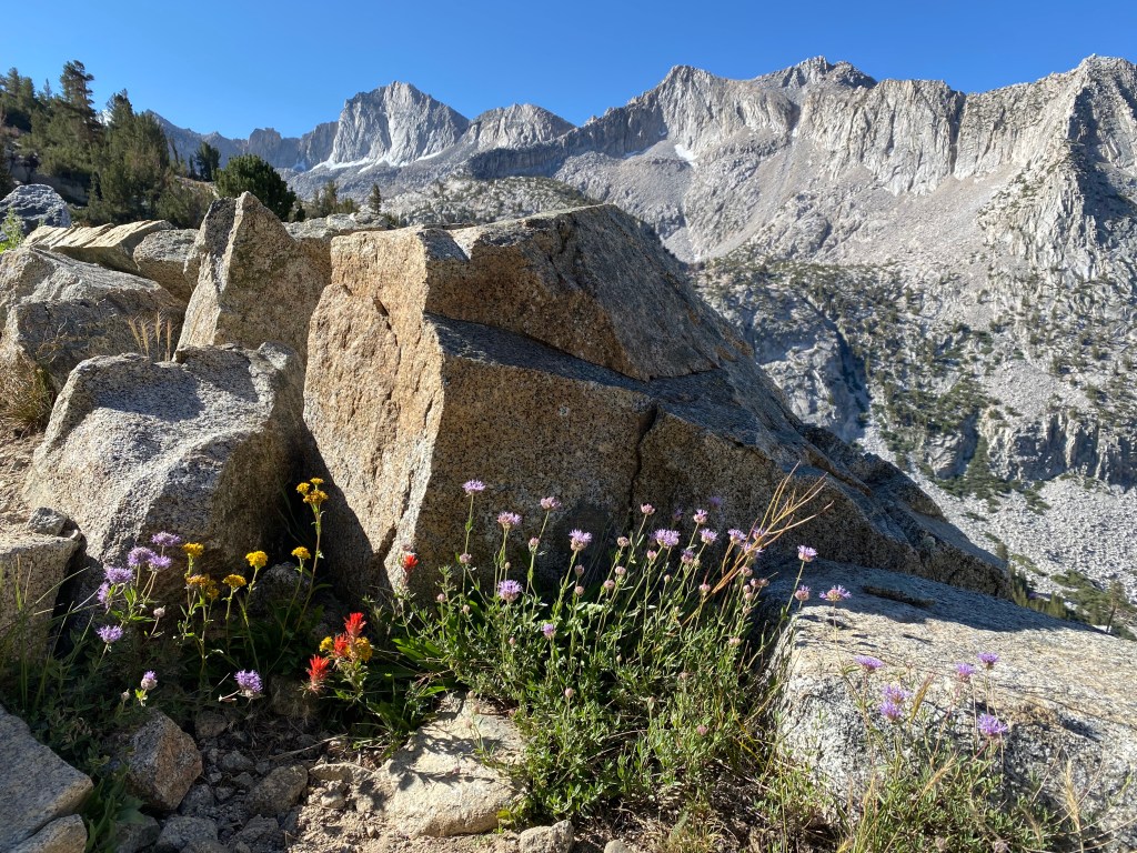
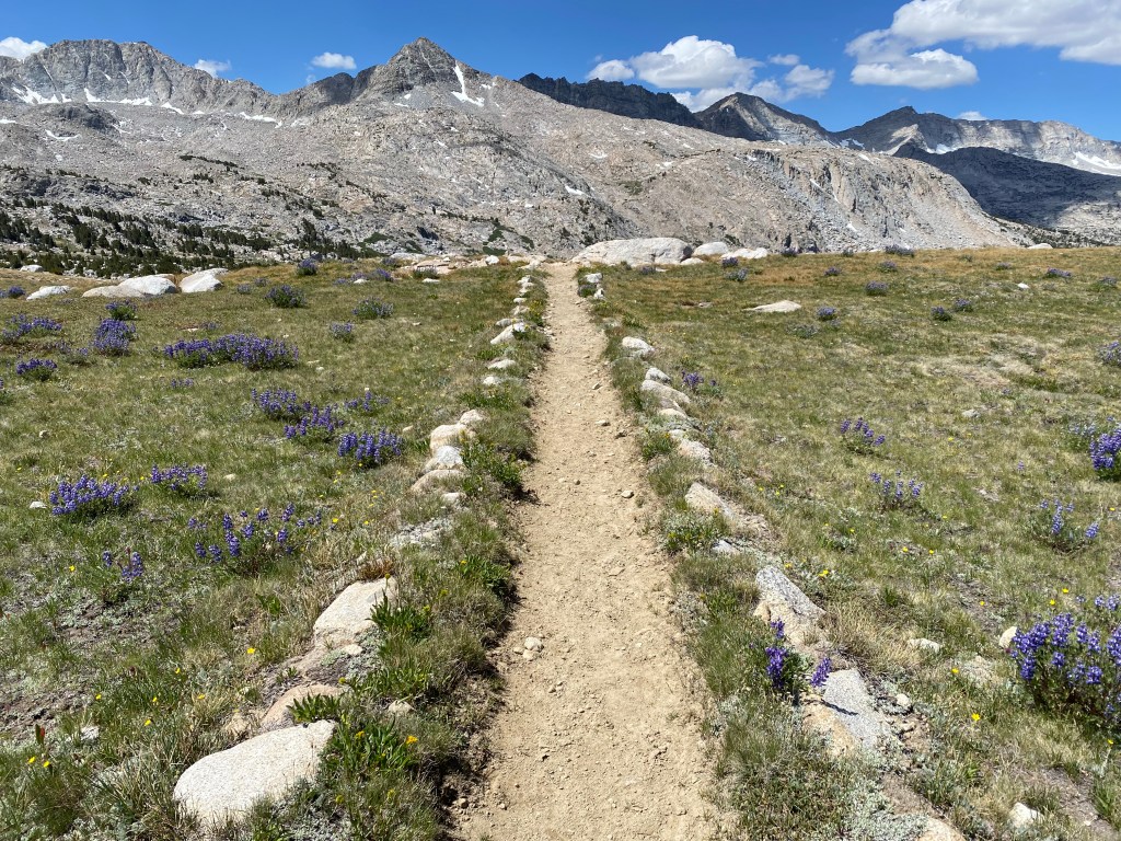
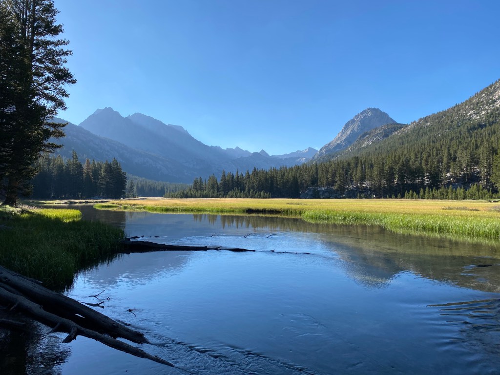
I arrived at Lower Dusy Basin by mid morning. The trail leveled out into a fairytale of pocket-sized meadows studded with wildflowers, bubbling creeks, granite outcroppings, and pine trees.
I had intended to continue to Upper Dusy Basin, but I couldn’t pull myself away! This is my favorite type of alpine scenery, with so many secret pockets to scramble through and explore. I knew storms in Upper Dusy could be violent, and with clouds already building, I decided to stay.
Eventually, a storm moved in, cloaking Upper Dusy in scary, dark clouds and sending stiff gusts of wind and rain through Lower Dusy.
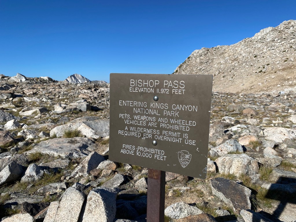
Day 6: over Bishop Pass and out to South Lake
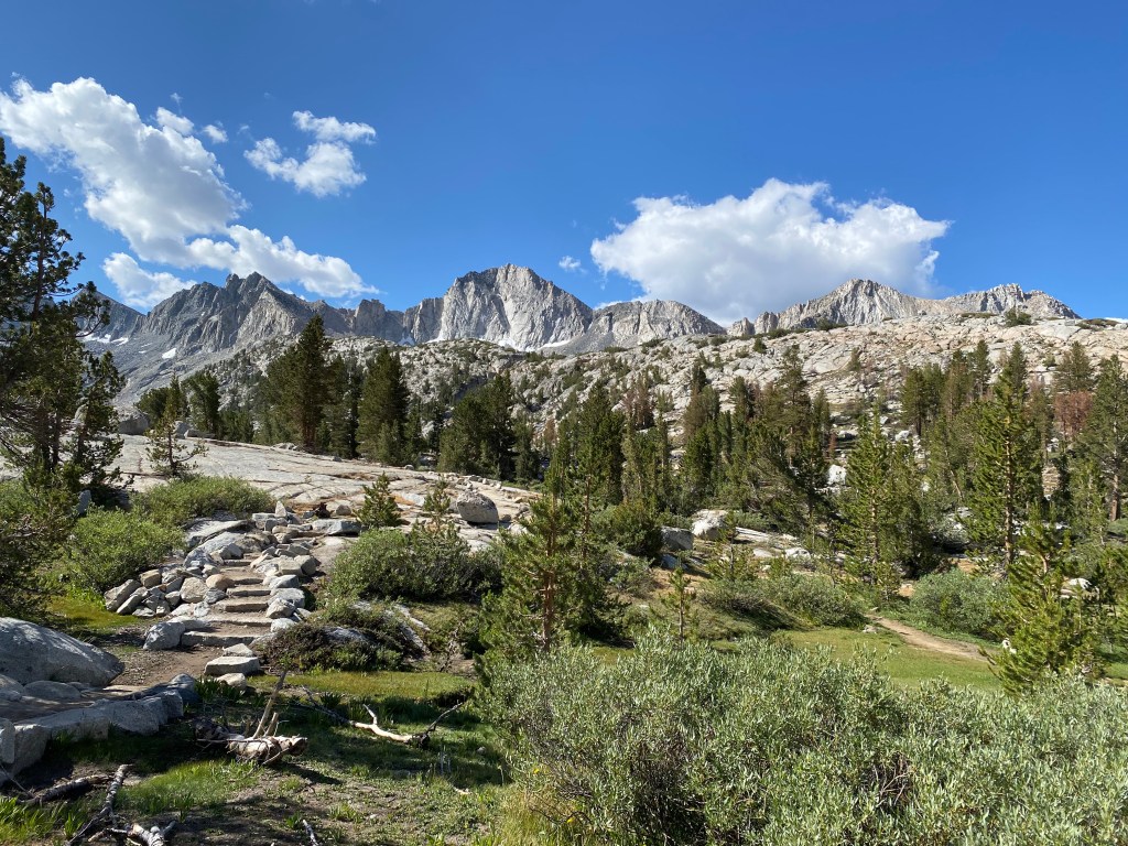
My final day! I began with a climb to Upper Dusy Basin, a place that begs for some off-trail exploration. Being pretty tired, I decided to skip that this trip and continue over Bishop Pass.
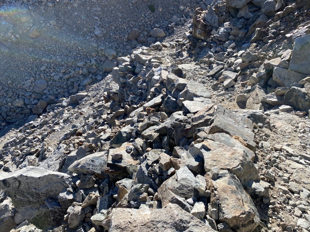
The switchbacks coming down from Bishop Pass are a remarkable bit of trail construction, providing a well-graded descent in what is basically a giant wall of talus.
As I got closer to the trailhead, I began to see many day hikers, a reliable sign that the end is near. Actually, I could sometimes smell their freshly laundered clothes and shampooed hair before I could see them! That’s what six days in the wilderness can do to you.
I was sad for it to end, but I had more to look forward to–John would be flying out to California to spend a few days with me! I returned to Bishop and the Eastside Guesthouse and Bivy to shower, do laundry, and rest before his arrival.
